|
|
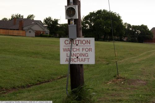 |
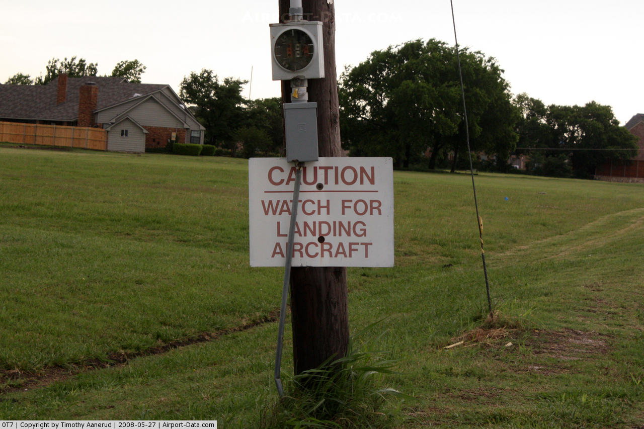
(Click on the photo to enlarge) |
 |
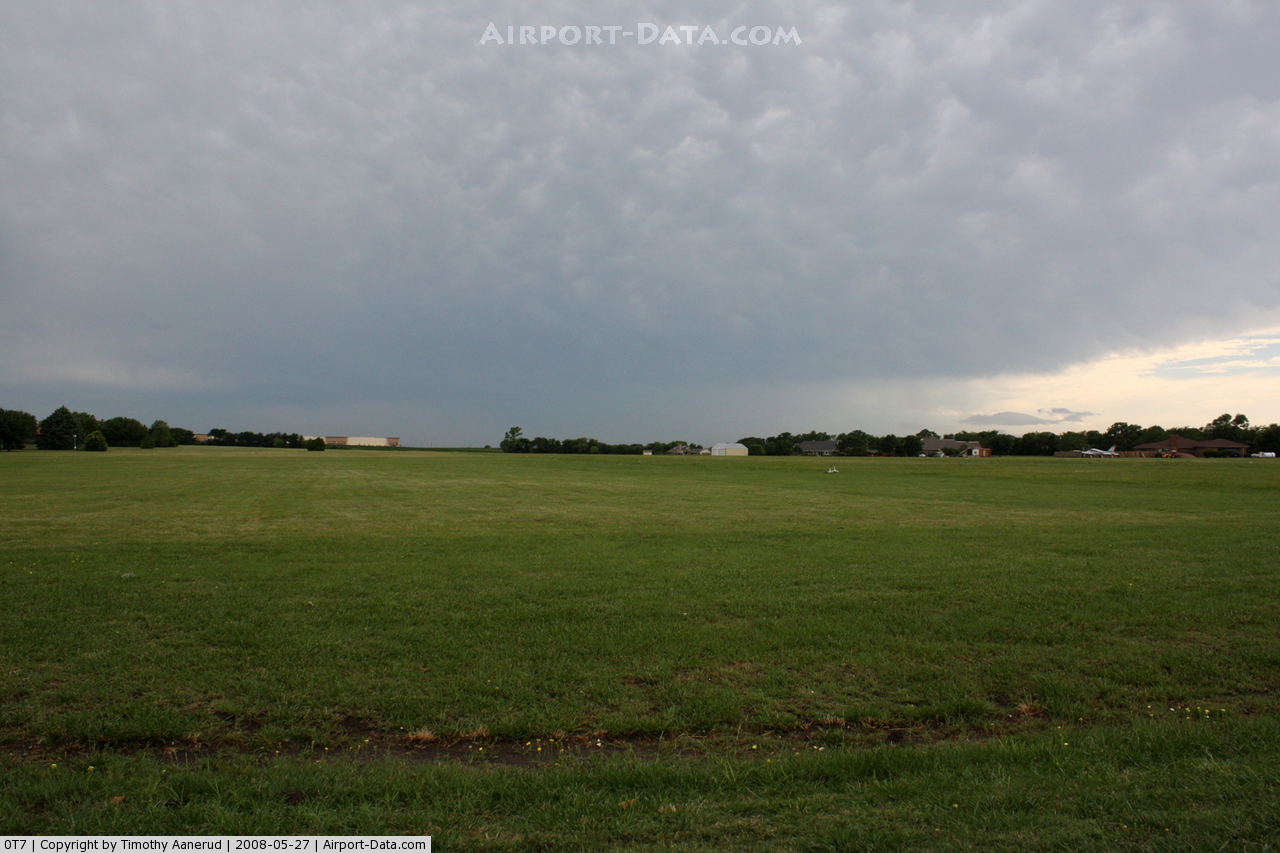
(Click on the photo to enlarge) |
Location & QuickFacts
| FAA Information Effective: | 2008-09-25 |
| Airport Identifier: | 0T7 |
| Airport Status: | Operational |
| Longitude/Latitude: | 096-41-00.9820W/33-07-34.4260N
-96.683606/33.126229 (Estimated) |
| Elevation: | 700 ft / 213.36 m (Estimated) |
| Land: | 66 acres |
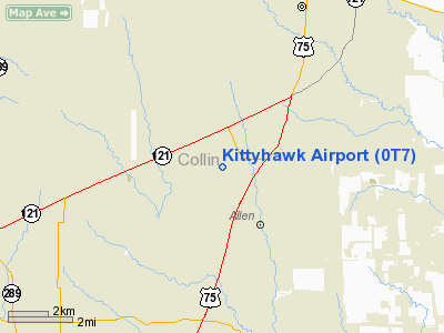
| From nearest city: | 1 nautical miles NW of Allen, TX |
| Location: | Collin County, TX |
| Magnetic Variation: | 06E (1985) |
Owner & Manager
| Ownership: | Privately owned |
| Owner: | Kittyhawk Estates Assn |
| Address: | 2000 W Kittyhawk Drive
Allen, TX 75013 |
| Phone number: | 972-727-5630 |
| Manager: | Jack Winthrop |
| Address: | 2007 E Kittyhawk Drive
Allen, TX 75013 |
| Phone number: | 972-727-5649 |
Airport Operations and Facilities
| Airport Use: | Open to public |
| Wind indicator: | Yes |
| Segmented Circle: | No |
| Control Tower: | No |
| Lighting Schedule: | RDO-CTL
ACTVT LIRL RY 18/36 - 122.75. |
| Landing fee charge: | No |
| Sectional chart: | Dallas-ft Worth |
| Region: | ASW - Southwest |
| Boundary ARTCC: | ZFW - Fort Worth |
| Tie-in FSS: | FTW - Fort Worth |
| FSS on Airport: | No |
| FSS Phone: | 817-541-3474 |
| FSS Toll Free: | 1-800-WX-BRIEF |
| NOTAMs Facility: | FTW (NOTAM-d service avaliable) |
Airport Communications
Airport Services
| Airframe Repair: | NONE |
| Power Plant Repair: | NONE |
Runway Information
Runway 18/36
| Dimension: | 2300 x 195 ft / 701.0 x 59.4 m |
| Surface: | TURF, Good Condition
RY SOFT AFT RAIN. |
| Edge Lights: | Non-standard lighting system
NSTD LIRL; HOMEMADE WITH FRUIT JAR LENS & 3 GREEN THLD LGTS BOTH ENDS. |
| |
Runway 18 |
Runway 36 |
| Traffic Pattern: | Left | Left |
| Displaced threshold: | 95.00 ft
DISPLACED THRESHOLD MARKED BY TWO GREEN LIGHTS ON BOTH SIDES OF THE RY. | 0.00 ft |
| Obstruction: | 9 ft road, 32.0 ft from runway, 3:1 slope to clear
APCH SLOPE 14:1 TO DSPLCD THLD. | , 0.0 ft from runway, 50:1 slope to clear |
|
Radio Navigation Aids
| ID |
Type |
Name |
Ch |
Freq |
Var |
Dist |
| PQF | NDB | Mesquite | | 248.00 | 06E | 20.6 nm |
| MII | NDB | Caddo Mills | | 316.00 | 06E | 22.5 nm |
| JUG | NDB | Jecca | | 388.00 | 06E | 28.6 nm |
| RBD | NDB | Redbird | | 287.00 | 06E | 28.6 nm |
| AVZ | NDB | Travis | | 260.00 | 06E | 31.1 nm |
| SYW | NDB | Cash | | 428.00 | 05E | 32.2 nm |
| LNC | NDB | Lancaster | | 239.00 | 06E | 33.0 nm |
| XQH | NDB | Cedar Hill | | 353.00 | 08E | 35.4 nm |
| HJM | NDB | Rayburn | | 415.00 | 06E | 38.8 nm |
| DNI | NDB | Denison | | 341.00 | 06E | 41.9 nm |
| GLE | NDB | Gainesville | | 330.00 | 06E | 44.0 nm |
| MJF | TACAN | Arvilla | 033X | | 05E | 31.5 nm |
| NFW | TACAN | Nas Jrb Fort Worth | 024X | | 07E | 43.7 nm |
| CVE | VOR/DME | Cowboy | 109X | 116.20 | 06E | 18.0 nm |
| TTT | VOR/DME | Maverick | 078X | 113.10 | 06E | 23.7 nm |
| FUZ | VORTAC | Ranger | 104X | 115.70 | 06E | 28.8 nm |
| BYP | VORTAC | Bonham | 093X | 114.60 | 06E | 33.5 nm |
| DAL | VOT | Dallas Love Field | | 113.30 | | 18.8 nm |
| FTW | VOT | Fort Worth Meacham | | 108.20 | | 38.8 nm |
Images and information placed above are from
http://www.airport-data.com/airport/0T7/
We thank them for the data!
| General Info
|
| Country |
United States
|
| State |
TEXAS
|
| FAA ID |
0T7
|
| Latitude |
33-07-34.426N
|
| Longitude |
096-41-00.982W
|
| Elevation |
725 feet
|
| Near City |
ALLEN
|
We don't guarantee the information is fresh and accurate. The data may
be wrong or outdated.
For more up-to-date information please refer to other sources.
|
|