|
|
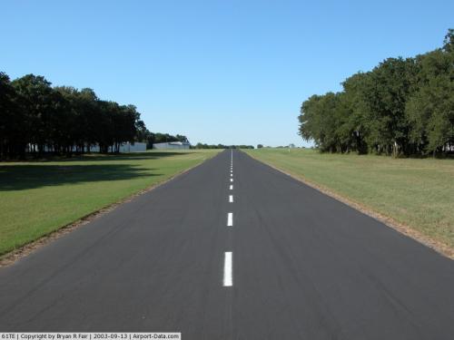 |
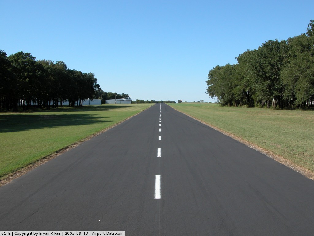
(Click on the photo to enlarge) |
Location & QuickFacts
| FAA Information Effective: | 2008-09-25 |
| Airport Identifier: | 61TE |
| Airport Status: | Operational |
| Longitude/Latitude: | 097-37-11.0900W/32-59-12.4440N
-97.619747/32.986790 (Estimated) |
| Elevation: | 830 ft / 252.98 m (Estimated) |
| Land: | 30 acres |
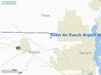
| From nearest city: | 3 nautical miles NE of Springtown, TX |
| Location: | Parker County, TX |
| Magnetic Variation: | 07E (1985) |
Owner & Manager
| Ownership: | Privately owned |
| Owner: | Joe Crosswell |
| Address: | 4367 Knob Road
Springtown, TX 76082 |
| Phone number: | 817-677-2222 |
| Manager: | Joe Crosswell |
| Address: | 4367 Knob Road
Springtown, TX 76082 |
| Phone number: | 817-677-2222 |
Airport Operations and Facilities
| Airport Use: | Private |
| Wind indicator: | Yes |
| Segmented Circle: | No |
| Control Tower: | No |
| Landing fee charge: | No |
| Sectional chart: | Dallas-ft Worth |
| Region: | ASW - Southwest |
| Boundary ARTCC: | ZFW - Fort Worth |
| Tie-in FSS: | FTW - Fort Worth |
| FSS on Airport: | No |
| FSS Phone: | 817-541-3474 |
| FSS Toll Free: | 1-800-WX-BRIEF |
Airport Communications
Airport Services
| Fuel available: | 100 80 |
| Airframe Repair: | MAJOR |
| Power Plant Repair: | MINOR
POWER PLANT REPAIRS BY PRIOR ARRANGEMENT. |
| Bottled Oxygen: | NONE |
| Bulk Oxygen: | NONE |
Runway Information
Runway 16/34
| Dimension: | 2400 x 20 ft / 731.5 x 6.1 m |
| Surface: | ASPH, |
| Weight Limit: | Single wheel: 4000 lbs. |
| |
Runway 16 |
Runway 34 |
| Traffic Pattern: | Left | Left |
| Runway End Identifier: | No | No |
| Centerline Lights: | No | No |
| Touchdown Lights: | No | No |
| Obstruction: | 69 ft trees, 1200.0 ft from runway, 14:1 slope to clear
+6' BRUSH 195' 100L OF EXTDD CNTRLN. | 25 ft trees, 1000.0 ft from runway, 32:1 slope to clear
4' FENCE 30' FROM THR; ROAD 40' FROM THR ACROSS APCH. |
|
Radio Navigation Aids
| ID |
Type |
Name |
Ch |
Freq |
Var |
Dist |
| MWL | NDB | Mineral Wells | | 266.00 | 06E | 25.2 nm |
| GMZ | NDB | Grindstone Mountain | | 356.00 | 07E | 38.0 nm |
| GZV | NDB | Brazos River | | 280.00 | 07E | 40.1 nm |
| XQH | NDB | Cedar Hill | | 353.00 | 08E | 40.3 nm |
| RBD | NDB | Redbird | | 287.00 | 06E | 42.2 nm |
| GHX | NDB | Graham | | 371.00 | 07E | 45.5 nm |
| GLE | NDB | Gainesville | | 330.00 | 06E | 48.8 nm |
| NFW | TACAN | Nas Jrb Fort Worth | 024X | | 07E | 15.8 nm |
| TTT | VOR/DME | Maverick | 078X | 113.10 | 06E | 30.1 nm |
| CVE | VOR/DME | Cowboy | 109X | 116.20 | 06E | 36.6 nm |
| FUZ | VORTAC | Ranger | 104X | 115.70 | 06E | 23.0 nm |
| MQP | VORTAC | Millsap | 124X | 117.70 | 09E | 24.7 nm |
| UKW | VORTAC | Bowie | 071X | 112.40 | 06E | 34.5 nm |
| FTW | VOT | Fort Worth Meacham | | 108.20 | | 16.7 nm |
| DAL | VOT | Dallas Love Field | | 113.30 | | 39.6 nm |
Remarks
- 5' LINE OF SIGHT NOT AVBL BETWEEN RWY ENDS.
Images and information placed above are from
http://www.airport-data.com/airport/61TE/
We thank them for the data!
| General Info
|
| Country |
United States
|
| State |
TEXAS
|
| FAA ID |
61TE
|
| Latitude |
32-59-12.444N
|
| Longitude |
097-37-11.090W
|
| Elevation |
830 feet
|
| Near City |
SPRINGTOWN
|
We don't guarantee the information is fresh and accurate. The data may
be wrong or outdated.
For more up-to-date information please refer to other sources.
|
|