 |
|
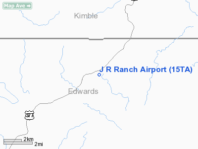
Location & QuickFacts
| FAA Information Effective: | 2008-09-25 |
| Airport Identifier: | 15TA |
| Airport Status: | Operational |
| Longitude/Latitude: | 099-56-49.2570W/30-15-15.7020N
-99.947016/30.254362 (Estimated) |
| Elevation: | 1125 ft / 342.90 m (Estimated) |
| Land: | 0 acres |
| From nearest city: | 3 nautical miles N of Briggs, TX |
| Location: | Burnet County, TX |
| Magnetic Variation: | 08E (1985) |
Owner & Manager
| Ownership: | Privately owned |
| Owner: | James R. Hensley |
| Address: | Po Box H
Bertram, TX 78605 |
| Phone number: | 512-489-2352 |
| Address: |
|
Airport Operations and Facilities
| Airport Use: | Private
PERSONAL USE. |
| Wind indicator: | Yes |
| Segmented Circle: | No |
| Control Tower: | No |
| Sectional chart: | San Antonio |
| Region: | ASW - Southwest |
| Boundary ARTCC: | ZHU - Houston |
| Tie-in FSS: | SJT - San Angelo |
| FSS on Airport: | No |
| FSS Toll Free: | 1-800-WX-BRIEF |
Runway Information
Runway 16/34
| Dimension: | 3200 x 75 ft / 975.4 x 22.9 m |
| Surface: | TURF, |
| |
Runway 16 |
Runway 34 |
| Traffic Pattern: | Left | Left |
|
Radio Navigation Aids
| ID |
Type |
Name |
Ch |
Freq |
Var |
Dist |
| SOA | NDB | Sonora | | 371.00 | 08E | 41.3 nm |
| JCT | VORTAC | Junction | 107X | 116.00 | 08E | 21.7 nm |
| RSG | VORTAC | Rocksprings | 049X | 111.20 | 10E | 23.3 nm |
| CSI | VORTAC | Center Point | 122X | 117.50 | 08E | 43.0 nm |
Remarks
- PRVDD ALL TFC PATTERN OPNS ARE CONDUCTED PER OPERATIONAL LTR OF AGREEMENT BTWN FLYING K ARPT; THE FLF GLIDERPORT & THE J R RANCH ARPT.
Images and information placed above are from
http://www.airport-data.com/airport/15TA/
We thank them for the data!
| General Info
|
| Country |
United States
|
| State |
TEXAS
|
| FAA ID |
15TA
|
| Latitude |
30-15-15.702N
|
| Longitude |
099-56-49.257W
|
| Elevation |
1125 feet
|
| Near City |
BRIGGS
|
We don't guarantee the information is fresh and accurate. The data may
be wrong or outdated.
For more up-to-date information please refer to other sources.
|
|


