 |
|
Location & QuickFacts
| FAA Information Effective: | 2008-09-25 |
| Airport Identifier: | 8TE2 |
| Airport Status: | Operational |
| Longitude/Latitude: | 102-31-41.5220W/31-31-40.4890N
-102.528201/31.527914 (Estimated) |
| Elevation: | 2667 ft / 812.90 m (Surveyed) |
| Land: | 0 acres |
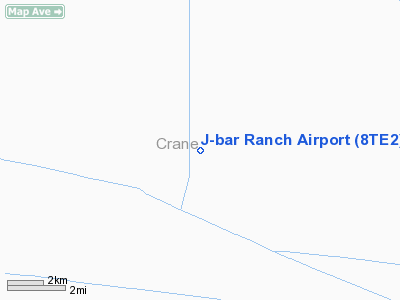
| From nearest city: | 12 nautical miles NW of Crane, TX |
| Location: | Crane County, TX |
| Magnetic Variation: | 09E (1985) |
Owner & Manager
| Ownership: | Privately owned |
| Owner: | Harold R. Smith |
| Address: | Po Box 1832
Penwell, TX 79776 |
| Phone number: | 915-558-3114 |
| Manager: | Calvin B. Smith |
| Address: | Po Box 1832
Penwell, TX 79776 |
| Phone number: | 915-558-3114 |
Airport Operations and Facilities
| Airport Use: | Private |
| Wind indicator: | Yes
NO SOCK ON WINDCONE. |
| Segmented Circle: | No |
| Control Tower: | No |
| Landing fee charge: | No |
| Sectional chart: | San Antonio |
| Region: | ASW - Southwest |
| Boundary ARTCC: | ZFW - Fort Worth |
| Tie-in FSS: | SJT - San Angelo |
| FSS on Airport: | No |
| FSS Toll Free: | 1-800-WX-BRIEF |
Airport Services
| Airframe Repair: | NONE |
| Power Plant Repair: | NONE |
Runway Information
Runway 06/24
| Dimension: | 2600 x 40 ft / 792.5 x 12.2 m
THR RWY 06 NOT DEFINABLE. |
| Surface: | GRVL,
CALICHE
CALICHE |
| |
Runway 06 |
Runway 24 |
| Traffic Pattern: | Left | Left |
| Obstruction: | 40 ft pline, 200.0 ft from runway, 5:1 slope to clear | , 0.0 ft from runway |
|
Runway 15/33
| Dimension: | 3300 x 50 ft / 1005.8 x 15.2 m
THR RWY 06 NOT DEFINABLE. |
| Surface: | GRVL,
CALICHE
CALICHE |
| |
Runway 15 |
Runway 33 |
| Traffic Pattern: | Left | Left |
| Obstruction: | 4 ft fence | 6 ft fence, 0.0 ft from runway |
|
Radio Navigation Aids
| ID |
Type |
Name |
Ch |
Freq |
Var |
Dist |
| OHE | NDB | Monahans | | 214.00 | 09E | 19.6 nm |
| MA | NDB | Farly | | 326.00 | 09E | 29.5 nm |
| ANR | NDB | Andrews | | 245.00 | 09E | 49.3 nm |
| MAF | VORTAC | Midland | 095X | 114.80 | 11E | 33.7 nm |
| FST | VORTAC | Fort Stockton | 116X | 116.90 | 11E | 41.6 nm |
| INK | VORTAC | Wink | 058X | 112.10 | 11E | 42.1 nm |
| MAF | VOT | Midland International | | 108.20 | | 29.6 nm |
Remarks
- RWY 06/24 ALSO OILFIELD RANCH ROAD.
Images and information placed above are from
http://www.airport-data.com/airport/8TE2/
We thank them for the data!
| General Info
|
| Country |
United States
|
| State |
TEXAS
|
| FAA ID |
85TA
|
| Latitude |
32-38-10.484N
|
| Longitude |
097-10-56.042W
|
| Elevation |
680 feet
|
| Near City |
ARLINGTON
|
We don't guarantee the information is fresh and accurate. The data may
be wrong or outdated.
For more up-to-date information please refer to other sources.
|
|


