|
|
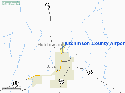
Hutchinson County Airport |
 |
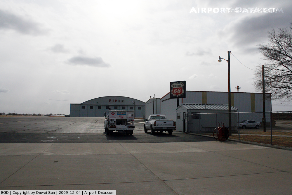
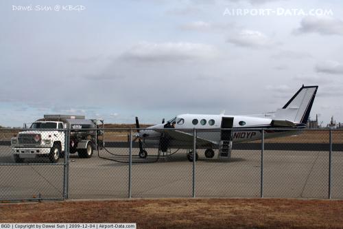
(Click on the photo to enlarge) |
 |
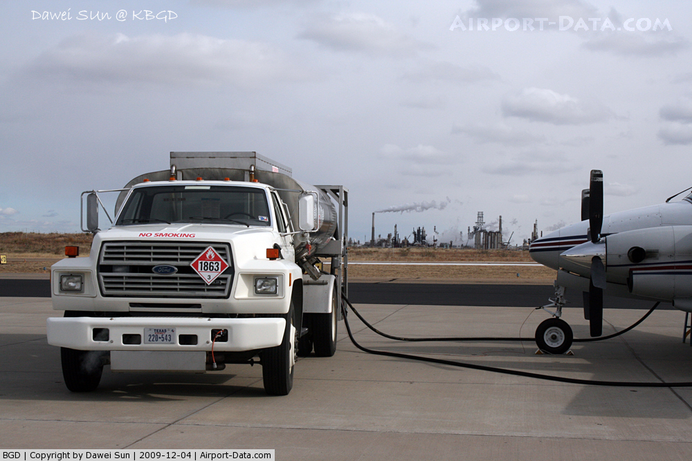
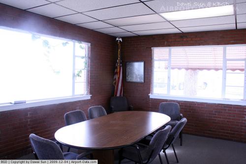
(Click on the photo to enlarge) |
 |
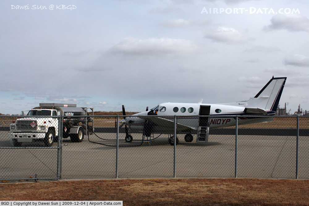
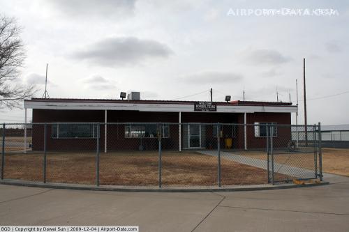
(Click on the photo to enlarge) |
 |
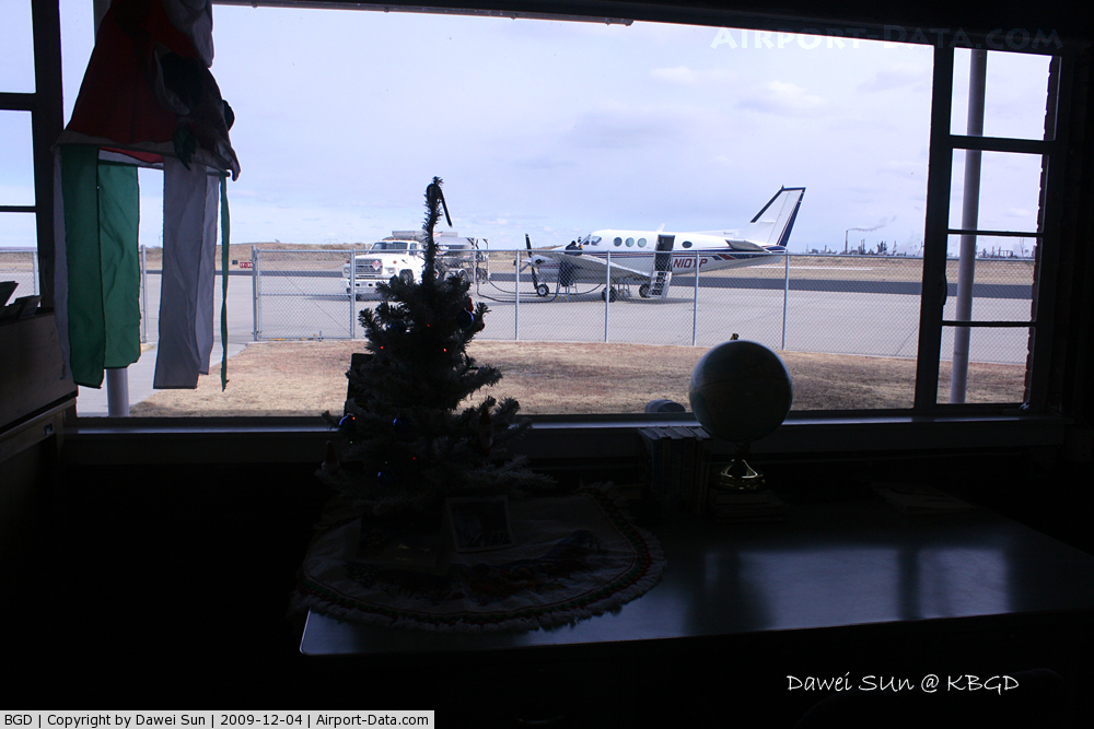
(Click on the photo to enlarge) |
 |
(Click on the photo to enlarge) |
 |
(Click on the photo to enlarge) |
 |
(Click on the photo to enlarge) |
Location & QuickFacts
| FAA Information Effective: | 2008-09-25 |
| Airport Identifier: | BGD |
| Airport Status: | Operational |
| Longitude/Latitude: | 101-23-37.1884W/35-42-03.2175N
-101.393663/35.700894 (Estimated) |
| Elevation: | 3055 ft / 931.16 m (Surveyed) |
| Land: | 370 acres |
| From nearest city: | 2 nautical miles N of Borger, TX |
| Location: | Hutchinson County, TX |
| Magnetic Variation: | 07E (2010) |
Owner & Manager
| Ownership: | Publicly owned |
| Owner: | Hutchinson County |
| Address: | County Courthouse
Stinnett, TX 79083 |
| Phone number: | 806-878-4000 |
| Manager: | Dennis O'bryant |
| Address: | Box 3470
Borger, TX 79008 |
| Phone number: | 806-273-0137 |
Airport Operations and Facilities
| Airport Use: | Open to public |
| Wind indicator: | Yes |
| Segmented Circle: | Yes |
| Control Tower: | No |
| Lighting Schedule: | DUSK-DAWN
ACTVT MIRL RYS 03/21 & 17/35; PAPI RYS 17 & 35 - CTAF. |
| Beacon Color: | Clear-Green (lighted land airport) |
| Landing fee charge: | No |
| Sectional chart: | Dallas-ft Worth |
| Region: | ASW - Southwest |
| Boundary ARTCC: | ZAB - Albuquerque |
| Tie-in FSS: | FTW - Fort Worth |
| FSS on Airport: | No |
| FSS Phone: | 817-541-3474 |
| FSS Toll Free: | 1-800-WX-BRIEF |
| NOTAMs Facility: | BGD (NOTAM-d service avaliable) |
| Federal Agreements: | NGY |
Airport Communications
| CTAF: | 123.000 |
| Unicom: | 123.000 |
Airport Services
Runway Information
Runway 03/21
| Dimension: | 3898 x 100 ft / 1188.1 x 30.5 m |
| Surface: | ASPH, Good Condition |
| Weight Limit: | Single wheel: 60000 lbs.
Dual wheel: 100000 lbs. |
| Edge Lights: | Medium |
| |
Runway 03 |
Runway 21 |
| Longitude: | 101-23-53.6634W | 101-23-23.3752W |
| Latitude: | 35-41-45.6918N | 35-42-15.2726N |
| Elevation: | 3035.00 ft | 3017.00 ft |
| Alignment: | 40 | 127 |
| Traffic Pattern: | Left | Left |
| Markings: | Basic, Good Condition | Basic, Good Condition |
|
Runway 17/35
| Dimension: | 6300 x 100 ft / 1920.2 x 30.5 m |
| Surface: | ASPH, Good Condition |
| Weight Limit: | Single wheel: 60000 lbs.
Dual wheel: 100000 lbs. |
| Edge Lights: | Medium |
| |
Runway 17 |
Runway 35 |
| Longitude: | 101-23-37.4478W | 101-23-35.2815W |
| Latitude: | 35-42-36.0422N | 35-41-33.7773N |
| Elevation: | 2998.00 ft | 3055.00 ft |
| Alignment: | 127 | 127 |
| Traffic Pattern: | Left | Left |
| Markings: | Non-precision instrument, Good Condition | Non-precision instrument, Good Condition |
| Crossing Height: | 36.00 ft | 0.00 ft |
| VASI: | 4-light PAPI on left side | 4-light PAPI on right side |
| Visual Glide Angle: | 3.00° | 3.00° |
| Obstruction: | 4 ft fence, 200.0 ft from runway, 160 ft right of centerline
+4 FT FENCE 200 FT FM THLD 160 FT R OF CNTRLN. | , 50:1 slope to clear
+4 FT POLES 155 FT FM THLD 178 FT R OF CNTRLN. |
|
Radio Navigation Aids
| ID |
Type |
Name |
Ch |
Freq |
Var |
Dist |
| PPA | NDB | Pampa | | 368.00 | 09E | 20.3 nm |
| DUX | NDB | Durrett | | 414.00 | 09E | 31.7 nm |
| AM | NDB | Pande | | 251.00 | 09E | 39.0 nm |
| HHF | NDB | Hemphill County | | 400.00 | 08E | 49.5 nm |
| BGD | VORTAC | Borger | 023X | 108.60 | 11E | 6.4 nm |
| PNH | VORTAC | Panhandle | 113X | 116.60 | 08E | 31.7 nm |
Remarks
- PAEW RAMP AREA.
- WILDLIFE ON AND IN VICINITY OF AIRPORT.
Images and information placed above are from
http://www.airport-data.com/airport/BGD/
We thank them for the data!
| General Info
|
| Country |
United States
|
| State |
TEXAS
|
| FAA ID |
BGD
|
| Latitude |
35-42-00.151N
|
| Longitude |
101-23-38.593W
|
| Elevation |
3054 feet
|
| Near City |
BORGER
|
We don't guarantee the information is fresh and accurate. The data may
be wrong or outdated.
For more up-to-date information please refer to other sources.
|
|