 |
|
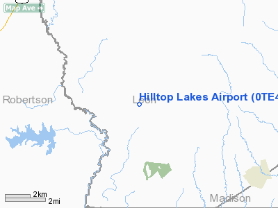
Location & QuickFacts
| FAA Information Effective: | 2008-09-25 |
| Airport Identifier: | 0TE4 |
| Airport Status: | Operational |
| Longitude/Latitude: | 096-12-54.8610W/31-04-51.6640N
-96.215239/31.081018 (Estimated) |
| Elevation: | 501 ft / 152.70 m (Estimated) |
| Land: | 60 acres |
| From nearest city: | 0 nautical miles NE of Hilltop Lakes, TX |
| Location: | Leon County, TX |
| Magnetic Variation: | 06E (1985) |
Owner & Manager
| Ownership: | Privately owned |
| Owner: | Hilltop Lakes Resort City |
| Address: | Po Box 1242
Hilltop Lakes, TX 77871 |
| Phone number: | 936-855-2222 |
| Address: |
|
Airport Operations and Facilities
| Airport Use: | Private |
| Wind indicator: | No |
| Segmented Circle: | Yes |
| Control Tower: | No |
| Landing fee charge: | No |
| Sectional chart: | Houston |
| Region: | ASW - Southwest |
| Boundary ARTCC: | ZHU - Houston |
| Tie-in FSS: | CXO - Montgomery County |
| FSS on Airport: | No |
| FSS Toll Free: | 1-800-WX-BRIEF
FOR FP FILING CALL CXO FSS 1-800-833-5602. |
Airport Services
| Airframe Repair: | NONE |
| Power Plant Repair: | NONE |
Runway Information
Runway 16/34
| Dimension: | 3000 x 40 ft / 914.4 x 12.2 m |
| Surface: | ASPH, |
| |
Runway 16 |
Runway 34 |
| Traffic Pattern: | Right | Left |
| Displaced threshold: | 350.00 ft | 300.00 ft |
| Obstruction: | 50 ft trees, 1000.0 ft from runway, 20:1 slope to clear | 20 ft bldg, 0.0 ft from runway, 55 ft right of centerline |
|
Radio Navigation Aids
| ID |
Type |
Name |
Ch |
Freq |
Var |
Dist |
| LXY | NDB | Mexia | | 329.00 | 07E | 36.9 nm |
| UTS | NDB | Huntsville | | 308.00 | 06E | 38.1 nm |
| PYF | NDB | Pyramid | | 418.00 | 06E | 47.0 nm |
| PSN | NDB | Palestine | | 375.00 | 04E | 49.6 nm |
| GNL | VOR/DME | Groesbeck | 025X | 108.80 | 05E | 34.6 nm |
| LOA | VORTAC | Leona | 045X | 110.80 | 08E | 13.0 nm |
| CLL | VORTAC | College Station | 080X | 113.30 | 08E | 30.5 nm |
| TNV | VORTAC | Navasota | 106X | 115.90 | 08E | 48.3 nm |
Remarks
- LARGE NR OF DEER IN AREA FROM DUSK TO DAWN.
Images and information placed above are from
http://www.airport-data.com/airport/0TE4/
We thank them for the data!
| General Info
|
| Country |
United States
|
| State |
TEXAS
|
| FAA ID |
0TE4
|
| Latitude |
31-04-51.664N
|
| Longitude |
096-12-54.861W
|
| Elevation |
501 feet
|
| Near City |
HILLTOP LAKES
|
We don't guarantee the information is fresh and accurate. The data may
be wrong or outdated.
For more up-to-date information please refer to other sources.
|
|


