 |
|
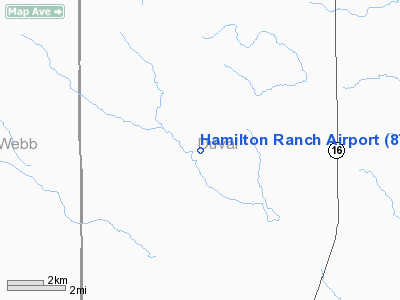
Location & QuickFacts
| FAA Information Effective: | 2008-09-25 |
| Airport Identifier: | 8TS0 |
| Airport Status: | Operational |
| Longitude/Latitude: | 098-43-56.0650W/27-33-11.1110N
-98.732240/27.553086 (Estimated) |
| Elevation: | 698 ft / 212.75 m (Estimated) |
| Land: | 8 acres |
| From nearest city: | 13 nautical miles SW of Bruni, TX |
| Location: | Duval County, TX |
| Magnetic Variation: | 07E (1985) |
Owner & Manager
| Ownership: | Privately owned |
| Owner: | G. B. Hamilton |
| Address: | Star Route
Bruni, TX 78344 |
| Phone number: | 512-747-5245 |
| Manager: | G.b.hamilton |
| Address: | Star Route
Bruni, TX 78344 |
| Phone number: | 512-747-5245 |
Airport Operations and Facilities
| Airport Use: | Private |
| Wind indicator: | Yes |
| Segmented Circle: | No |
| Control Tower: | No |
| Landing fee charge: | No |
| Sectional chart: | Brownsville |
| Region: | ASW - Southwest |
| Boundary ARTCC: | ZHU - Houston |
| Tie-in FSS: | SJT - San Angelo |
| FSS on Airport: | No |
| FSS Toll Free: | 1-800-WX-BRIEF |
Runway Information
Runway 17/35
| Dimension: | 3000 x 80 ft / 914.4 x 24.4 m |
| Surface: | GRAVEL, |
| |
Runway 17 |
Runway 35 |
| Traffic Pattern: | Left | Left |
| Obstruction: | | 25 ft pline, 860.0 ft from runway |
|
Radio Navigation Aids
| ID |
Type |
Name |
Ch |
Freq |
Var |
Dist |
| HBV | NDB | Hebbronville | | 266.00 | 06E | 12.0 nm |
| TKB | NDB | Kleberg County | | 347.00 | 06E | 34.6 nm |
| BKS | NDB | Brooks County | | 353.00 | 06E | 38.7 nm |
| NOG | TACAN | Orange Grove | 063X | | 09E | 42.1 nm |
| NQI | TACAN | Kingsville | 125X | | 09E | 49.5 nm |
| ALI | VOR | Alice | | 114.50 | 06E | 39.5 nm |
| NLD | VOR/DME | Nuevo Laredo | 073X | 112.60 | 09E | 45.1 nm |
| LRD | VORTAC | Laredo | 121X | 117.40 | 09E | 36.8 nm |
Images and information placed above are from
http://www.airport-data.com/airport/8TS0/
We thank them for the data!
| General Info
|
| Country |
United States
|
| State |
TEXAS
|
| FAA ID |
8TS0
|
| Latitude |
27-33-11.111N
|
| Longitude |
098-43-56.065W
|
| Elevation |
698 feet
|
| Near City |
BRUNI
|
We don't guarantee the information is fresh and accurate. The data may
be wrong or outdated.
For more up-to-date information please refer to other sources.
|
|


