 |
|
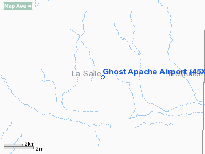
Location & QuickFacts
| FAA Information Effective: | 2008-09-25 |
| Airport Identifier: | 45XS |
| Airport Status: | Operational |
| Longitude/Latitude: | 098-54-46.5800W/28-08-25.0200N
-98.912939/28.140283 (Estimated) |
| Elevation: | 330 ft / 100.58 m (Estimated) |
| Land: | 200 acres |
| From nearest city: | 22 nautical miles NE of Cotulla, TX |
| Location: | La Salle County, TX |
| Magnetic Variation: | 06E (2000) |
Owner & Manager
| Ownership: | Privately owned |
| Owner: | Buckbriar, L.p. |
| Address: | Po Box 541208
Dallas, TX 75354-1208 |
| Phone number: | 214-902-2287
EXTENSION 1. |
| Manager: | Robert Dorazil |
| Address: | Po Box 541208
Dallas, TX 75354-1208 |
| Phone number: | 830-373-4477 |
Airport Operations and Facilities
| Airport Use: | Private |
| Wind indicator: | Yes |
| Segmented Circle: | No |
| Control Tower: | No |
| Sectional chart: | San Antonio |
| Region: | ASW - Southwest |
| Boundary ARTCC: | ZHU - Houston |
| Tie-in FSS: | SJT - San Angelo |
| FSS Toll Free: | 1-800-WX-BRIEF |
Airport Communications
Runway Information
Runway 10/28
| Dimension: | 3600 x 150 ft / 1097.3 x 45.7 m |
| Surface: | DIRT, |
| |
Runway 10 |
Runway 28 |
| Traffic Pattern: | Right | Left |
|
Radio Navigation Aids
| ID |
Type |
Name |
Ch |
Freq |
Var |
Dist |
| HBV | NDB | Hebbronville | | 266.00 | 06E | 48.1 nm |
| NOG | TACAN | Orange Grove | 063X | | 09E | 48.5 nm |
| COT | VORTAC | Cotulla | 105X | 115.80 | 09E | 22.2 nm |
| THX | VORTAC | Three Rivers | 051X | 111.40 | 08E | 45.9 nm |
| LRD | VORTAC | Laredo | 121X | 117.40 | 09E | 48.0 nm |
Images and information placed above are from
http://www.airport-data.com/airport/45XS/
We thank them for the data!
| General Info
|
| Country |
United States
|
| State |
TEXAS
|
| FAA ID |
45XS
|
| Latitude |
28-08-25.020N
|
| Longitude |
098-54-46.580W
|
| Elevation |
330 feet
|
| Near City |
COTULLA
|
We don't guarantee the information is fresh and accurate. The data may
be wrong or outdated.
For more up-to-date information please refer to other sources.
|
|


