 |
|
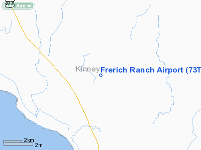
Location & QuickFacts
| FAA Information Effective: | 2008-09-25 |
| Airport Identifier: | 73TX |
| Airport Status: | Operational |
| Longitude/Latitude: | 100-38-31.3050W/29-10-18.8550N
-100.642029/29.171904 (Estimated) |
| Elevation: | 995 ft / 303.28 m (Estimated) |
| Land: | 14 acres |
| From nearest city: | 14 nautical miles SW of Brackettville, TX |
| Location: | Kinney County, TX |
| Magnetic Variation: | 08E (1985) |
Owner & Manager
| Ownership: | Privately owned |
| Owner: | Leo Frerich |
| Address: | Box 65
Brackettville, TX 78832 |
| Address: |
|
Airport Operations and Facilities
| Airport Use: | Private |
| Wind indicator: | Yes |
| Segmented Circle: | No |
| Control Tower: | No |
| Landing fee charge: | No |
| Sectional chart: | San Antonio |
| Region: | ASW - Southwest |
| Boundary ARTCC: | ZHU - Houston |
| Tie-in FSS: | SJT - San Angelo |
| FSS on Airport: | No |
| FSS Toll Free: | 1-800-WX-BRIEF |
Airport Services
| Airframe Repair: | NONE |
| Power Plant Repair: | NONE |
Runway Information
Runway 02/20
| Dimension: | 1345 x 115 ft / 410.0 x 35.1 m |
| Surface: | TURF, |
| |
Runway 02 |
Runway 20 |
| Traffic Pattern: | Left | Left |
|
Runway 11/29
| Dimension: | 1440 x 90 ft / 438.9 x 27.4 m |
| Surface: | TURF, |
| |
Runway 11 |
Runway 29 |
| Traffic Pattern: | Left | Left |
|
Radio Navigation Aids
| ID |
Type |
Name |
Ch |
Freq |
Var |
Dist |
| BRX | NDB | La Fonda Ranch | | 269.00 | 09E | 2.4 nm |
| PFO | NDB | Spofford | | 356.00 | 08E | 11.4 nm |
| CPZ | NDB | Chaparrosa Ranch | | 385.00 | 10E | 37.0 nm |
| LKX | NDB | La Pryor | | 223.00 | 09E | 43.8 nm |
| UVA | NDB | Uvalde | | 281.00 | 07E | 48.1 nm |
| DLF | VORTAC | Laughlin | 091X | 114.40 | 07E | 13.2 nm |
Remarks
- (E137-1) OWNER INDICATES PILOT LAND AT OWN RISK.
- PRE DATES THE ACT.
Images and information placed above are from
http://www.airport-data.com/airport/73TX/
We thank them for the data!
| General Info
|
| Country |
United States
|
| State |
TEXAS
|
| FAA ID |
73TX
|
| Latitude |
29-10-18.855N
|
| Longitude |
100-38-31.305W
|
| Elevation |
995 feet
|
| Near City |
BRACKETTVILLE
|
We don't guarantee the information is fresh and accurate. The data may
be wrong or outdated.
For more up-to-date information please refer to other sources.
|
|


