 |
|
Location & QuickFacts
| FAA Information Effective: | 2008-09-25 |
| Airport Identifier: | 2XS6 |
| Airport Status: | Operational |
| Longitude/Latitude: | 099-34-16.1820W/29-43-15.8060N
-99.571162/29.721057 (Estimated) |
| Elevation: | 1687 ft / 514.20 m (Estimated) |
| Land: | 0 acres |
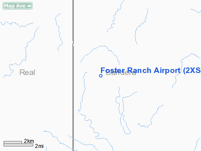
| From nearest city: | 7 nautical miles NW of Utopia, TX |
| Location: | Bandera County, TX |
| Magnetic Variation: | 08E (1985) |
Owner & Manager
| Ownership: | Privately owned |
| Owner: | Hoyt M Foster |
| Address: | Hc 1 Box 326
Utopia, TX 78884 |
| Phone number: | 210-966-3498 |
| Manager: | Hoyt M Foster |
| Address: | Hc-01
Utopia, TX 78884 |
| Phone number: | 210-966-3498 |
Airport Operations and Facilities
| Airport Use: | Private |
| Wind indicator: | Yes |
| Segmented Circle: | No |
| Control Tower: | No |
| Landing fee charge: | No |
| Sectional chart: | San Antonio |
| Region: | ASW - Southwest |
| Boundary ARTCC: | ZHU - Houston |
| Tie-in FSS: | SJT - San Angelo |
| FSS on Airport: | No |
| FSS Toll Free: | 1-800-WX-BRIEF |
Airport Services
| Airframe Repair: | NONE |
| Power Plant Repair: | NONE |
Runway Information
Runway 17/35
| Dimension: | 2150 x 45 ft / 655.3 x 13.7 m |
| Surface: | TURF, |
| |
Runway 17 |
Runway 35 |
| Traffic Pattern: | Right | Right |
| Displaced threshold: | 400.00 ft | 0.00 ft |
| Obstruction: | 70 ft pline, 800.0 ft from runway | 6 ft fence, 25.0 ft from runway |
|
Radio Navigation Aids
| ID |
Type |
Name |
Ch |
Freq |
Var |
Dist |
| HMA | NDB | Hondo | | 329.00 | 08E | 29.5 nm |
| ER | NDB | Shein | | 263.00 | 08E | 31.5 nm |
| UVA | NDB | Uvalde | | 281.00 | 07E | 33.6 nm |
| CVB | NDB | Castroville | | 338.00 | 08E | 44.0 nm |
| HHH | NDB | Devine | | 359.00 | 07E | 48.2 nm |
| LKX | NDB | La Pryor | | 223.00 | 09E | 49.8 nm |
| HDO | VOR/DME | Hondo | 31X | 109.40 | 08E | 30.4 nm |
| CSI | VORTAC | Center Point | 122X | 117.50 | 08E | 22.2 nm |
| RSG | VORTAC | Rocksprings | 049X | 111.20 | 10E | 41.9 nm |
Images and information placed above are from
http://www.airport-data.com/airport/2XS6/
We thank them for the data!
| General Info
|
| Country |
United States
|
| State |
TEXAS
|
| FAA ID |
2XS6
|
| Latitude |
29-43-15.806N
|
| Longitude |
099-34-16.182W
|
| Elevation |
1687 feet
|
| Near City |
UTOPIA
|
We don't guarantee the information is fresh and accurate. The data may
be wrong or outdated.
For more up-to-date information please refer to other sources.
|
|


