|
|
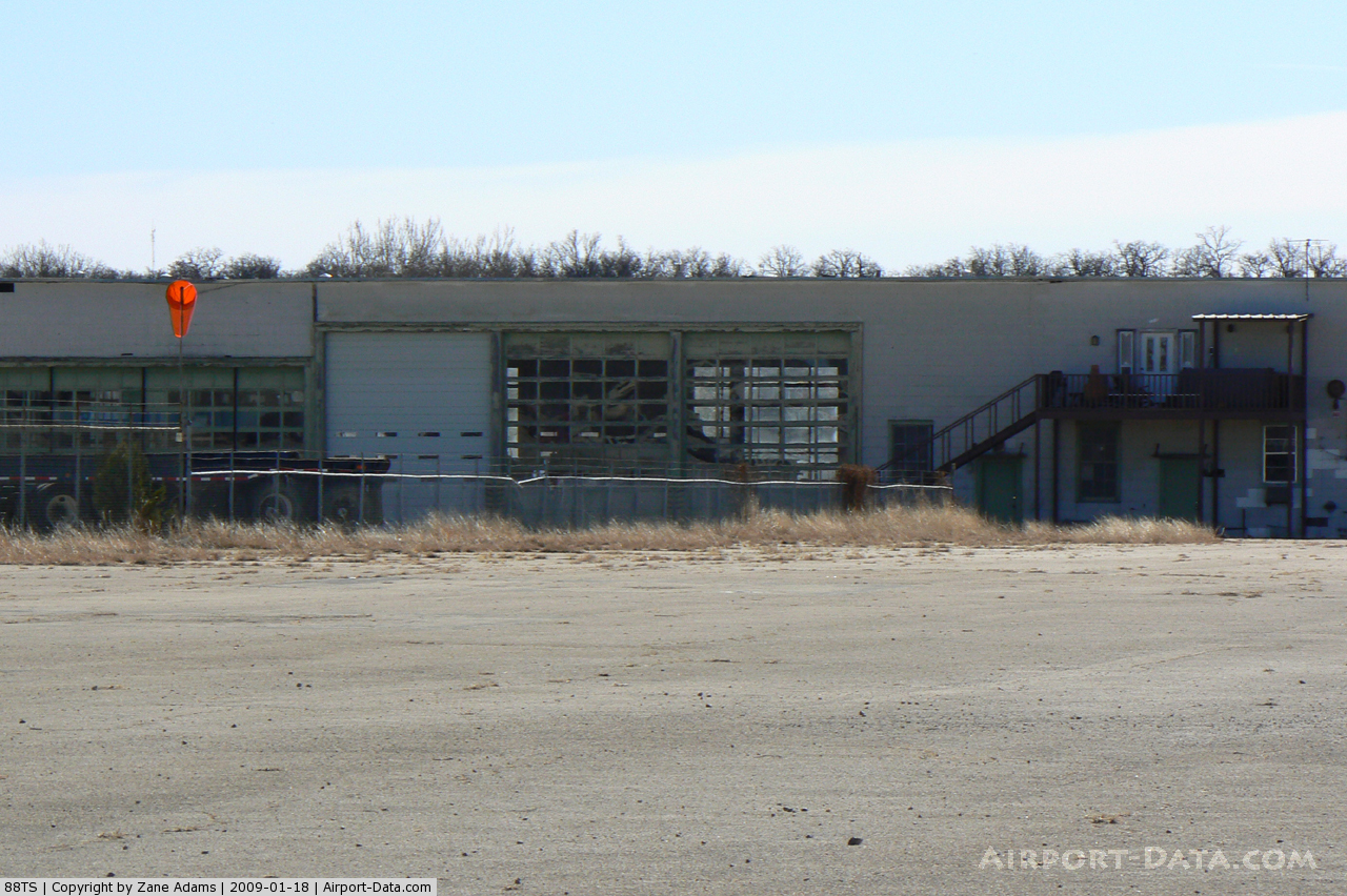
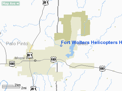
Fort Wolters Helicopters Heliport |
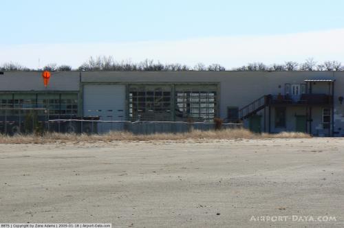 |
(Click on the photo to enlarge) |
Location & QuickFacts
| FAA Information Effective: | 2008-09-25 |
| Airport Identifier: | 88TS |
| Airport Status: | Operational |
| Longitude/Latitude: | 098-03-07.1540W/32-50-00.4560N
-98.051987/32.833460 (Estimated) |
| Elevation: | 887 ft / 270.36 m (Estimated) |
| Land: | 7 acres |
| From nearest city: | 3 nautical miles NE of Mineral Wells, TX |
| Location: | Palo Pinto County, TX |
| Magnetic Variation: | 07E (1985) |
Owner & Manager
| Ownership: | Privately owned |
| Owner: | Fort Wolters Helicopters |
| Address: | 517 Grant Road
Mineral Wells, TX 76067 |
| Phone number: | 940-325-5971 |
| Manager: | Pat Pockrus |
| Address: | 517 Grant Road
Mineral Wells, TX 76067 |
| Phone number: | 940-325-5971 |
Airport Operations and Facilities
| Airport Use: | Private |
| Wind indicator: | Yes |
| Segmented Circle: | No |
| Control Tower: | No |
| Sectional chart: | Dallas-ft Worth |
| Region: | ASW - Southwest |
| Boundary ARTCC: | ZFW - Fort Worth |
| Tie-in FSS: | FTW - Fort Worth |
| FSS Phone: | 817-541-3474 |
| FSS Toll Free: | 1-800-WX-BRIEF |
Runway Information
Helipad H1
| Dimension: | 600 x 600 ft / 182.9 x 182.9 m |
| Surface: | ASPH, |
| |
Runway H1 |
Runway |
| Traffic Pattern: | Left | Left |
|
Radio Navigation Aids
| ID |
Type |
Name |
Ch |
Freq |
Var |
Dist |
| MWL | NDB | Mineral Wells | | 266.00 | 06E | 2.9 nm |
| GZV | NDB | Brazos River | | 280.00 | 07E | 19.6 nm |
| GHX | NDB | Graham | | 371.00 | 07E | 30.0 nm |
| BKD | NDB | Breckenridge | | 245.00 | 07E | 42.7 nm |
| OIP | NDB | Old Rip | | 410.00 | 07E | 46.5 nm |
| GMZ | NDB | Grindstone Mountain | | 356.00 | 07E | 48.5 nm |
| ONY | NDB | Olney | | 272.00 | 07E | 49.5 nm |
| NFW | TACAN | Nas Jrb Fort Worth | 024X | | 07E | 31.2 nm |
| MQP | VORTAC | Millsap | 124X | 117.70 | 09E | 7.0 nm |
| JEN | VORTAC | Glen Rose | 097X | 115.00 | 06E | 41.5 nm |
| UKW | VORTAC | Bowie | 071X | 112.40 | 06E | 43.8 nm |
| FUZ | VORTAC | Ranger | 104X | 115.70 | 06E | 44.2 nm |
| FTW | VOT | Fort Worth Meacham | | 108.20 | | 35.0 nm |
Remarks
- VFR/PVT USE ONLY; WINDSOCK BE MAINTAINED; WARNING SIGNS ARE INSTALLED; APP/DEP PATHS ARE N & W OF PAD.
Images and information placed above are from
http://www.airport-data.com/airport/88TS/
We thank them for the data!
| General Info
|
| Country |
United States
|
| State |
TEXAS
|
| FAA ID |
88TS
|
| Latitude |
32-50-00.456N
|
| Longitude |
098-03-07.154W
|
| Elevation |
887 feet
|
| Near City |
MINERAL WELLS
|
We don't guarantee the information is fresh and accurate. The data may
be wrong or outdated.
For more up-to-date information please refer to other sources.
|
|