 |
|
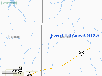
Location & QuickFacts
| FAA Information Effective: | 2008-09-25 |
| Airport Identifier: | 4TX3 |
| Airport Status: | Operational |
| Longitude/Latitude: | 095-50-00.8790W/33-39-40.3700N
-95.833578/33.661214 (Estimated) |
| Elevation: | 525 ft / 160.02 m (Estimated) |
| Land: | 142 acres |
| From nearest city: | 3 nautical miles NW of Petty, TX |
| Location: | Lamar County, TX |
| Magnetic Variation: | 06E (1985) |
Owner & Manager
| Ownership: | Privately owned |
| Owner: | Larry K. Brown |
| Address: | Rt 2 Box 57
Honey Grove, TX 75446 |
| Phone number: | 903-378-7076 |
| Manager: | Larry K. Brown |
| Address: | 1765 Cr 36080
Honey Grove, TX 75446-4600 |
| Phone number: | 903-378-7076 |
Airport Operations and Facilities
| Airport Use: | Private |
| Wind indicator: | Yes |
| Segmented Circle: | No |
| Control Tower: | No |
| Sectional chart: | Dallas-ft Worth |
| Region: | ASW - Southwest |
| Boundary ARTCC: | ZFW - Fort Worth |
| Tie-in FSS: | FTW - Fort Worth |
| FSS on Airport: | No |
| FSS Phone: | 817-541-3474 |
| FSS Toll Free: | 1-800-WX-BRIEF |
Runway Information
Runway 18/36
| Dimension: | 2450 x 60 ft / 746.8 x 18.3 m |
| Surface: | TURF, |
| |
Runway 18 |
Runway 36 |
| Traffic Pattern: | Left | Left |
| Obstruction: | 20 ft plines, 120.0 ft from runway | 5 ft plines, 60.0 ft from runway |
|
Radio Navigation Aids
| ID |
Type |
Name |
Ch |
Freq |
Var |
Dist |
| HJM | NDB | Rayburn | | 415.00 | 06E | 17.4 nm |
| HHW | NDB | Hugo | | 323.00 | 05E | 27.1 nm |
| DUA | NDB | Durant | | 359.00 | 05E | 32.9 nm |
| AEE | NDB | Antlers | | 391.00 | 05E | 33.2 nm |
| SYW | NDB | Cash | | 428.00 | 05E | 42.5 nm |
| MII | NDB | Caddo Mills | | 316.00 | 06E | 42.7 nm |
| DNI | NDB | Denison | | 341.00 | 06E | 42.9 nm |
| MJF | TACAN | Arvilla | 033X | | 05E | 37.5 nm |
| PRX | VOR/DME | Paris | 083X | 113.60 | 07E | 20.6 nm |
| SLR | VOR/DME | Sulphur Springs | 027X | 109.00 | 08E | 31.4 nm |
| URH | VOR/DME | Texoma | 090X | 114.30 | 05E | 32.7 nm |
| BYP | VORTAC | Bonham | 093X | 114.60 | 06E | 21.4 nm |
Images and information placed above are from
http://www.airport-data.com/airport/4TX3/
We thank them for the data!
| General Info
|
| Country |
United States
|
| State |
TEXAS
|
| FAA ID |
4TX3
|
| Latitude |
33-39-40.370N
|
| Longitude |
095-50-00.879W
|
| Elevation |
525 feet
|
| Near City |
PETTY
|
We don't guarantee the information is fresh and accurate. The data may
be wrong or outdated.
For more up-to-date information please refer to other sources.
|
|


