 |
|
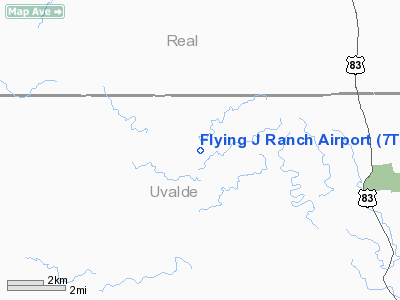
Location & QuickFacts
| FAA Information Effective: | 2008-09-25 |
| Airport Identifier: | 7TE4 |
| Airport Status: | Operational |
| Longitude/Latitude: | 099-50-43.2180W/29-35-48.8210N
-99.845338/29.596895 (Estimated) |
| Elevation: | 1620 ft / 493.78 m (Estimated) |
| Land: | 0 acres |
| From nearest city: | 9 nautical miles SW of Leakey, TX |
| Location: | Uvalde County, TX |
| Magnetic Variation: | 08E (1985) |
Owner & Manager
| Ownership: | Privately owned |
| Owner: | Jones Enterprises |
| Address: | P.o. Box 631123
Nacogdoches, TX 75963 |
| Phone number: | 409-564-7889 |
| Manager: | Jones Enterprises |
| Address: | Po Box 631123
Nacogdoches, TX 75963 |
| Phone number: | 409-564-7889 |
Airport Operations and Facilities
| Airport Use: | Private |
| Wind indicator: | Yes |
| Segmented Circle: | No |
| Control Tower: | No |
| Landing fee charge: | No |
| Sectional chart: | San Antonio |
| Region: | ASW - Southwest |
| Boundary ARTCC: | ZHU - Houston |
| Tie-in FSS: | SJT - San Angelo |
| FSS on Airport: | No |
| FSS Toll Free: | 1-800-WX-BRIEF |
Airport Services
| Airframe Repair: | NONE |
| Power Plant Repair: | NONE |
Runway Information
Runway 17/35
| Dimension: | 3000 x 60 ft / 914.4 x 18.3 m |
| Surface: | TURF, |
| |
Runway 17 |
Runway 35 |
| Traffic Pattern: | Left | Left |
|
Radio Navigation Aids
| ID |
Type |
Name |
Ch |
Freq |
Var |
Dist |
| UVA | NDB | Uvalde | | 281.00 | 07E | 26.0 nm |
| HMA | NDB | Hondo | | 329.00 | 08E | 37.7 nm |
| LKX | NDB | La Pryor | | 223.00 | 09E | 40.1 nm |
| PFO | NDB | Spofford | | 356.00 | 08E | 40.8 nm |
| CPZ | NDB | Chaparrosa Ranch | | 385.00 | 10E | 42.1 nm |
| BRX | NDB | La Fonda Ranch | | 269.00 | 09E | 47.0 nm |
| ER | NDB | Shein | | 263.00 | 08E | 47.6 nm |
| HDO | VOR/DME | Hondo | 31X | 109.40 | 08E | 38.0 nm |
| RSG | VORTAC | Rocksprings | 049X | 111.20 | 10E | 34.5 nm |
| CSI | VORTAC | Center Point | 122X | 117.50 | 08E | 38.3 nm |
Remarks
Images and information placed above are from
http://www.airport-data.com/airport/7TE4/
We thank them for the data!
| General Info
|
| Country |
United States
|
| State |
TEXAS
|
| FAA ID |
7TE4
|
| Latitude |
29-35-48.821N
|
| Longitude |
099-50-43.218W
|
| Elevation |
1620 feet
|
| Near City |
LEAKEY
|
We don't guarantee the information is fresh and accurate. The data may
be wrong or outdated.
For more up-to-date information please refer to other sources.
|
|


