 |
|
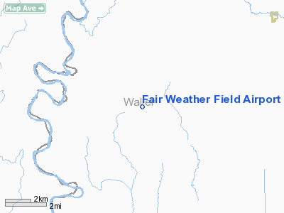
Fair Weather Field Airport |
Location & QuickFacts
| FAA Information Effective: | 2008-09-25 |
| Airport Identifier: | TX42 |
| Airport Status: | Operational |
| Longitude/Latitude: | 096-02-22.0000W/29-56-15.0000N
-96.039444/29.937500 (Estimated) |
| Elevation: | 175 ft / 53.34 m (Estimated) |
| Land: | 0 acres |
| From nearest city: | 1 nautical miles S of Monaville, TX |
| Location: | Waller County, TX |
| Magnetic Variation: | () |
Owner & Manager
| Ownership: | Privately owned |
| Owner: | Aviation Estates Ltd |
| Address: | Po Box 1418
Brookshire, TX 77423 |
| Phone number: | 281-702-3331 |
| Manager: | Leonard Firth |
| Address: | Po Box 1418
Brookshire, TX 77423 |
| Phone number: | 281-702-3331 |
Airport Operations and Facilities
| Airport Use: | Private |
| Wind indicator: | Yes |
| Control Tower: | No |
| Region: | ASW - Southwest |
| Boundary ARTCC: | ZHU - Houston |
| Tie-in FSS: | CXO - Montgomery County |
| FSS Toll Free: | 1-800-WX-BRIEF |
Runway Information
Runway 13/31
| Dimension: | 3500 x 100 ft / 1066.8 x 30.5 m |
| Surface: | TURF, |
| |
Runway 13 |
Runway 31 |
| Traffic Pattern: | Left | Left |
|
Radio Navigation Aids
| ID |
Type |
Name |
Ch |
Freq |
Var |
Dist |
| LYD | NDB | Lakeside | | 249.00 | 05E | 20.2 nm |
| EYQ | NDB | Weiser | | 286.00 | 06E | 20.8 nm |
| BNH | NDB | Brenham | | 362.00 | 06E | 24.4 nm |
| DWH | NDB | David Hooks | | 521.00 | 05E | 27.1 nm |
| SGR | NDB | Hull | | 388.00 | 05E | 27.1 nm |
| SYG | NDB | Sandy Point | | 402.00 | 05E | 39.7 nm |
| ARM | NDB | Wharton | | 245.00 | 06E | 41.5 nm |
| BVP | NDB | Nixin | | 326.00 | 05E | 43.1 nm |
| ELA | VOR/DME | Eagle Lake | 111X | 116.40 | 08E | 22.0 nm |
| HUB | VOR/DME | Hobby | 118X | 117.10 | 05E | 43.2 nm |
| TNV | VORTAC | Navasota | 106X | 115.90 | 08E | 21.1 nm |
| IDU | VORTAC | Industry | 039X | 110.20 | 08E | 27.2 nm |
| IAH | VORTAC | Humble | 113X | 116.60 | 05E | 36.1 nm |
| CLL | VORTAC | College Station | 080X | 113.30 | 08E | 44.7 nm |
| HOU | VOT | Houston Wm P Hobby | | 108.40 | | 43.4 nm |
Remarks
- PRVDD VFR OPNS, PVT USE. CLEAR 20:1 APCHS; MAINTAIN COMMUNICATIONS WITH 4TA4 AND LETTER OF AGREEMENT.
Images and information placed above are from
http://www.airport-data.com/airport/TX42/
We thank them for the data!
| General Info
|
| Country |
United States
|
| State |
TEXAS
|
| FAA ID |
TX42
|
| Latitude |
32-31-00.498N
|
| Longitude |
097-22-01.062W
|
| Elevation |
800 feet
|
| Near City |
BURLESON
|
We don't guarantee the information is fresh and accurate. The data may
be wrong or outdated.
For more up-to-date information please refer to other sources.
|
|


