 |
|
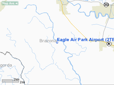
Location & QuickFacts
| FAA Information Effective: | 2008-09-25 |
| Airport Identifier: | 2TE0 |
| Airport Status: | Operational |
| Longitude/Latitude: | 095-34-46.8090W/28-58-55.8990N
-95.579669/28.982194 (Estimated) |
| Elevation: | 15 ft / 4.57 m (Estimated) |
| Land: | 16 acres |
| From nearest city: | 6 nautical miles SW of Brazoria, TX |
| Location: | Brazoria County, TX |
| Magnetic Variation: | 06E (1985) |
Owner & Manager
| Ownership: | Privately owned |
| Owner: | Eagle Civic Air Park,inc |
| Address: | 1117 N. Velasco
Angleton, TX 77515 |
| Phone number: | 979-849-1005 |
| Manager: | Joseph B. Ware |
| Address: | 1117 N. Velasco
Angleton, TX 77515 |
| Phone number: | 979-798-7189 |
Airport Operations and Facilities
| Airport Use: | Private |
| Wind indicator: | Yes |
| Segmented Circle: | Yes
NSTD SIZE; 10 FT. DIAMETER. |
| Control Tower: | No |
| Sectional chart: | Houston |
| Region: | ASW - Southwest |
| Boundary ARTCC: | ZHU - Houston |
| Tie-in FSS: | CXO - Montgomery County |
| FSS Toll Free: | 1-800-WX-BRIEF
FOR FP FILING CALL CXO FSS 1-800-833-5602 |
Runway Information
Runway 11/29
| Dimension: | 2700 x 140 ft / 823.0 x 42.7 m |
| Surface: | TURF, Good Condition |
| |
Runway 11 |
Runway 29 |
| Traffic Pattern: | Right | Left |
| Obstruction: | 15 ft road, 125 ft left of centerline | 4 ft fence, 0.0 ft from runway, 80 ft right of centerline |
|
Radio Navigation Aids
| ID |
Type |
Name |
Ch |
Freq |
Var |
Dist |
| BYY | NDB | Bay City | | 344.00 | 06E | 14.7 nm |
| SYG | NDB | Sandy Point | | 402.00 | 05E | 31.8 nm |
| ARM | NDB | Wharton | | 245.00 | 06E | 34.2 nm |
| SGR | NDB | Hull | | 388.00 | 05E | 39.3 nm |
| GLS | NDB | Galveston | | 206.00 | 08E | 48.1 nm |
| JPA | NDB | Sanjac | | 347.00 | 05E | 49.1 nm |
| EFD | TACAN | Ellington | 031X | | 05E | 43.5 nm |
| HUB | VOR/DME | Hobby | 118X | 117.10 | 05E | 43.5 nm |
| PSX | VORTAC | Palacios | 120X | 117.30 | 08E | 40.4 nm |
| VUH | VORTAC | Scholes | 077X | 113.00 | 06E | 41.2 nm |
| HOU | VOT | Houston Wm P Hobby | | 108.40 | | 42.9 nm |
Images and information placed above are from
http://www.airport-data.com/airport/2TE0/
We thank them for the data!
| General Info
|
| Country |
United States
|
| State |
TEXAS
|
| FAA ID |
2TE0
|
| Latitude |
28-58-55.899N
|
| Longitude |
095-34-46.809W
|
| Elevation |
15 feet
|
| Near City |
BRAZORIA
|
We don't guarantee the information is fresh and accurate. The data may
be wrong or outdated.
For more up-to-date information please refer to other sources.
|
|


