 |
|
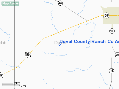
Duval County Ranch Co Airport |
Location & QuickFacts
| FAA Information Effective: | 2008-09-25 |
| Airport Identifier: | 28TA |
| Airport Status: | Operational |
| Longitude/Latitude: | 098-43-01.0630W/27-50-01.0730N
-98.716962/27.833631 (Estimated) |
| Elevation: | 665 ft / 202.69 m (Estimated) |
| Land: | 0 acres |
| From nearest city: | 6 nautical miles SW of Freer, TX |
| Location: | Duval County, TX |
| Magnetic Variation: | 07E (1985) |
Owner & Manager
| Ownership: | Privately owned |
| Owner: | Clinton Manges |
| Address: | Box 570
Freer, TX 78357 |
| Phone number: | 512-394-6341 |
| Manager: | Jack Damron |
| Address: | Box 570
Freer, TX 78357 |
| Phone number: | 512-394-7386 |
Airport Operations and Facilities
| Airport Use: | Private |
| Wind indicator: | Yes |
| Segmented Circle: | No |
| Control Tower: | No |
| Landing fee charge: | No |
| Sectional chart: | Brownsville |
| Region: | ASW - Southwest |
| Boundary ARTCC: | ZHU - Houston |
| Tie-in FSS: | SJT - San Angelo |
| FSS on Airport: | No |
| FSS Toll Free: | 1-800-WX-BRIEF |
Airport Communications
Runway Information
Runway 14/32
| Dimension: | 10280 x 34 ft / 3133.3 x 10.4 m |
| Surface: | ASPH, |
| |
Runway 14 |
Runway 32 |
| Traffic Pattern: | Left | Left |
| Obstruction: | 50 ft pline, 1000.0 ft from runway | |
|
Radio Navigation Aids
| ID |
Type |
Name |
Ch |
Freq |
Var |
Dist |
| HBV | NDB | Hebbronville | | 266.00 | 06E | 28.9 nm |
| TKB | NDB | Kleberg County | | 347.00 | 06E | 36.3 nm |
| BKS | NDB | Brooks County | | 353.00 | 06E | 49.3 nm |
| NOG | TACAN | Orange Grove | 063X | | 09E | 36.0 nm |
| ALI | VOR | Alice | | 114.50 | 06E | 37.4 nm |
| LRD | VORTAC | Laredo | 121X | 117.40 | 09E | 43.0 nm |
| COT | VORTAC | Cotulla | 105X | 115.80 | 09E | 43.4 nm |
Remarks
- RWY 14/32 ALSO SERVES AS RANCH ROAD.
Images and information placed above are from
http://www.airport-data.com/airport/28TA/
We thank them for the data!
| General Info
|
| Country |
United States
|
| State |
TEXAS
|
| FAA ID |
28TA
|
| Latitude |
27-50-01.073N
|
| Longitude |
098-43-01.063W
|
| Elevation |
665 feet
|
| Near City |
FREER
|
We don't guarantee the information is fresh and accurate. The data may
be wrong or outdated.
For more up-to-date information please refer to other sources.
|
|


