 |
|
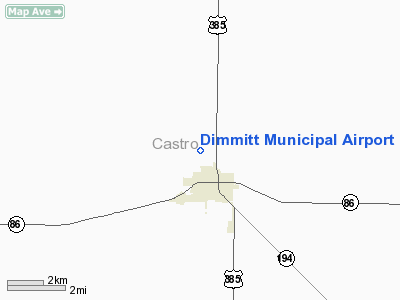
Location & QuickFacts
| FAA Information Effective: | 2008-09-25 |
| Airport Identifier: | T55 |
| Airport Status: | Operational |
| Longitude/Latitude: | 102-19-21.7010W/34-34-00.2480N
-102.322695/34.566736 (Estimated) |
| Elevation: | 3883 ft / 1183.54 m (Estimated) |
| Land: | 87 acres |
| From nearest city: | 2 nautical miles N of Dimmitt, TX |
| Location: | Castro County, TX |
| Magnetic Variation: | 09E (1985) |
Owner & Manager
| Ownership: | Publicly owned |
| Owner: | City Of Dimmitt |
| Address: | Box 146
Dimmitt, TX 79027 |
| Phone number: | 806-647-2155 |
| Manager: | David Denman
CITY MGR. |
| Address: | Box 146
Dimmitt, TX 79027 |
| Phone number: | 806-647-2155 |
Airport Operations and Facilities
| Airport Use: | Open to public |
| Wind indicator: | Yes |
| Segmented Circle: | Yes |
| Control Tower: | No |
| Lighting Schedule: | DUSK-DAWN
ACTVT MIRL RY 01/19 - CTAF. |
| Beacon Color: | Clear-Green (lighted land airport) |
| Landing fee charge: | No |
| Sectional chart: | Albuquerque |
| Region: | ASW - Southwest |
| Boundary ARTCC: | ZAB - Albuquerque |
| Tie-in FSS: | FTW - Fort Worth |
| FSS on Airport: | No |
| FSS Phone: | 817-541-3474 |
| FSS Toll Free: | 1-800-WX-BRIEF |
| NOTAMs Facility: | FTW (NOTAM-d service avaliable) |
| Federal Agreements: | NGY |
Airport Communications
Airport Services
Runway Information
Runway 01/19
| Dimension: | 5500 x 60 ft / 1676.4 x 18.3 m |
| Surface: | ASPH, Good Condition |
| Weight Limit: | Single wheel: 15000 lbs. |
| Edge Lights: | Medium |
| |
Runway 01 |
Runway 19 |
| Traffic Pattern: | Left | Right |
| Markings: | Non-precision instrument, Good Condition | Non-precision instrument, Good Condition |
| Obstruction: | 38 ft tree, 924.0 ft from runway, 120 ft right of centerline, 18:1 slope to clear
PLINE 160' LEFT OF EXTDD CNTRLN. | 17 ft road, 550.0 ft from runway, 160 ft right of centerline, 20:1 slope to clear |
|
Radio Navigation Aids
| ID |
Type |
Name |
Ch |
Freq |
Var |
Dist |
| HRX | NDB | Hereford | | 341.00 | 09E | 17.4 nm |
| LIU | NDB | Littlefield | | 212.00 | 10E | 39.1 nm |
| AM | NDB | Pande | | 251.00 | 09E | 43.2 nm |
| PVW | VOR/DME | Plainview | 076X | 112.90 | 11E | 39.2 nm |
| TXO | VORTAC | Texico | 059X | 112.20 | 11E | 26.0 nm |
Images and information placed above are from
http://www.airport-data.com/airport/T55/
We thank them for the data!
| General Info
|
| Country |
United States
|
| State |
TEXAS
|
| FAA ID |
T55
|
| Time |
UTC-6(-5DT)
|
| Latitude |
34.566736
34° 34' 00.25" N
|
| Longitude |
-102.322694
102° 19' 21.70" W
|
| Elevation |
3883 feet
1184 meters
|
| Magnetic Variation |
007° E (01/06)
|
| Beacon |
Yes
|
| Operating Agency |
U.S.CIVIL AIRPORT WHEREIN PERMIT COVERS USE BY TRANSIT MILITARY AIRCRAFT
|
| Operating Hours |
SEE REMARKS FOR OPERATING HOURS OR COMMUNICATIONS FOR POSSIBLE HOURS
|
| Daylight Saving Time |
Second Sunday in March at 0200 to first Sunday in November at 0200 local time (Exception Arizona and that portion of Indiana in the Eastern Time Zone)
|
We don't guarantee the information is fresh and accurate. The data may
be wrong or outdated.
For more up-to-date information please refer to other sources.
|
|


