 |
|
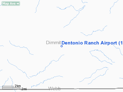
Location & QuickFacts
| FAA Information Effective: | 2008-09-25 |
| Airport Identifier: | 1TS6 |
| Airport Status: | Operational |
| Longitude/Latitude: | 099-56-04.2010W/28-16-09.9760N
-99.934500/28.269438 (Estimated) |
| Elevation: | 825 ft / 251.46 m (Estimated) |
| Land: | 0 acres |
| From nearest city: | 15 nautical miles S of Carrizo Springs, TX |
| Location: | Dimmit County, TX |
| Magnetic Variation: | 08E (1990) |
Owner & Manager
| Ownership: | Privately owned |
| Owner: | Wallace Rogers, Jr |
| Address: | 200 Geneseo Road
San Antonio, TX 78209 |
| Phone number: | 210-826-4704 |
| Manager: | Wallace Rogers, Jr |
| Address: | 200 Geneseo Road
San Antonio, TX 78209 |
| Phone number: | 210-826-4704 |
Airport Operations and Facilities
| Airport Use: | Private |
| Wind indicator: | Yes |
| Segmented Circle: | No |
| Control Tower: | No |
| Sectional chart: | San Antonio |
| Region: | ASW - Southwest |
| Boundary ARTCC: | ZHU - Houston |
| Tie-in FSS: | SJT - San Angelo |
| FSS on Airport: | No |
| FSS Toll Free: | 1-800-WX-BRIEF |
Runway Information
Runway 13/31
| Dimension: | 4000 x 50 ft / 1219.2 x 15.2 m |
| Surface: | GRVL-TRTD, |
| |
Runway 13 |
Runway 31 |
| Traffic Pattern: | Left | Left |
|
Radio Navigation Aids
| ID |
Type |
Name |
Ch |
Freq |
Var |
Dist |
| DMD | NDB | Dimmit County | | 343.00 | 07E | 16.2 nm |
| CPZ | NDB | Chaparrosa Ranch | | 385.00 | 10E | 38.7 nm |
| LKX | NDB | La Pryor | | 223.00 | 09E | 39.9 nm |
| COT | VORTAC | Cotulla | 105X | 115.80 | 09E | 44.7 nm |
Images and information placed above are from
http://www.airport-data.com/airport/1TS6/
We thank them for the data!
| General Info
|
| Country |
United States
|
| State |
TEXAS
|
| FAA ID |
1TS6
|
| Latitude |
28-16-09.976N
|
| Longitude |
099-56-04.201W
|
| Elevation |
825 feet
|
| Near City |
CARRIZO SPRINGS
|
We don't guarantee the information is fresh and accurate. The data may
be wrong or outdated.
For more up-to-date information please refer to other sources.
|
|


