 |
|
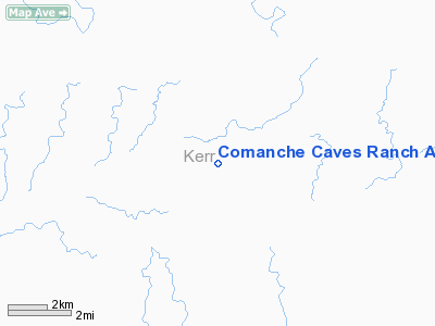
Comanche Caves Ranch Airport |
Location & QuickFacts
| FAA Information Effective: | 2008-09-25 |
| Airport Identifier: | 4TA6 |
| Airport Status: | Operational |
| Longitude/Latitude: | 099-23-01.1660W/30-01-20.7590N
-99.383657/30.022433 (Estimated) |
| Elevation: | 2000 ft / 609.60 m (Estimated) |
| Land: | 2050 acres |
| From nearest city: | 3 nautical miles SW of Hunt, TX |
| Location: | Kerr County, TX |
| Magnetic Variation: | 08E (1985) |
Owner & Manager
| Ownership: | Privately owned |
| Owner: | Comanche Caves Ranch
COMANCHE CAVES RANCHOWNER'S ASSOC. |
| Address: | Route 2, Box 241-c
Hunt, TX 78024 |
| Phone number: | 210-238-4915 |
| Manager: | Ralph H Geiwitz |
| Address: | Route 2, Box 241-c
Hunt, TX 78024 |
| Phone number: | 210-238-4915 |
Airport Operations and Facilities
| Airport Use: | Private |
| Wind indicator: | Yes |
| Segmented Circle: | No |
| Control Tower: | No |
| Landing fee charge: | No |
| Sectional chart: | San Antonio |
| Region: | ASW - Southwest |
| Boundary ARTCC: | ZHU - Houston |
| Tie-in FSS: | SJT - San Angelo |
| FSS on Airport: | No |
| FSS Toll Free: | 1-800-WX-BRIEF |
Runway Information
Runway 15/33
| Dimension: | 3000 x 60 ft / 914.4 x 18.3 m |
| Surface: | ASPH, |
| |
Runway 15 |
Runway 33 |
| Traffic Pattern: | Left | Left |
|
Radio Navigation Aids
| ID |
Type |
Name |
Ch |
Freq |
Var |
Dist |
| ER | NDB | Shein | | 263.00 | 08E | 20.5 nm |
| HMA | NDB | Hondo | | 329.00 | 08E | 40.5 nm |
| CVB | NDB | Castroville | | 338.00 | 08E | 49.3 nm |
| HDO | VOR/DME | Hondo | 31X | 109.40 | 08E | 41.9 nm |
| CSI | VORTAC | Center Point | 122X | 117.50 | 08E | 10.7 nm |
| STV | VORTAC | Stonewall | 085X | 113.80 | 08E | 36.9 nm |
| JCT | VORTAC | Junction | 107X | 116.00 | 08E | 41.3 nm |
| RSG | VORTAC | Rocksprings | 049X | 111.20 | 10E | 47.7 nm |
Images and information placed above are from
http://www.airport-data.com/airport/4TA6/
We thank them for the data!
| General Info
|
| Country |
United States
|
| State |
TEXAS
|
| FAA ID |
4TA6
|
| Latitude |
30-01-20.759N
|
| Longitude |
099-23-01.166W
|
| Elevation |
2000 feet
|
| Near City |
HUNT
|
We don't guarantee the information is fresh and accurate. The data may
be wrong or outdated.
For more up-to-date information please refer to other sources.
|
|


