 |
|
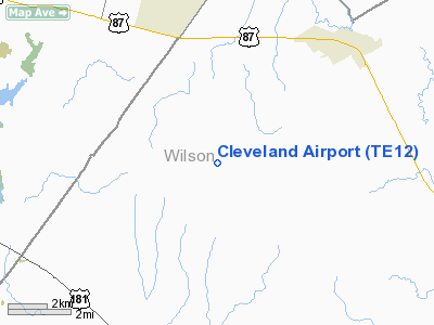
Location & QuickFacts
| FAA Information Effective: | 2008-09-25 |
| Airport Identifier: | TE12 |
| Airport Status: | Operational |
| Longitude/Latitude: | 098-11-01.0330W/29-18-00.8590N
-98.183620/29.300239 (Estimated) |
| Elevation: | 600 ft / 182.88 m (Estimated) |
| Land: | 0 acres |
| From nearest city: | 5 nautical miles SW of La Vernia, TX |
| Location: | Wilson County, TX |
| Magnetic Variation: | 07E (1985) |
Owner & Manager
| Ownership: | Privately owned |
| Owner: | James H Cleveland |
| Address: | 3023 Letitia Lane
San Antonio, TX 78217 |
| Phone number: | 512-822-3509 |
| Address: |
|
Airport Operations and Facilities
| Airport Use: | Private |
| Segmented Circle: | No |
| Control Tower: | No |
| Sectional chart: | San Antonio |
| Region: | ASW - Southwest |
| Boundary ARTCC: | ZHU - Houston |
| Tie-in FSS: | SJT - San Angelo |
| FSS Toll Free: | 1-800-WX-BRIEF |
Runway Information
Runway 18/36
| Dimension: | 3000 x 50 ft / 914.4 x 15.2 m |
| Surface: | TURF, |
| |
Runway 18 |
Runway 36 |
| Traffic Pattern: | Left | Left |
|
Radio Navigation Aids
| ID |
Type |
Name |
Ch |
Freq |
Var |
Dist |
| PEZ | NDB | Pleasanton | | 275.00 | 07E | 27.2 nm |
| CVB | NDB | Castroville | | 338.00 | 08E | 35.0 nm |
| HHH | NDB | Devine | | 359.00 | 07E | 40.8 nm |
| DHK | TACAN | Randolph | 036X | | 09E | 14.9 nm |
| KSY | TACAN | Kelly | 057X | | 07E | 21.5 nm |
| SSF | VOR | Stinson | | 108.40 | 09E | 13.9 nm |
| RND | VORTAC | Randolph | 70X | 112.30 | 09E | 14.2 nm |
| SAT | VORTAC | San Antonio | 115X | 116.80 | 08E | 25.3 nm |
| THX | VORTAC | Three Rivers | 051X | 111.40 | 08E | 47.8 nm |
| SAT | VOT | San Antonio Intl | | 110.40 | | 20.5 nm |
Images and information placed above are from
http://www.airport-data.com/airport/TE12/
We thank them for the data!
| General Info
|
| Country |
United States
|
| State |
TEXAS
|
| FAA ID |
TE12
|
| Latitude |
29-18-00.859N
|
| Longitude |
098-11-01.033W
|
| Elevation |
600 feet
|
| Near City |
LA VERNIA
|
We don't guarantee the information is fresh and accurate. The data may
be wrong or outdated.
For more up-to-date information please refer to other sources.
|
|


