 |
|
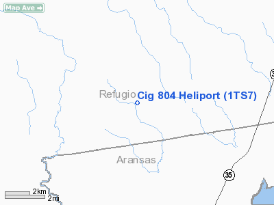
Location & QuickFacts
| FAA Information Effective: | 2008-09-25 |
| Airport Identifier: | 1TS7 |
| Airport Status: | Operational |
| Longitude/Latitude: | 097-02-43.9660W/28-18-49.0190N
-97.045546/28.313616 (Estimated) |
| Elevation: | 24 ft / 7.32 m (Estimated) |
| Land: | 0 acres |
| From nearest city: | 13 nautical miles E of Refugio, TX |
| Location: | Refugio County, TX |
| Magnetic Variation: | 06E (1990) |
Owner & Manager
| Ownership: | Privately owned |
| Owner: | Channel Industries Gas |
| Address: | 15415 Katy Freeway, Suite 100
Houston, TX 77094 |
| Phone number: | 713-578-4813 |
| Manager: | W.c. Byerly |
| Address: | 15415 Katy Freeway, Suite 100
Houston, TX 77094 |
| Phone number: | 713-578-4813 |
Airport Operations and Facilities
| Airport Use: | Private |
| Segmented Circle: | No |
| Control Tower: | No |
| Sectional chart: | San Antonio |
| Region: | ASW - Southwest |
| Boundary ARTCC: | ZHU - Houston |
| Tie-in FSS: | SJT - San Angelo |
| FSS on Airport: | No |
| FSS Toll Free: | 1-800-WX-BRIEF |
Runway Information
Helipad H1
| Dimension: | 30 x 30 ft / 9.1 x 9.1 m |
| Surface: | TURF, |
| |
Runway H1 |
Runway |
| Traffic Pattern: | Left | Left |
|
Radio Navigation Aids
| ID |
Type |
Name |
Ch |
Freq |
Var |
Dist |
| MNO | NDB | Mellon Ranch | | 375.00 | 06E | 8.7 nm |
| RKP | NDB | Rockport | | 391.00 | 06E | 13.4 nm |
| PKV | NDB | Port Lavaca | | 515.00 | 05E | 27.9 nm |
| BEA | NDB | Beeville | | 284.00 | 07E | 39.8 nm |
| VCT | VOR/DME | Victoria | 027X | 109.00 | 06E | 35.4 nm |
| CRP | VORTAC | Corpus Christi | 102X | 115.50 | 09E | 32.5 nm |
| NGP | VORTAC | Truax | 087X | 114.00 | 06E | 40.0 nm |
| PSX | VORTAC | Palacios | 120X | 117.30 | 08E | 47.5 nm |
Remarks
- PRVDD THAT HELIPORT USED DALGT VFR; CABLE & POWERLINES MKD WITH SPHERICAL MARKERS AND MAINTAIN WIND INDICATOR.
Images and information placed above are from
http://www.airport-data.com/airport/1TS7/
We thank them for the data!
| General Info
|
| Country |
United States
|
| State |
TEXAS
|
| FAA ID |
1TS7
|
| Latitude |
28-18-49.019N
|
| Longitude |
097-02-43.966W
|
| Elevation |
24 feet
|
| Near City |
REFUGIO
|
We don't guarantee the information is fresh and accurate. The data may
be wrong or outdated.
For more up-to-date information please refer to other sources.
|
|


