 |
|
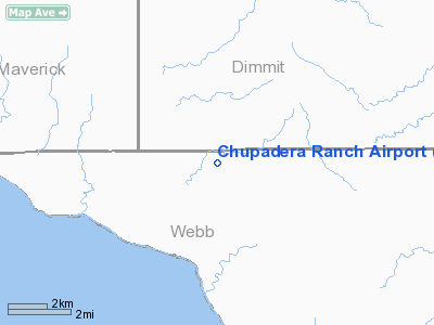
Location & QuickFacts
| FAA Information Effective: | 2008-09-25 |
| Airport Identifier: | 95TX |
| Airport Status: | Operational |
| Longitude/Latitude: | 100-04-20.2150W/28-11-32.9820N
-100.072282/28.192495 (Estimated) |
| Elevation: | 651 ft / 198.42 m (Surveyed) |
| Land: | 70 acres |
| From nearest city: | 26 nautical miles SW of Carrizo Springs, TX |
| Location: | Webb County, TX |
| Magnetic Variation: | 08E (1985) |
Owner & Manager
| Ownership: | Privately owned |
| Owner: | Briscoe Ranch |
| Address: | P.o. Box 389
Uvalde, TX 78801 |
| Phone number: | 512-278-9171 |
| Manager: | Chupadera Ranch |
| Address: | P.o. Box 389
Uvalde, TX 78801 |
| Phone number: | 512-278-9171 |
Airport Operations and Facilities
| Airport Use: | Private |
| Wind indicator: | No |
| Segmented Circle: | No |
| Control Tower: | No |
| Landing fee charge: | No |
| Sectional chart: | San Antonio |
| Region: | ASW - Southwest |
| Boundary ARTCC: | ZHU - Houston |
| Tie-in FSS: | SJT - San Angelo |
| FSS on Airport: | No |
| FSS Toll Free: | 1-800-WX-BRIEF |
Airport Services
| Airframe Repair: | NONE |
| Power Plant Repair: | NONE |
Runway Information
Runway N/S
| Dimension: | 4000 x 75 ft / 1219.2 x 22.9 m |
| Surface: | ASPH, |
| |
Runway N |
Runway S |
| Traffic Pattern: | Left | Left |
|
Radio Navigation Aids
| ID |
Type |
Name |
Ch |
Freq |
Var |
Dist |
| DMD | NDB | Dimmit County | | 343.00 | 07E | 23.7 nm |
| CPZ | NDB | Chaparrosa Ranch | | 385.00 | 10E | 43.3 nm |
| LKX | NDB | La Pryor | | 223.00 | 09E | 45.8 nm |
Images and information placed above are from
http://www.airport-data.com/airport/95TX/
We thank them for the data!
| General Info
|
| Country |
United States
|
| State |
TEXAS
|
| FAA ID |
95TX
|
| Latitude |
28-11-32.982N
|
| Longitude |
100-04-20.215W
|
| Elevation |
651 feet
|
| Near City |
CARRIZO SPRINGS
|
We don't guarantee the information is fresh and accurate. The data may
be wrong or outdated.
For more up-to-date information please refer to other sources.
|
|


