 |
|
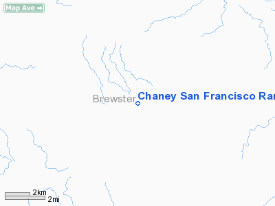
Chaney San Francisco Ranch Airport |
Location & QuickFacts
| FAA Information Effective: | 2008-09-25 |
| Airport Identifier: | 92TE |
| Airport Status: | Operational |
| Longitude/Latitude: | 102-56-01.5870W/29-58-00.6750N
-102.933774/29.966854 (Estimated) |
| Elevation: | 3250 ft / 990.60 m (Estimated) |
| Land: | 0 acres |
| From nearest city: | 30 nautical miles SE of Marathon, TX |
| Location: | Brewster County, TX |
| Magnetic Variation: | 09E (1985) |
Owner & Manager
| Ownership: | Privately owned |
| Owner: | San Fran. Ranch Ptnrs, Ltd. |
| Address: | Three Riverway Suite 2010
Houston, TX 77056 |
| Phone number: | 713-993-7050 |
| Manager: | Frank A. Wojtek |
| Address: | San Francisco Ranch
Marathon, TX 79842 |
| Phone number: | 915-345-2345 |
Airport Operations and Facilities
| Airport Use: | Private |
| Wind indicator: | No |
| Segmented Circle: | No |
| Control Tower: | No |
| Landing fee charge: | No |
| Sectional chart: | San Antonio |
| Region: | ASW - Southwest |
| Boundary ARTCC: | ZAB - Albuquerque |
| Tie-in FSS: | SJT - San Angelo |
| FSS on Airport: | No |
| FSS Toll Free: | 1-800-WX-BRIEF |
Airport Services
| Airframe Repair: | NONE |
| Power Plant Repair: | NONE |
Runway Information
Runway E/W
| Dimension: | 2650 x 75 ft / 807.7 x 22.9 m |
| Surface: | DIRT, |
| |
Runway E |
Runway W |
| Traffic Pattern: | Left | Left |
|
Radio Navigation Aids
| ID |
Type |
Name |
Ch |
Freq |
Var |
Dist |
| IMP | NDB | Marathon | | 388.00 | 10E | 23.8 nm |
| BWR | NDB | Brewster County | | 412.00 | 09E | 47.4 nm |
Images and information placed above are from
http://www.airport-data.com/airport/92TE/
We thank them for the data!
| General Info
|
| Country |
United States
|
| State |
TEXAS
|
| FAA ID |
92TE
|
| Latitude |
29-58-00.675N
|
| Longitude |
102-56-01.587W
|
| Elevation |
3250 feet
|
| Near City |
MARATHON
|
We don't guarantee the information is fresh and accurate. The data may
be wrong or outdated.
For more up-to-date information please refer to other sources.
|
|


