 |
|
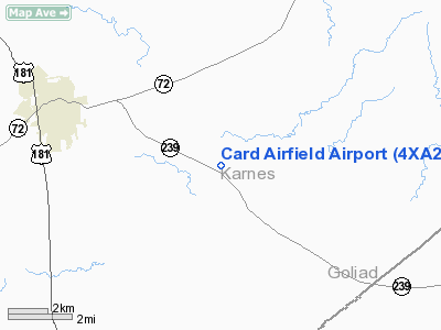
Location & QuickFacts
| FAA Information Effective: | 2008-09-25 |
| Airport Identifier: | 4XA2 |
| Airport Status: | Operational |
| Longitude/Latitude: | 097-45-48.2000W/28-47-21.0000N
-97.763389/28.789167 (Estimated) |
| Elevation: | 320 ft / 97.54 m (Estimated) |
| Land: | 0 acres |
| From nearest city: | 5 nautical miles E of Kenedy, TX |
| Location: | Karnes County, TX |
| Magnetic Variation: | () |
Owner & Manager
| Ownership: | Privately owned |
| Owner: | Robert & Ronald Card |
| Address: | 2403 Cr 126
Kenedy, TX 78119 |
| Phone number: | 830-583-9584 |
| Manager: | Robert & Ronald Card |
| Address: | 2403 Cr 126
Kenedy, TX 78119 |
| Phone number: | 830-583-9584 |
Airport Operations and Facilities
| Airport Use: | Private |
| Wind indicator: | Yes |
| Control Tower: | No |
| Sectional chart: | Houston |
| Region: | ASW - Southwest |
| Boundary ARTCC: | ZHU - Houston |
| Tie-in FSS: | SJT - San Angelo |
| FSS Toll Free: | 1-800-WX-BRIEF |
Runway Information
Runway 13/31
| Dimension: | 2400 x 100 ft / 731.5 x 30.5 m |
| Surface: | TURF, |
| |
Runway 13 |
Runway 31 |
| Traffic Pattern: | Left | Left |
|
Radio Navigation Aids
| ID |
Type |
Name |
Ch |
Freq |
Var |
Dist |
| BEA | NDB | Beeville | | 284.00 | 07E | 25.3 nm |
| PEZ | NDB | Pleasanton | | 275.00 | 07E | 41.0 nm |
| MNO | NDB | Mellon Ranch | | 375.00 | 06E | 42.5 nm |
| OKT | NDB | Yoakum | | 350.00 | 06E | 45.4 nm |
| SSF | VOR | Stinson | | 108.40 | 09E | 45.5 nm |
| VCT | VOR/DME | Victoria | 027X | 109.00 | 06E | 41.8 nm |
| THX | VORTAC | Three Rivers | 051X | 111.40 | 08E | 26.6 nm |
Remarks
- 75 FT PLINE .75 NM N & 260 FT TWR 1.75 NM S OF ARPT.
Images and information placed above are from
http://www.airport-data.com/airport/4XA2/
We thank them for the data!
|
|


