|
|
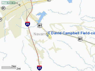
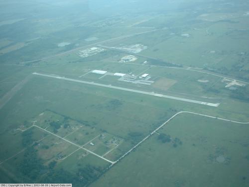
C David Campbell Field-corsicana Muni Airport |
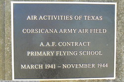 |
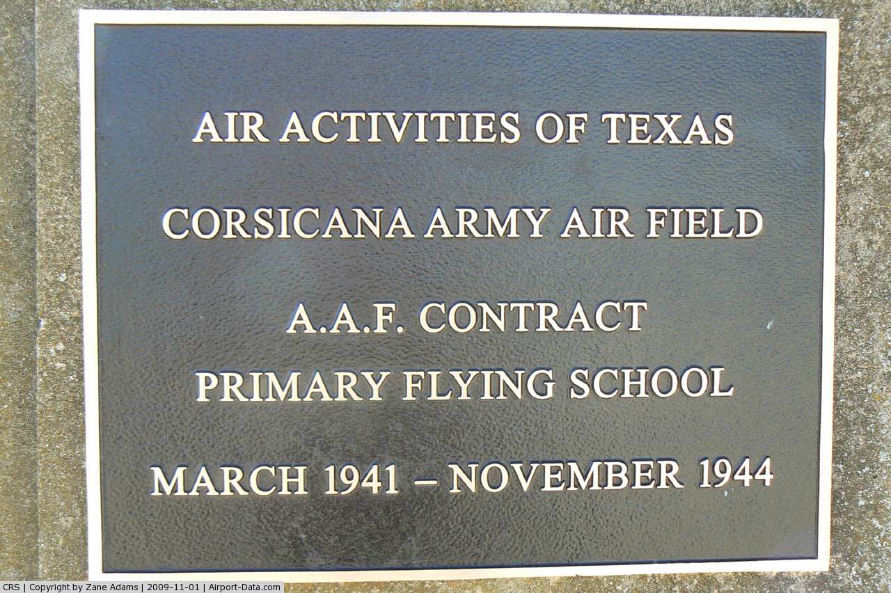
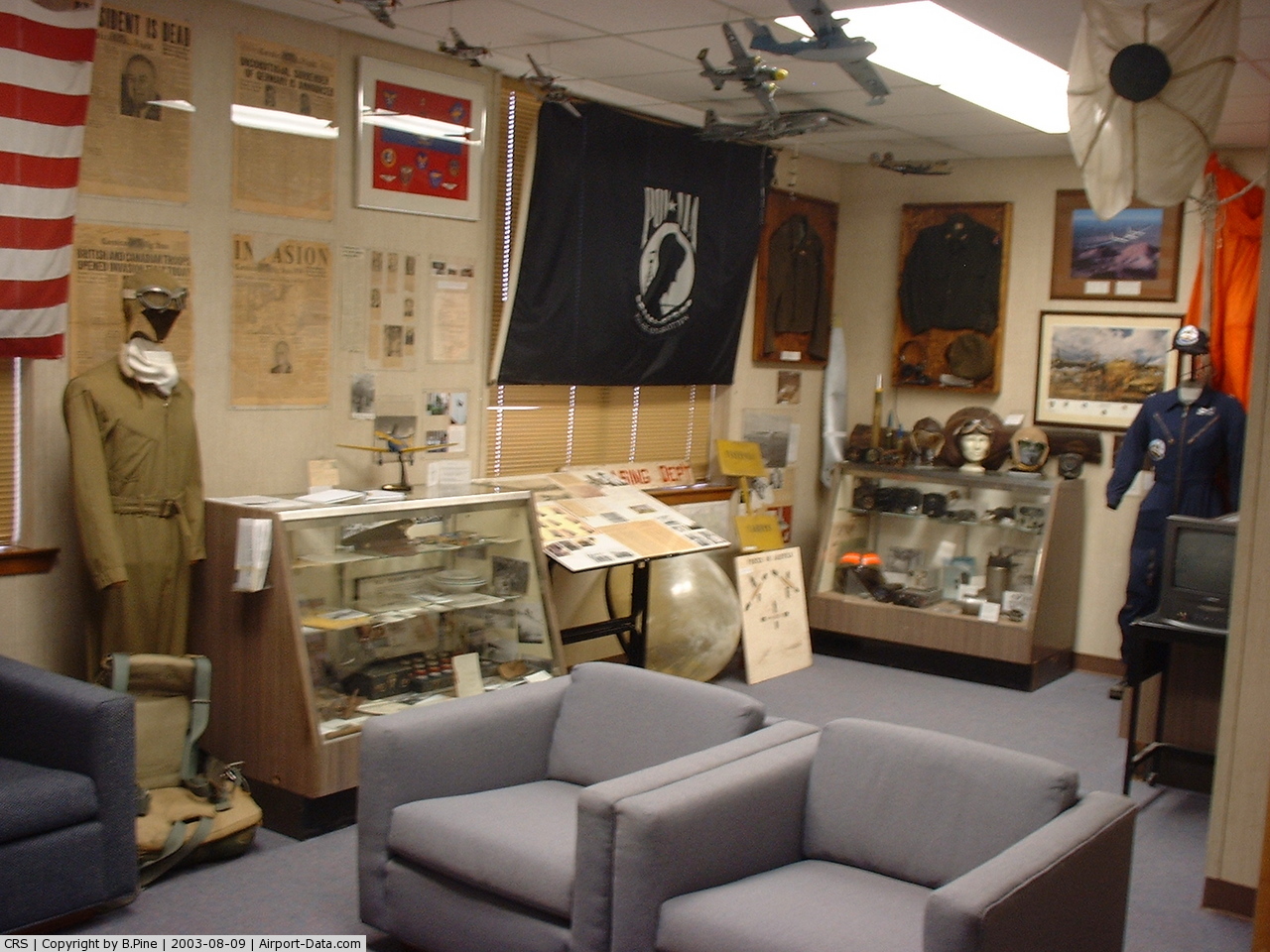
(Click on the photo to enlarge) |
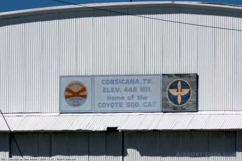 |
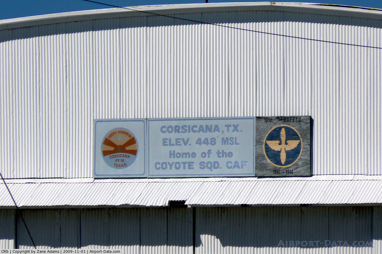
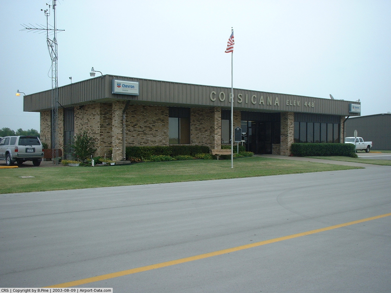
(Click on the photo to enlarge) |
 |
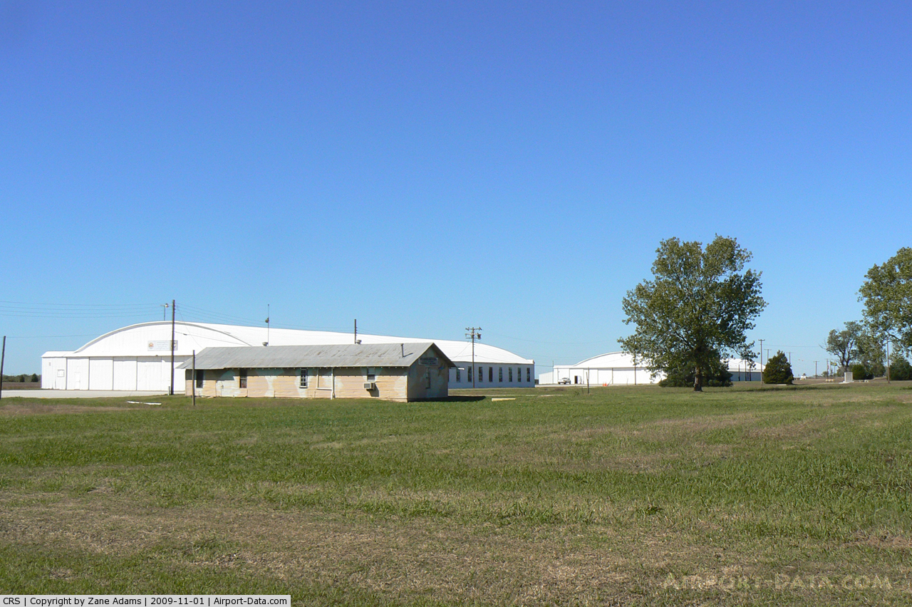
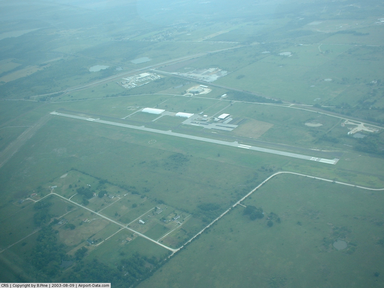
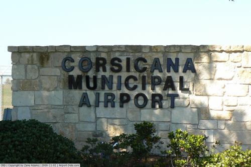
(Click on the photo to enlarge) |
 |
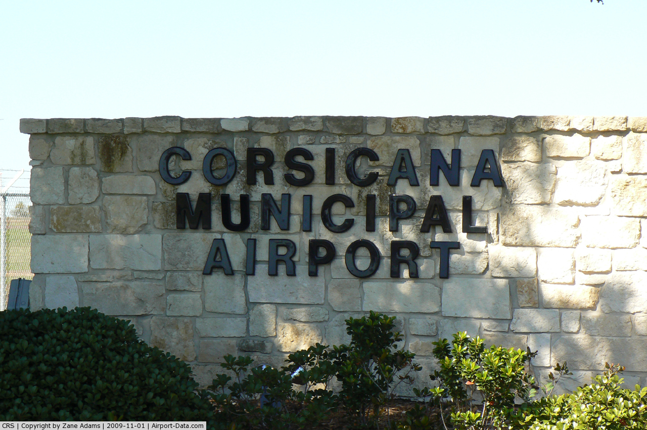
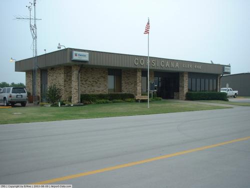
(Click on the photo to enlarge) |
 |
(Click on the photo to enlarge) |
 |
(Click on the photo to enlarge) |
 |
(Click on the photo to enlarge) |
Location & QuickFacts
| FAA Information Effective: | 2008-09-25 |
| Airport Identifier: | CRS |
| Airport Status: | Operational |
| Longitude/Latitude: | 096-24-02.1000W/32-01-41.0000N
-96.400583/32.028056 (Estimated) |
| Elevation: | 449 ft / 136.86 m (Surveyed) |
| Land: | 166 acres |
| From nearest city: | 5 nautical miles SE of Corsicana, TX |
| Location: | Navarro County, TX |
| Magnetic Variation: | 06E (1990) |
Owner & Manager
| Ownership: | Publicly owned |
| Owner: | City Of Corsicana |
| Address: | 200 N. 12th
Corsicana, TX 75110 |
| Phone number: | 903-654-4800 |
| Manager: | Ron Lynch |
| Address: | 200 N. 12th
Corsicana, TX 75110 |
| Phone number: | 903-654-4847
OR 903-654-4848; EMERGENCY PHONE: 903-654-4902 (CITY POLICE). |
Airport Operations and Facilities
| Airport Use: | Open to public |
| Wind indicator: | Yes |
| Segmented Circle: | Yes |
| Control Tower: | No |
| Lighting Schedule: | DUSK-DAWN
MIRL RY 14/32 PRESET MED INTST; TO INCR INTST & ACTVT VASI RY 14 - CTAF. |
| Beacon Color: | Clear-Green (lighted land airport) |
| Landing fee charge: | No |
| Sectional chart: | Dallas-ft Worth |
| Region: | ASW - Southwest |
| Boundary ARTCC: | ZFW - Fort Worth |
| Tie-in FSS: | FTW - Fort Worth |
| FSS on Airport: | No |
| FSS Phone: | 817-541-3474 |
| FSS Toll Free: | 1-800-WX-BRIEF |
| NOTAMs Facility: | CRS (NOTAM-d service avaliable) |
| Federal Agreements: | NGRY |
Airport Communications
| CTAF: | 122.800 |
| Unicom: | 122.800 |
Airport Services
| Fuel available: | 100LLA
FOR FUEL AFT HRS CALL 903-654-4847 OR 903-326-7451. |
| Airframe Repair: | MAJOR |
| Power Plant Repair: | MAJOR |
| Bottled Oxygen: | HIGH |
| Bulk Oxygen: | NONE |
Runway Information
Runway 02/20
| Dimension: | 3200 x 75 ft / 975.4 x 22.9 m |
| Surface: | TURF, Good Condition |
| |
Runway 02 |
Runway 20 |
| Longitude: | 096-24-23.3339W | 096-24-09.4100W |
| Latitude: | 32-01-29.6801N | 32-01-59.0400N |
| Elevation: | 438.00 ft | 448.00 ft |
| Alignment: | 22 | 127 |
| Traffic Pattern: | Left | Left |
| Obstruction: | 20 ft tree, 340.0 ft from runway, 50 ft left of centerline, 17:1 slope to clear | 25 ft trees, 885.0 ft from runway, 20 ft right of centerline, 35:1 slope to clear |
|
Runway 14/32
| Dimension: | 5004 x 75 ft / 1525.2 x 22.9 m |
| Surface: | ASPH, Good Condition |
| Weight Limit: | Single wheel: 26000 lbs. |
| Edge Lights: | Medium |
| |
Runway 14 |
Runway 32 |
| Longitude: | 096-24-09.5613W | 096-23-36.2812W |
| Latitude: | 32-01-59.2036N | 32-01-18.6056N |
| Elevation: | 449.00 ft | 432.00 ft |
| Alignment: | 127 | 127 |
| Traffic Pattern: | Left | Left |
| Markings: | Non-precision instrument, Fair Condition | Non-precision instrument, Fair Condition |
| Crossing Height: | 26.00 ft | 0.00 ft |
| VASI: | 4-box on right side | |
| Visual Glide Angle: | 3.00° | 0.00° |
| Runway End Identifier: | Yes | Yes |
| Obstruction: | 16 ft road, 430.0 ft from runway, 280 ft right of centerline, 14:1 slope to clear | 35 ft tree, 650.0 ft from runway, 230 ft right of centerline, 12:1 slope to clear |
|
Radio Navigation Aids
| ID |
Type |
Name |
Ch |
Freq |
Var |
Dist |
| CRS | NDB | Corsicana | | 396.00 | 06E | 0.3 nm |
| CGQ | NDB | Powell | | 344.00 | 06E | 2.6 nm |
| PYF | NDB | Pyramid | | 418.00 | 06E | 14.4 nm |
| CSZ | NDB | Crossroads | | 215.00 | 08E | 22.7 nm |
| LIQ | NDB | Lochridge Ranch | | 335.00 | 09E | 22.8 nm |
| LXY | NDB | Mexia | | 329.00 | 07E | 24.0 nm |
| AHX | NDB | Athens | | 269.00 | 06E | 30.1 nm |
| LNC | NDB | Lancaster | | 239.00 | 06E | 36.8 nm |
| PSN | NDB | Palestine | | 375.00 | 04E | 38.7 nm |
| JUG | NDB | Jecca | | 388.00 | 06E | 39.0 nm |
| AVZ | NDB | Travis | | 260.00 | 06E | 44.7 nm |
| XQH | NDB | Cedar Hill | | 353.00 | 08E | 44.7 nm |
| RBD | NDB | Redbird | | 287.00 | 06E | 45.7 nm |
| ROB | NDB | Robinson | | 400.00 | 07E | 46.5 nm |
| PQF | NDB | Mesquite | | 248.00 | 06E | 47.4 nm |
| GNL | VOR/DME | Groesbeck | 025X | 108.80 | 05E | 27.9 nm |
| FZT | VOR/DME | Frankston | 051X | 111.40 | 06E | 44.4 nm |
| CQY | VORTAC | Cedar Creek | 095X | 114.80 | 06E | 13.3 nm |
| ACT | VORTAC | Waco | 100X | 115.30 | 09E | 49.5 nm |
Remarks
- RY 14/32 HAS 4-6 INCH DROP-OFF AT EDGE OF PAVEMENT ALONG BOTH SIDES.
- RY 14/32 6-12 INCH CONCRETE BOXES EXPOSED AT RY LGT FIXTURES.
- RY 14/32 PARALLEL TWY HAS 4-6 INCH DROP-OFF ALONG FULL LENGTH OF BOTH SIDES.
Images and information placed above are from
http://www.airport-data.com/airport/CRS/
We thank them for the data!
| General Info
|
| Country |
United States
|
| State |
TEXAS
|
| FAA ID |
CRS
|
| Latitude |
32-01-38.959N
|
| Longitude |
096-23-52.930W
|
| Elevation |
449 feet
|
| Near City |
CORSICANA
|
We don't guarantee the information is fresh and accurate. The data may
be wrong or outdated.
For more up-to-date information please refer to other sources.
|
|