|
|
Blackwood Airpark Airport |
 |
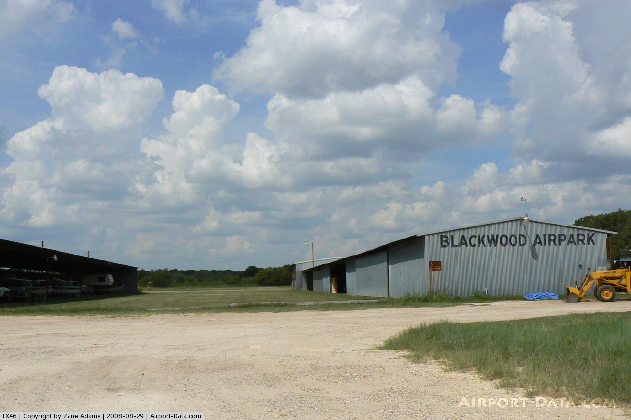
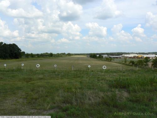
(Click on the photo to enlarge) |
 |
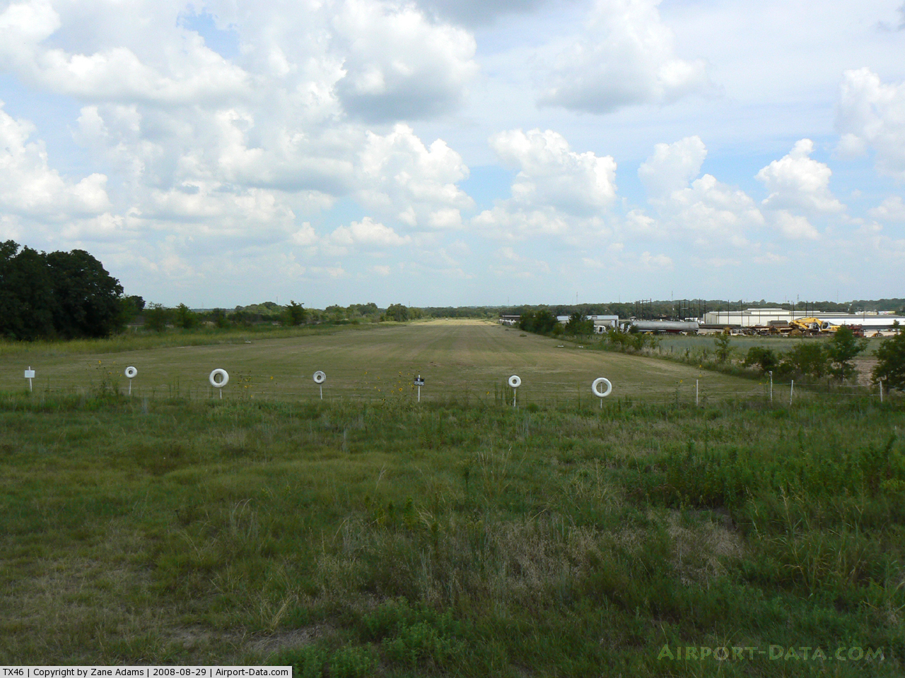
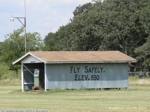
(Click on the photo to enlarge) |
 |
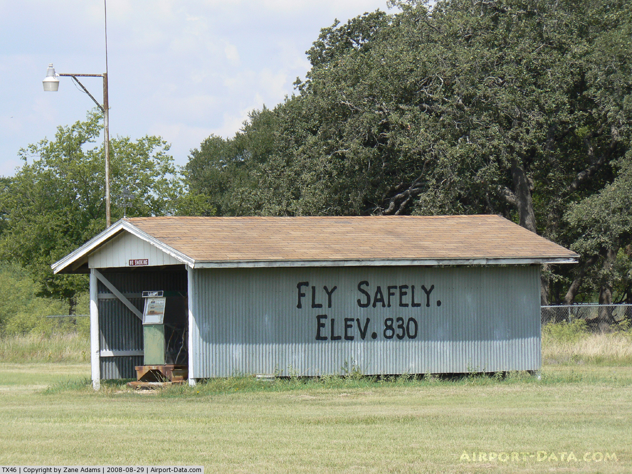
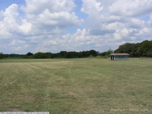
(Click on the photo to enlarge) |
 |
(Click on the photo to enlarge) |
Location & QuickFacts
| FAA Information Effective: | 2008-09-25 |
| Airport Identifier: | TX46 |
| Airport Status: | Operational |
| Longitude/Latitude: | 097-23-14.0620W/32-24-34.5100N
-97.387239/32.409586 (Estimated) |
| Elevation: | 835 ft / 254.51 m (Estimated) |
| Land: | 0 acres |
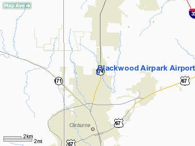
| From nearest city: | 4 nautical miles N of Cleburne, TX |
| Location: | Johnson County, TX |
| Magnetic Variation: | 07E (1985) |
Owner & Manager
| Ownership: | Privately owned |
| Owner: | Owen Gene Blackwood |
| Address: | 3337 N. Main St.
Cleburne, TX 76031 |
| Phone number: | 817-645-3551 |
| Address: |
|
Airport Operations and Facilities
| Airport Use: | Private |
| Wind indicator: | Yes |
| Segmented Circle: | Yes |
| Control Tower: | No |
| Lighting Schedule: | PHONE REQ
FOR LIRL RWY 17/35 PHONE 817-645-3551. |
| Landing fee charge: | No |
| Sectional chart: | Dallas-ft Worth |
| Region: | ASW - Southwest |
| Boundary ARTCC: | ZFW - Fort Worth |
| Tie-in FSS: | FTW - Fort Worth |
| FSS on Airport: | No |
| FSS Phone: | 817-541-3474 |
| FSS Toll Free: | 1-800-WX-BRIEF |
Airport Communications
Airport Services
| Airframe Repair: | NONE |
| Power Plant Repair: | NONE |
Runway Information
Runway 17/35
| Dimension: | 2600 x 75 ft / 792.5 x 22.9 m |
| Surface: | TURF, |
| Edge Lights: | Low |
| |
Runway 17 |
Runway 35 |
| Traffic Pattern: | Left | Right |
|
Radio Navigation Aids
| ID |
Type |
Name |
Ch |
Freq |
Var |
Dist |
| XQH | NDB | Cedar Hill | | 353.00 | 08E | 23.5 nm |
| RBD | NDB | Redbird | | 287.00 | 06E | 30.7 nm |
| LNC | NDB | Lancaster | | 239.00 | 06E | 35.2 nm |
| MWL | NDB | Mineral Wells | | 266.00 | 06E | 40.8 nm |
| JUG | NDB | Jecca | | 388.00 | 06E | 46.0 nm |
| PQF | NDB | Mesquite | | 248.00 | 06E | 49.7 nm |
| NFW | TACAN | Nas Jrb Fort Worth | 024X | | 07E | 21.9 nm |
| TTT | VOR/DME | Maverick | 078X | 113.10 | 06E | 32.7 nm |
| CVE | VOR/DME | Cowboy | 109X | 116.20 | 06E | 37.9 nm |
| JEN | VORTAC | Glen Rose | 097X | 115.00 | 06E | 29.1 nm |
| FUZ | VORTAC | Ranger | 104X | 115.70 | 06E | 30.7 nm |
| MQP | VORTAC | Millsap | 124X | 117.70 | 09E | 36.3 nm |
| ACT | VORTAC | Waco | 100X | 115.30 | 09E | 45.3 nm |
| FTW | VOT | Fort Worth Meacham | | 108.20 | | 24.6 nm |
| DAL | VOT | Dallas Love Field | | 113.30 | | 37.8 nm |
Remarks
- USE IN DRY WEATHER ONLY.
- PUBLIC WELCOME-USE AT OWN RISK.
Images and information placed above are from
http://www.airport-data.com/airport/TX46/
We thank them for the data!
| General Info
|
| Country |
United States
|
| State |
TEXAS
|
| FAA ID |
TX46
|
| Latitude |
32-24-34.510N
|
| Longitude |
097-23-14.062W
|
| Elevation |
835 feet
|
| Near City |
CLEBURNE
|
We don't guarantee the information is fresh and accurate. The data may
be wrong or outdated.
For more up-to-date information please refer to other sources.
|
|