 |
|
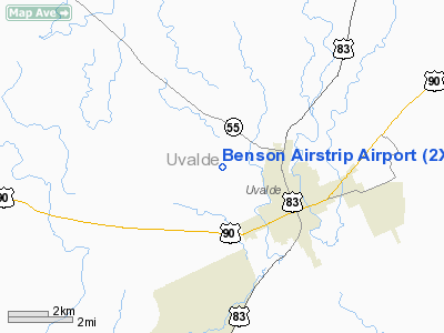
Location & QuickFacts
| FAA Information Effective: | 2008-09-25 |
| Airport Identifier: | 2XS8 |
| Airport Status: | Operational |
| Longitude/Latitude: | 099-49-26.2080W/29-13-45.8580N
-99.823947/29.229405 (Estimated) |
| Elevation: | 929 ft / 283.16 m (Estimated) |
| Land: | 0 acres |
| From nearest city: | 2 nautical miles NW of Uvalde, TX |
| Location: | Uvalde County, TX |
| Magnetic Variation: | 08E (1985) |
Owner & Manager
| Ownership: | Privately owned |
| Owner: | John Woodman |
| Address: | Hcr 77 Box 417a
Uvalde, TX 78801 |
| Phone number: | 210-278-4605 |
| Manager: | John Woodman |
| Address: | Hcr 77 Box 417a
Uvalde, TX 78801 |
| Phone number: | 210-278-4605 |
Airport Operations and Facilities
| Airport Use: | Private |
| Wind indicator: | Yes |
| Segmented Circle: | No |
| Control Tower: | No |
| Landing fee charge: | No |
| Sectional chart: | San Antonio |
| Region: | ASW - Southwest |
| Boundary ARTCC: | ZHU - Houston |
| Tie-in FSS: | SJT - San Angelo |
| FSS on Airport: | No |
| FSS Toll Free: | 1-800-WX-BRIEF |
Airport Services
| Airframe Repair: | NONE |
| Power Plant Repair: | NONE |
Runway Information
Runway 15/33
| Dimension: | 3300 x 80 ft / 1005.8 x 24.4 m |
| Surface: | ASPH, |
| |
Runway 15 |
Runway 33 |
| Traffic Pattern: | Left | Left |
|
Radio Navigation Aids
| ID |
Type |
Name |
Ch |
Freq |
Var |
Dist |
| UVA | NDB | Uvalde | | 281.00 | 07E | 6.0 nm |
| LKX | NDB | La Pryor | | 223.00 | 09E | 18.1 nm |
| CPZ | NDB | Chaparrosa Ranch | | 385.00 | 10E | 21.4 nm |
| PFO | NDB | Spofford | | 356.00 | 08E | 32.1 nm |
| HMA | NDB | Hondo | | 329.00 | 08E | 35.3 nm |
| BRX | NDB | La Fonda Ranch | | 269.00 | 09E | 42.0 nm |
| DMD | NDB | Dimmit County | | 343.00 | 07E | 42.5 nm |
| HHH | NDB | Devine | | 359.00 | 07E | 46.7 nm |
| HDO | VOR/DME | Hondo | 31X | 109.40 | 08E | 34.6 nm |
Images and information placed above are from
http://www.airport-data.com/airport/2XS8/
We thank them for the data!
| General Info
|
| Country |
United States
|
| State |
TEXAS
|
| FAA ID |
2XS8
|
| Latitude |
29-13-45.858N
|
| Longitude |
099-49-26.208W
|
| Elevation |
929 feet
|
| Near City |
UVALDE
|
We don't guarantee the information is fresh and accurate. The data may
be wrong or outdated.
For more up-to-date information please refer to other sources.
|
|


