 |
|
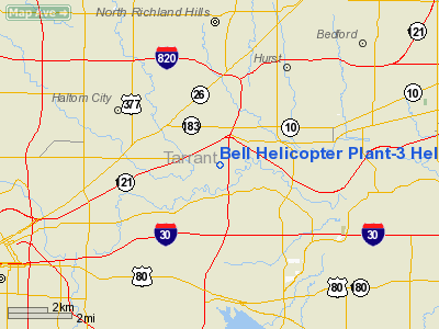
Bell Helicopter Plant-3 Heliport |
Location & QuickFacts
| FAA Information Effective: | 2008-09-25 |
| Airport Identifier: | TA99 |
| Airport Status: | Operational |
| Longitude/Latitude: | 097-13-01.0480W/32-47-30.4660N
-97.216958/32.791796 (Estimated) |
| Elevation: | 530 ft / 161.54 m (Estimated) |
| Land: | 0 acres |
| From nearest city: | 1 nautical miles SE of Richland Hills, TX |
| Location: | Tarrant County, TX |
| Magnetic Variation: | 07E (1985) |
Owner & Manager
| Ownership: | Privately owned |
| Owner: | Bell Helicopter Textron, Inc. |
| Address: | Po Box 482; Dept 86/plant 1
Ft. Worth, TX 76101 |
| Phone number: | 409-280-3418 |
| Manager: | D. R. Lang |
| Address: | P.o. Box 482
Ft. Worth, TX 76101 |
| Phone number: | 409-280-3418 |
Airport Operations and Facilities
| Airport Use: | Private |
| Wind indicator: | Yes |
| Segmented Circle: | No |
| Control Tower: | No |
| Sectional chart: | Dallas-ft Worth |
| Region: | ASW - Southwest |
| Boundary ARTCC: | ZFW - Fort Worth |
| Tie-in FSS: | FTW - Fort Worth |
| FSS on Airport: | No |
| FSS Phone: | 817-541-3474 |
| FSS Toll Free: | 1-800-WX-BRIEF |
Runway Information
Helipad H1
| Dimension: | 29 x 20 ft / 8.8 x 6.1 m |
| Surface: | CONC, |
| |
Runway H1 |
Runway |
| Traffic Pattern: | Left | Left |
|
Radio Navigation Aids
| ID |
Type |
Name |
Ch |
Freq |
Var |
Dist |
| XQH | NDB | Cedar Hill | | 353.00 | 08E | 17.1 nm |
| RBD | NDB | Redbird | | 287.00 | 06E | 18.8 nm |
| LNC | NDB | Lancaster | | 239.00 | 06E | 28.2 nm |
| PQF | NDB | Mesquite | | 248.00 | 06E | 34.8 nm |
| JUG | NDB | Jecca | | 388.00 | 06E | 35.4 nm |
| MWL | NDB | Mineral Wells | | 266.00 | 06E | 42.5 nm |
| AVZ | NDB | Travis | | 260.00 | 06E | 48.9 nm |
| NFW | TACAN | Nas Jrb Fort Worth | 024X | | 07E | 11.3 nm |
| TTT | VOR/DME | Maverick | 078X | 113.10 | 06E | 10.1 nm |
| CVE | VOR/DME | Cowboy | 109X | 116.20 | 06E | 16.9 nm |
| FUZ | VORTAC | Ranger | 104X | 115.70 | 06E | 6.2 nm |
| MQP | VORTAC | Millsap | 124X | 117.70 | 09E | 39.6 nm |
| FTW | VOT | Fort Worth Meacham | | 108.20 | | 7.3 nm |
| DAL | VOT | Dallas Love Field | | 113.30 | | 18.7 nm |
Remarks
- VFR PRIVATE USE; WIND INDICATOR IS MAINTAINED; GUARDS RESTRICT ACCESS DURING OPNS; PLINE NE THROUGH SE BE MKD.
Images and information placed above are from
http://www.airport-data.com/airport/TA99/
We thank them for the data!
| General Info
|
| Country |
United States
|
| State |
TEXAS
|
| FAA ID |
TA99
|
| Latitude |
32-47-30.466N
|
| Longitude |
097-13-01.048W
|
| Elevation |
530 feet
|
| Near City |
RICHLAND HILLS
|
We don't guarantee the information is fresh and accurate. The data may
be wrong or outdated.
For more up-to-date information please refer to other sources.
|
|


