 |
|
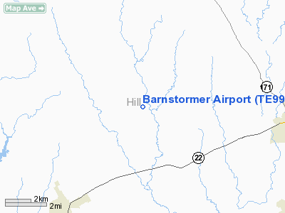
Location & QuickFacts
| FAA Information Effective: | 2008-09-25 |
| Airport Identifier: | TE99 |
| Airport Status: | Operational |
| Longitude/Latitude: | 097-15-13.4400W/32-01-17.4000N
-97.253733/32.021500 (Estimated) |
| Elevation: | 625 ft / 190.50 m (Estimated) |
| Land: | 200 acres |
| From nearest city: | 3 nautical miles S of Peoria, TX |
| Location: | Hill County, TX |
| Magnetic Variation: | 06E (2000) |
Owner & Manager
| Ownership: | Privately owned |
| Owner: | Charlie Griffith |
| Address: | Po Box 833
Hillsboro, TX 76645 |
| Phone number: | 254-582-8568 |
| Manager: | Charlie Griffith |
| Address: | Po Box 833
Hillsboro, TX 76645 |
| Phone number: | 254-582-8568 |
Airport Operations and Facilities
| Airport Use: | Private |
| Wind indicator: | Yes |
| Segmented Circle: | No |
| Control Tower: | No |
| Sectional chart: | Dallas-ft Worth |
| Region: | ASW - Southwest |
| Boundary ARTCC: | ZFW - Fort Worth |
| Tie-in FSS: | FTW - Fort Worth |
| FSS Phone: | 817-541-3474 |
| FSS Toll Free: | 1-800-WX-BRIEF |
Runway Information
Runway 14/32
| Dimension: | 3300 x 35 ft / 1005.8 x 10.7 m |
| Surface: | ASPH, |
| |
Runway 14 |
Runway 32 |
| Traffic Pattern: | Left | Left |
| Obstruction: | 30 ft bldg, 528.0 ft from runway | 25 ft wires, 75.0 ft from runway |
|
Radio Navigation Aids
| ID |
Type |
Name |
Ch |
Freq |
Var |
Dist |
| ROB | NDB | Robinson | | 400.00 | 07E | 32.5 nm |
| XQH | NDB | Cedar Hill | | 353.00 | 08E | 37.0 nm |
| CGQ | NDB | Powell | | 344.00 | 06E | 42.1 nm |
| LNC | NDB | Lancaster | | 239.00 | 06E | 43.0 nm |
| CRS | NDB | Corsicana | | 396.00 | 06E | 43.8 nm |
| RBD | NDB | Redbird | | 287.00 | 06E | 43.9 nm |
| LXY | NDB | Mexia | | 329.00 | 07E | 44.3 nm |
| NFW | TACAN | Nas Jrb Fort Worth | 024X | | 07E | 46.1 nm |
| GNL | VOR/DME | Groesbeck | 025X | 108.80 | 05E | 44.7 nm |
| TPL | VOR/DME | Temple | 041X | 110.40 | 09E | 49.6 nm |
| ACT | VORTAC | Waco | 100X | 115.30 | 09E | 21.6 nm |
| JEN | VORTAC | Glen Rose | 097X | 115.00 | 06E | 32.8 nm |
| FTW | VOT | Fort Worth Meacham | | 108.20 | | 48.1 nm |
Images and information placed above are from
http://www.airport-data.com/airport/TE99/
We thank them for the data!
| General Info
|
| Country |
United States
|
| State |
TEXAS
|
| FAA ID |
TE99
|
| Latitude |
32-01-17.400N
|
| Longitude |
097-15-13.440W
|
| Elevation |
625 feet
|
| Near City |
PEORIA
|
We don't guarantee the information is fresh and accurate. The data may
be wrong or outdated.
For more up-to-date information please refer to other sources.
|
|


