 |
|
Location & QuickFacts
| FAA Information Effective: | 2008-09-25 |
| Airport Identifier: | 58TS |
| Airport Status: | Operational |
| Longitude/Latitude: | 097-22-47.0470W/31-47-52.5740N
-97.379735/31.797937 (Estimated) |
| Elevation: | 665 ft / 202.69 m (Estimated) |
| Land: | 29 acres |
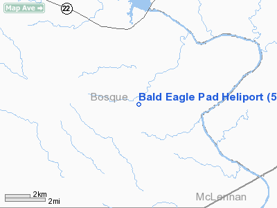
| From nearest city: | 7 nautical miles N of Laguna Park, TX |
| Location: | Bosque County, TX |
| Magnetic Variation: | 07E (1985) |
Owner & Manager
| Ownership: | Privately owned |
| Owner: | Howard Wayne Stout |
| Address: | 7213 Harwick Lane
Fort Worth, TX 76180 |
| Phone number: | 817-656-2060 |
| Manager: | Howard Wayne Stout |
| Address: | 7213 Harwick Lane
Fort Worth, TX 76180 |
| Phone number: | 817-656-2060 |
Airport Operations and Facilities
| Airport Use: | Private |
| Segmented Circle: | No |
| Control Tower: | No |
| Sectional chart: | San Antonio |
| Region: | ASW - Southwest |
| Boundary ARTCC: | ZFW - Fort Worth |
| Tie-in FSS: | FTW - Fort Worth |
| FSS Phone: | 817-541-3474 |
| FSS Toll Free: | 1-800-WX-BRIEF |
Runway Information
Helipad H1
| Dimension: | 100 x 100 ft / 30.5 x 30.5 m |
| Surface: | TURF, |
| |
Runway H1 |
Runway |
| Traffic Pattern: | Right | Left |
|
Radio Navigation Aids
| ID |
Type |
Name |
Ch |
Freq |
Var |
Dist |
| ROB | NDB | Robinson | | 400.00 | 07E | 23.8 nm |
| MNZ | NDB | Hamilton | | 251.00 | 07E | 40.7 nm |
| HLR | NDB | Hood | | 347.00 | 07E | 43.7 nm |
| LXY | NDB | Mexia | | 329.00 | 07E | 45.4 nm |
| GR | NDB | Starn | | 323.00 | 07E | 45.7 nm |
| IL | NDB | Iresh | | 278.00 | 07E | 49.5 nm |
| TPL | VOR/DME | Temple | 041X | 110.40 | 09E | 35.5 nm |
| GNL | VOR/DME | Groesbeck | 025X | 108.80 | 05E | 44.4 nm |
| ACT | VORTAC | Waco | 100X | 115.30 | 09E | 9.9 nm |
| JEN | VORTAC | Glen Rose | 097X | 115.00 | 06E | 33.4 nm |
Remarks
- HELIPAD LOCATED 12 MILES NORTHWEST ON 320 DEGREE RADIAL WACO (ACT) VOR.
- HELIPAD IDENTIFIED WITH A 25' H IN THE CENTER.
Images and information placed above are from
http://www.airport-data.com/airport/58TS/
We thank them for the data!
| General Info
|
| Country |
United States
|
| State |
TEXAS
|
| FAA ID |
58TS
|
| Latitude |
31-47-52.574N
|
| Longitude |
097-22-47.047W
|
| Elevation |
665 feet
|
| Near City |
LAGUNA PARK
|
We don't guarantee the information is fresh and accurate. The data may
be wrong or outdated.
For more up-to-date information please refer to other sources.
|
|


