 |
|
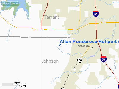
Location & QuickFacts
| FAA Information Effective: | 2008-09-25 |
| Airport Identifier: | 07XS |
| Airport Status: | Operational |
| Longitude/Latitude: | 097-23-30.0600W/32-32-31.8600N
-97.391683/32.542183 (Estimated) |
| Elevation: | 840 ft / 256.03 m (Estimated) |
| Land: | 5 acres |
| From nearest city: | 3 nautical miles N of Crowley, TX |
| Location: | Johnson County, TX |
| Magnetic Variation: | () |
Owner & Manager
| Ownership: | Privately owned |
| Owner: | Steven R. Allen |
| Address: | Po Box 1000
Joshua, TX 76058 |
| Phone number: | 817-297-0238 |
| Manager: | Steven R. Allen |
| Address: | Po Box 1000
Joshua, TX 76058 |
| Phone number: | 817-297-0238 |
Airport Operations and Facilities
| Airport Use: | Private |
| Segmented Circle: | No |
| Control Tower: | No |
| Sectional chart: | Dallas-ft Worth |
| Region: | ASW - Southwest |
| Boundary ARTCC: | ZFW - Fort Worth |
| Tie-in FSS: | FTW - Fort Worth |
| FSS Phone: | 817-541-3474 |
| FSS Toll Free: | 1-800-WX-BRIEF |
Runway Information
Helipad H1
| Dimension: | 30 x 30 ft / 9.1 x 9.1 m |
| Surface: | CONC, |
| |
Runway H1 |
Runway |
| Traffic Pattern: | Left | Left |
|
Radio Navigation Aids
| ID |
Type |
Name |
Ch |
Freq |
Var |
Dist |
| XQH | NDB | Cedar Hill | | 353.00 | 08E | 21.2 nm |
| RBD | NDB | Redbird | | 287.00 | 06E | 27.6 nm |
| LNC | NDB | Lancaster | | 239.00 | 06E | 34.0 nm |
| MWL | NDB | Mineral Wells | | 266.00 | 06E | 36.7 nm |
| JUG | NDB | Jecca | | 388.00 | 06E | 44.2 nm |
| PQF | NDB | Mesquite | | 248.00 | 06E | 46.5 nm |
| NFW | TACAN | Nas Jrb Fort Worth | 024X | | 07E | 14.0 nm |
| TTT | VOR/DME | Maverick | 078X | 113.10 | 06E | 26.5 nm |
| CVE | VOR/DME | Cowboy | 109X | 116.20 | 06E | 32.3 nm |
| FUZ | VORTAC | Ranger | 104X | 115.70 | 06E | 23.5 nm |
| MQP | VORTAC | Millsap | 124X | 117.70 | 09E | 32.6 nm |
| JEN | VORTAC | Glen Rose | 097X | 115.00 | 06E | 33.7 nm |
| FTW | VOT | Fort Worth Meacham | | 108.20 | | 16.6 nm |
| DAL | VOT | Dallas Love Field | | 113.30 | | 32.9 nm |
Remarks
- PRVDD DAY GLOW MARKERS INSTALLED ON PLINES SOUTH END OF HELIPORT.
Images and information placed above are from
http://www.airport-data.com/airport/07XS/
We thank them for the data!
|
|


