|
|
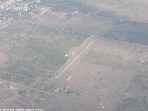 |
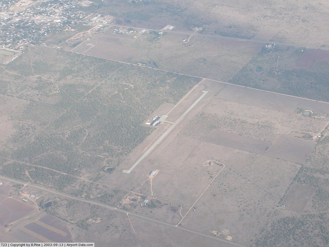
(Click on the photo to enlarge) |
Location & QuickFacts
| FAA Information Effective: | 2008-09-25 |
| Airport Identifier: | T23 |
| Airport Status: | Operational |
| Longitude/Latitude: | 099-16-03.2790W/32-43-08.4270N
-99.267578/32.719007 (Estimated) |
| Elevation: | 1425 ft / 434.34 m (Estimated) |
| Land: | 70 acres |
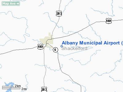
| From nearest city: | 2 nautical miles E of Albany, TX |
| Location: | Shackelford County, TX |
| Magnetic Variation: | 08E (1985) |
Owner & Manager
| Ownership: | Publicly owned |
| Owner: | The City Of Albany |
| Address: | P O Box 595
Albany, TX 76430 |
| Phone number: | 325-762-3133 |
| Manager: | Bobby Russell
CITY MGR. |
| Address: | P O Box 595
Albany, TX 76430 |
| Phone number: | 325-762-3133 |
Airport Operations and Facilities
| Airport Use: | Open to public |
| Wind indicator: | Yes |
| Segmented Circle: | Yes |
| Control Tower: | No |
| Lighting Schedule: | DUSK-DAWN
ACTVT LIRL RY 17/35 - 123.5. |
| Beacon Color: | Clear-Green (lighted land airport) |
| Landing fee charge: | No |
| Sectional chart: | Dallas-ft Worth |
| Region: | ASW - Southwest |
| Boundary ARTCC: | ZFW - Fort Worth |
| Tie-in FSS: | FTW - Fort Worth |
| FSS on Airport: | No |
| FSS Phone: | 817-541-3474 |
| FSS Toll Free: | 1-800-WX-BRIEF |
| NOTAMs Facility: | FTW (NOTAM-d service avaliable) |
Airport Communications
Airport Services
Runway Information
Runway 17/35
| Dimension: | 3700 x 60 ft / 1127.8 x 18.3 m |
| Surface: | ASPH, Fair Condition |
| Weight Limit: | Single wheel: 12500 lbs. |
| Edge Lights: | Low |
| |
Runway 17 |
Runway 35 |
| Traffic Pattern: | Left | Right |
| Markings: | Basic, Poor Condition
RY 17/35 STRIPING BADLY FADED. | Basic, Poor Condition |
| Obstruction: | , 50:1 slope to clear | 39 ft pline, 999.0 ft from runway, 20:1 slope to clear |
|
Radio Navigation Aids
| ID |
Type |
Name |
Ch |
Freq |
Var |
Dist |
| BKD | NDB | Breckenridge | | 245.00 | 07E | 19.1 nm |
| TMV | NDB | Stamford | | 290.00 | 08E | 25.2 nm |
| OIP | NDB | Old Rip | | 410.00 | 07E | 30.1 nm |
| AKL | NDB | Haskell | | 407.00 | 08E | 36.4 nm |
| ONY | NDB | Olney | | 272.00 | 07E | 44.3 nm |
| GZV | NDB | Brazos River | | 280.00 | 07E | 45.4 nm |
| GHX | NDB | Graham | | 371.00 | 07E | 47.3 nm |
| DYS | TACAN | Dyess | 063X | | 08E | 34.9 nm |
| TQA | VOR/DME | Tuscola | 053X | 111.60 | 10E | 40.2 nm |
| ABI | VORTAC | Abilene | 084X | 113.70 | 10E | 33.4 nm |
Remarks
- PRVDD APCHS ARE MAINTD FOR A 20:1 SLOPE.
Images and information placed above are from
http://www.airport-data.com/airport/T23/
We thank them for the data!
| General Info
|
| Country |
United States
|
| State |
TEXAS
|
| FAA ID |
T23
|
| Latitude |
32-43-08.427N
|
| Longitude |
099-16-03.279W
|
| Elevation |
1425 feet
|
| Near City |
ALBANY
|
We don't guarantee the information is fresh and accurate. The data may
be wrong or outdated.
For more up-to-date information please refer to other sources.
|
|