 |
|
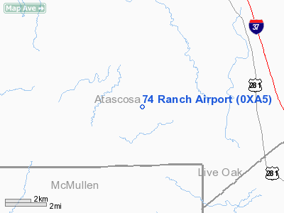
Location & QuickFacts
| FAA Information Effective: | 2008-09-25 |
| Airport Identifier: | 0XA5 |
| Airport Status: | Operational |
| Longitude/Latitude: | 098-22-58.0200W/28-41-05.6500N
-98.382783/28.684903 (Estimated) |
| Elevation: | 320 ft / 97.54 m (Estimated) |
| Land: | 0 acres |
| From nearest city: | 6 nautical miles SW of Campbellton, TX |
| Location: | Atascosa County, TX |
| Magnetic Variation: | () |
Owner & Manager
| Ownership: | Privately owned |
| Owner: | 74 Ranch Resort |
| Address: | 12200 Fm 791 West
Campbellton, TX 78008 |
| Phone number: | 830-579-7474 |
| Manager: | James Worthington |
| Address: | 7930 Airport Blvd
Houston, TX 77061 |
| Phone number: | 281-450-6896 |
Airport Operations and Facilities
| Airport Use: | Private |
| Wind indicator: | Yes |
| Control Tower: | No |
| Lighting Schedule: | RDO-CTL
ACTVT ROTG BCN - 122.9. |
| Beacon Color: | Clear-Green (lighted land airport) |
| Sectional chart: | San Antonio |
| Region: | ASW - Southwest |
| Boundary ARTCC: | ZHU - Houston |
| Tie-in FSS: | SJT - San Angelo |
| FSS Toll Free: | 1-800-WX-BRIEF |
Runway Information
Runway 13/31
| Dimension: | 3800 x 75 ft / 1158.2 x 22.9 m |
| Surface: | ASPH, |
| Edge Lights: | Low |
| |
Runway 13 |
Runway 31 |
| Traffic Pattern: | Left | Left |
|
Radio Navigation Aids
| ID |
Type |
Name |
Ch |
Freq |
Var |
Dist |
| PEZ | NDB | Pleasanton | | 275.00 | 07E | 17.7 nm |
| BEA | NDB | Beeville | | 284.00 | 07E | 36.4 nm |
| HHH | NDB | Devine | | 359.00 | 07E | 40.0 nm |
| CVB | NDB | Castroville | | 338.00 | 08E | 46.7 nm |
| KSY | TACAN | Kelly | 057X | | 07E | 43.7 nm |
| SSF | VOR | Stinson | | 108.40 | 09E | 34.6 nm |
| THX | VORTAC | Three Rivers | 051X | 111.40 | 08E | 16.3 nm |
| COT | VORTAC | Cotulla | 105X | 115.80 | 09E | 41.1 nm |
Remarks
- 100 FT PLINE 3 NM SW; 50 FT PLINE 4 NM NW; & 50 FT PLINE 2.5 NM NE.
Images and information placed above are from
http://www.airport-data.com/airport/0XA5/
We thank them for the data!
| General Info
|
| Country |
United States
|
| State |
TEXAS
|
| FAA ID |
0XA5
|
| Latitude |
28.684903
28° 41' 05.65" N
|
| Longitude |
-98.382783
098° 22' 58.02" W
|
| Elevation |
320 feet
98 meters
|
| Magnetic Variation |
005° E (08/06)
|
| Operating Agency |
PRIVATE
|
We don't guarantee the information is fresh and accurate. The data may
be wrong or outdated.
For more up-to-date information please refer to other sources.
|
|


