 |
|
Location & QuickFacts
| FAA Information Effective: | 2008-09-25 |
| Airport Identifier: | TN60 |
| Airport Status: | Operational |
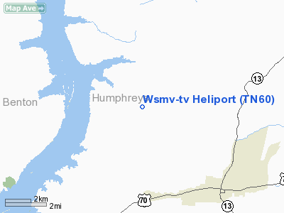
| Longitude/Latitude: | 087-51-43.0980W/36-08-28.2100N
-87.861972/36.141169 (Estimated) |
| Elevation: | 650 ft / 198.12 m (Estimated) |
| Land: | 0 acres |
| From nearest city: | 9 nautical miles W of Nashville, TN |
| Location: | Davidson County, TN |
| Magnetic Variation: | 00E (1985) |
Owner & Manager
| Ownership: | Privately owned |
| Owner: | Meredith Corp /dba/ Wsmv-tv |
| Address: | 5700 Knob Road
Nashville, TN 37209 |
| Phone number: | 615-353-4444 |
| Manager: | Edgar A. Mcdaniel Jr. |
| Address: | 5700 Knob Road
Nashville, TN 37209 |
| Phone number: | 615-353-4444 |
Airport Operations and Facilities
| Airport Use: | Private |
| Wind indicator: | Yes |
| Segmented Circle: | No |
| Control Tower: | No |
| Landing fee charge: | No |
| Sectional chart: | St Louis |
| Region: | ASO - Southern |
| Boundary ARTCC: | ZME - Memphis |
| Tie-in FSS: | BNA - Nashville |
| FSS on Airport: | No |
| FSS Toll Free: | 1-800-WX-BRIEF |
Runway Information
Helipad H1
| Dimension: | 40 x 40 ft / 12.2 x 12.2 m |
| Surface: | ASPH, |
| |
Runway H1 |
Runway |
| Traffic Pattern: | Left | Left |
|
Radio Navigation Aids
| ID |
Type |
Name |
Ch |
Freq |
Var |
Dist |
| AEY | NDB | Waverly | | 329.00 | 00E | 6.0 nm |
| DMZ | NDB | Dickson | | 203.00 | 01W | 20.9 nm |
| TIQ | NDB | Trainer | | 410.00 | 00E | 27.6 nm |
| HZD | NDB | Huntingdon | | 217.00 | 00E | 29.5 nm |
| FK | NDB | Airbe | | 273.00 | 01W | 41.9 nm |
| JHG | NDB | Hohenwald | | 257.00 | 01W | 42.3 nm |
| ON | NDB | Music | | 279.00 | 03W | 46.0 nm |
| GGK | NDB | Mayfield | | 401.00 | 00E | 48.4 nm |
| PBC | NDB | Maury County | | 365.00 | 01W | 49.3 nm |
| TGC | NDB | Gibson | | 378.00 | 01E | 49.6 nm |
| HXW | TACAN | Screaming Eagle | 096X | | 01W | 36.7 nm |
| CKV | VOR/DME | Clarksville | 043X | 110.60 | 01W | 36.2 nm |
| JKS | VOR/DME | Jacks Creek | 031X | 109.40 | 02E | 40.6 nm |
| GHM | VORTAC | Graham | 053X | 111.60 | 03E | 27.2 nm |
Remarks
- VFR PERSONAL USE; COORD USE OF HELIPAD WITH NASHVILLE GADO.
Images and information placed above are from
http://www.airport-data.com/airport/TN60/
We thank them for the data!
| General Info
|
| Country |
United States
|
| State |
TENNESSEE
|
| FAA ID |
TN60
|
| Latitude |
36-08-28.210N
|
| Longitude |
087-51-43.098W
|
| Elevation |
650 feet
|
| Near City |
NASHVILLE
|
We don't guarantee the information is fresh and accurate. The data may
be wrong or outdated.
For more up-to-date information please refer to other sources.
|
|


