|
|
Tri-cities Rgnl Tn/va Airport |
| Tri-Cities Regional Airport |
 |
| IATA: TRI – ICAO: KTRI |
| Summary |
| Airport type |
Public |
| Operator |
Tri-Cities Airport Commission |
| Location |
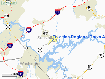
Blountville, Tennessee |
| Elevation AMSL |
1519 ft / 463 m |
| Coordinates |
36°28′30.77″N 82°24′26.71″W / 36.4752139°N 82.4074194°W / 36.4752139; -82.4074194Coordinates: 36°28′30.77″N 82°24′26.71″W / 36.4752139°N 82.4074194°W / 36.4752139; -82.4074194 |
| Runways |
| Direction |
Length |
Surface |
| ft |
m |
| 5/23 |
8,000 |
2,438 |
Asphalt |
| 9/27 |
4,447 |
1,355 |
Asphalt |
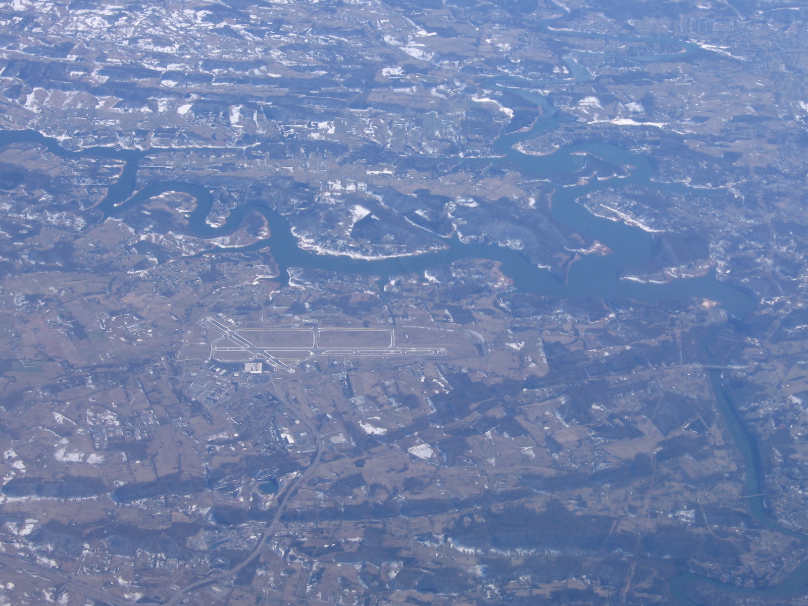
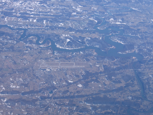
Tri-Cities Regional Airport (IATA: TRI, ICAO: KTRI), also known as Tri-Cities Regional Airport, TN/VA, is a public airport located adjacent to Blountville, Tennessee. It primarily serves the Tri-Cities area of Northeast Tennessee and Southwest Virginia that includes the following cities: Johnson City; Kingsport; Bristol; Elizabethton; Mountain City; Jonesborough, Erwin; Rogersville; Greeneville, and; the cities of Bristol, Virginia; Abingdon, Virginia, and Boone, North Carolina just across the Virginia and North Carolina state borders from Northeast Tennessee. Several counties within a 60-mile radius in Tennessee, Virginia, and North Carolina are served by the airport.
The airport is governed by the Tri-Cities Airport Commission (TCAC) and owned by the cities of Johnson City, Kingsport, Bristol (TN), Bristol (VA) and both Washington County and Sullivan County in Northeast Tennessee. Facilities
Tri-Cities Regional Airport covers 1,100 acres (445 ha) and has two runways:
- Runway 5/23: 8,000 x 150 ft. (2,438 x 46 m), Surface: Asphalt
- Runway 9/27: 4,447 x 150 ft. (1,355 x 46 m), Surface: Asphalt
Airlines and destinations
| Airlines |
Destinations |
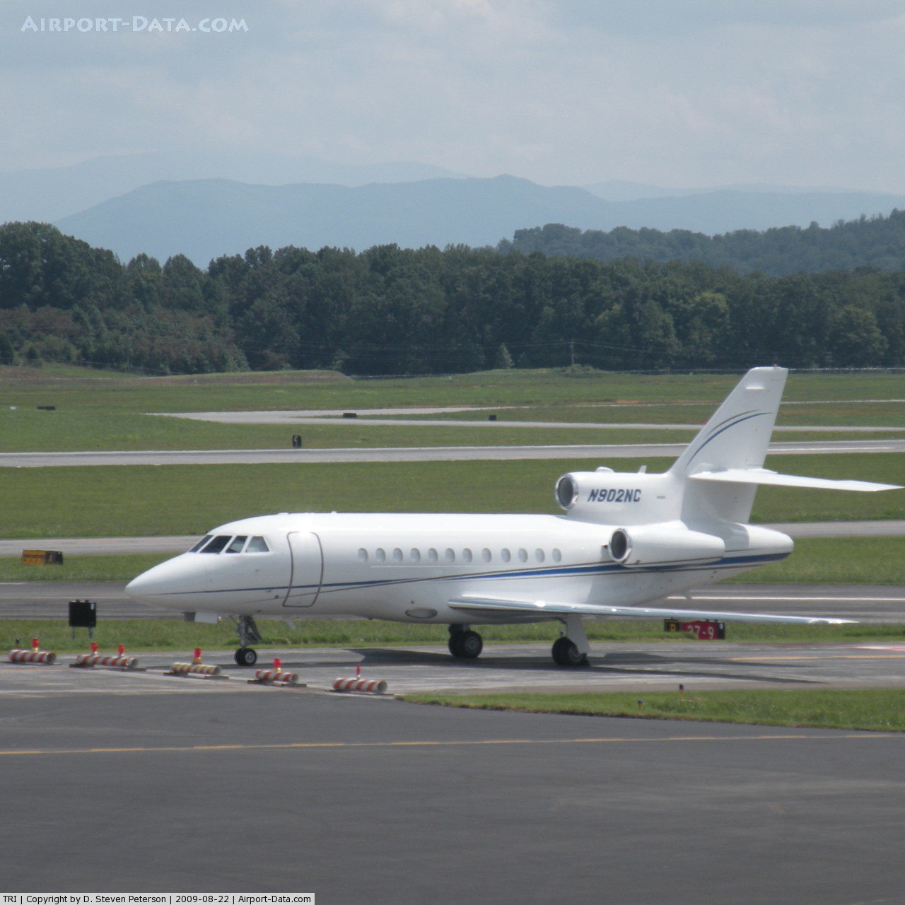
| American Eagle |
Chicago-O'Hare |
| Allegiant Air |
Orlando, St. Petersburg/Clearwater(ending October 28) |
| Delta Connection operated by Atlantic Southeast Airlines |
Atlanta |
| Delta Connection operated by Pinnacle Airlines |
Detroit |
| US Airways Express operated by Piedmont Airlines |
Charlotte |
| US Airways Express operated by PSA Airlines |
Charlotte |
The above content comes from Wikipedia and is published under free licenses – click here to read more.
 |
(Click on the photo to enlarge) |
Location & QuickFacts
| FAA Information Effective: | 2008-09-25 |
| Airport Identifier: | TRI |
| Airport Status: | Operational |
| Longitude/Latitude: | 082-24-26.7000W/36-28-30.8000N
-82.407417/36.475222 (Estimated) |
| Elevation: | 1519 ft / 462.99 m (Surveyed) |
| Land: | 1100 acres |
| From nearest city: | 12 nautical miles SW of Bristol/johnson/kingsport, TN |
| Location: | Sullivan County, TN |
| Magnetic Variation: | 05W (1990) |
Owner & Manager
| Ownership: | Publicly owned |
| Owner: | Bristol Johnson Kingsport
CITIES OF BRISTOL, TN; BRISTOL, VA; JOHNSON CITY & KINGSPORT, TN; COUNTIES OF WASHINGTON & SULLIVAN. |
| Address: | Box 1055 Tri-city Arpt Stn
Blountville, TN 37617 |
| Phone number: | 423-325-6333 |
| Manager: | Patrick Wilson |
| Address: | Box 1055 Tri-cities Arpt Comm
Blountville, TN 37617 |
| Phone number: | 423-325-6001 |
Airport Operations and Facilities
| Airport Use: | Open to public |
| Wind indicator: | Yes |
| Segmented Circle: | Yes |
| Control Tower: | Yes |
| Lighting Schedule: | DUSK-DAWN
ALSF2 RY 23 & HIRL RY 05/23 PRESET MED INTST WHEN ATCT CLSD. MIRL RY 09/27 & REIL RY 27 NOT AVBL WHEN ATCT CLSD. |
| Beacon Color: | Clear-Green (lighted land airport) |
| Landing fee charge: | No |
| Sectional chart: | Cincinnati |
| Region: | ASO - Southern |
| Boundary ARTCC: | ZTL - Atlanta |
| Tie-in FSS: | BNA - Nashville |
| FSS Toll Free: | 1-800-WX-BRIEF |
| NOTAMs Facility: | TRI (NOTAM-d service avaliable) |
| Certification type/date: | I B S 05/1973 |
| Federal Agreements: | NGY |
Airport Communications
| CTAF: | 119.500 |
| Unicom: | 122.950 |
Airport Services
| Fuel available: | 100LLA |
| Airframe Repair: | MAJOR |
| Power Plant Repair: | MAJOR |
| Bottled Oxygen: | NONE |
| Bulk Oxygen: | HIGH/LOW |
Runway Information
Runway 05/23
| Dimension: | 8000 x 150 ft / 2438.4 x 45.7 m |
| Surface: | ASPH, Good Condition |
| Surface Treatment: | Saw-cut or plastic Grooved |
| Weight Limit: | Single wheel: 100000 lbs.
Dual wheel: 150000 lbs.
Dual tandem wheel: 210000 lbs. |
| Edge Lights: | High |
| |
Runway 05 |
Runway 23 |
| Longitude: | 082-25-08.8133W | 082-24-02.5602W |
| Latitude: | 36-27-55.2304N | 36-28-53.4851N |
| Elevation: | 1488.00 ft | 1518.00 ft |
| Alignment: | 43 | 127 |
| ILS Type: | ILS
| ILS
|
| Traffic Pattern: | Left | Left |
| Markings: | Precision instrument, Good Condition | Precision instrument, Good Condition |
| Crossing Height: | 55.00 ft | 0.00 ft |
| VASI: | 4-box on left side | 4-light PAPI on left side |
| Visual Glide Angle: | 3.00° | 0.00° |
| RVR Equipment: | touchdown, rollout | touchdown, rollout |
| Approach lights: | | ALSF2 |
| Centerline Lights: | Yes | Yes |
| Touchdown Lights: | No | Yes |
| Obstruction: | 142 ft trees, 5040.0 ft from runway, 1037 ft left of centerline, 34:1 slope to clear | 47 ft trees, 1900.0 ft from runway, 650 ft right of centerline, 40:1 slope to clear |
|
Runway 09/27
| Dimension: | 4442 x 150 ft / 1353.9 x 45.7 m |
| Surface: | ASPH, Good Condition |
| Weight Limit: | Single wheel: 30000 lbs.
Dual wheel: 50000 lbs.
Dual tandem wheel: 95000 lbs. |
| Edge Lights: | Medium |
| |
Runway 09 |
Runway 27 |
| Longitude: | 082-24-37.6936W | 082-23-43.3108W |
| Latitude: | 36-28-41.8947N | 36-28-42.6267N |
| Elevation: | 1519.00 ft | 1509.00 ft |
| Alignment: | 89 | 127 |
| Traffic Pattern: | Left | Left |
| Markings: | Non-precision instrument, Good Condition | Non-precision instrument, Good Condition |
| VASI: | | 4-light PAPI on left side |
| Runway End Identifier: | | Yes |
| Obstruction: | 136 ft tree, 2520.0 ft from runway, 460 ft right of centerline, 17:1 slope to clear
+27' FENCE 125' FROM THR 240' LEFT. | , 50:1 slope to clear |
|
Radio Navigation Aids
| ID |
Type |
Name |
Ch |
Freq |
Var |
Dist |
| BO | NDB | Booie | | 221.00 | 04W | 6.3 nm |
| EZT | NDB | Elizabethton | | 275.00 | 02W | 11.6 nm |
| RVN | NDB | Rogersville | | 329.00 | 04W | 23.1 nm |
| VJ | NDB | Whine | | 236.00 | 05W | 27.0 nm |
| JJO | NDB | Mountain City | | 396.00 | 04W | 28.4 nm |
| DYQ | NDB | Dulaney | | 263.00 | 04W | 31.0 nm |
| BAR | NDB | Hemlock | | 320.00 | 02W | 32.0 nm |
| LQV | NDB | Long Hollow | | 252.00 | 03W | 35.1 nm |
| GZG | VOR/DME | Glade Spring | 039X | 110.20 | 02W | 26.3 nm |
| HMV | VORTAC | Holston Mountain | 093X | 114.60 | 04W | 13.6 nm |
Images and information placed above are from
http://www.airport-data.com/airport/TRI/
We thank them for the data!
| General Info
|
| Country |
United States
|
| State |
TENNESSEE
|
| FAA ID |
TRI
|
| Latitude |
36-28-30.771N
|
| Longitude |
082-24-26.714W
|
| Elevation |
1519 feet
|
| Near City |
BRISTOL/JOHNSON/KINGSPORT
|
We don't guarantee the information is fresh and accurate. The data may
be wrong or outdated.
For more up-to-date information please refer to other sources.
|
|