 |
|
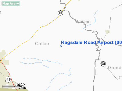
Location & QuickFacts
| FAA Information Effective: | 2008-09-25 |
| Airport Identifier: | 00TN |
| Airport Status: | Operational |
| Longitude/Latitude: | 085-57-12.9450W/35-30-57.2710N
-85.953596/35.515909 (Estimated) |
| Elevation: | 1100 ft / 335.28 m (Estimated) |
| Land: | 0 acres |
| From nearest city: | 7 nautical miles NE of Manchester, TN |
| Location: | Coffee County, TN |
| Magnetic Variation: | 01W (1985) |
Owner & Manager
| Ownership: | Privately owned |
| Owner: | W. D. Lansford |
| Address: | 7233 Ragsdale Rd
Manchester, TN 37355 |
| Phone number: | 615-728-8424 |
| Manager: | W. D. Lansford |
| Address: | 7233 Ragsdale Rd
Manchester, TN 37355 |
| Phone number: | 615-728-8424 |
Airport Operations and Facilities
| Airport Use: | Private |
| Wind indicator: | Yes |
| Segmented Circle: | No |
| Control Tower: | No |
| Landing fee charge: | No |
| Sectional chart: | Atlanta |
| Region: | ASO - Southern |
| Boundary ARTCC: | ZME - Memphis |
| Tie-in FSS: | BNA - Nashville |
| FSS on Airport: | No |
| FSS Toll Free: | 1-800-WX-BRIEF |
Airport Services
| Airframe Repair: | NONE |
| Power Plant Repair: | NONE |
Runway Information
Runway 09/27
| Dimension: | 1800 x 150 ft / 548.6 x 45.7 m |
| Surface: | TURF, |
| |
Runway 09 |
Runway 27 |
| Traffic Pattern: | Left | Left |
| Runway End Identifier: | No | No |
| Touchdown Lights: | No | No |
| Obstruction: | 3 ft fence, 100.0 ft from runway, 7:1 slope to clear | 3 ft fence, 25.0 ft from runway |
|
Radio Navigation Aids
| ID |
Type |
Name |
Ch |
Freq |
Var |
Dist |
| SYI | FAN MARKER | Bomar | | | 01W | 25.1 nm |
| ULH | NDB | Burwi | | 332.00 | 03W | 14.5 nm |
| RN | NDB | Warri | | 209.00 | 02W | 17.0 nm |
| UOS | NDB | Sewanee | | 275.00 | 02E | 18.9 nm |
| BGF | NDB | Boiling Fork | | 263.00 | 02W | 21.1 nm |
| SKN | NDB | Hurricane | | 256.00 | 02W | 29.0 nm |
| APT | NDB | Jasper | | 382.00 | 02W | 32.9 nm |
| HEM | NDB | Huchn | | 233.00 | 02W | 33.6 nm |
| FQW | NDB | Walter Hill | | 371.00 | 02W | 33.6 nm |
| SWZ | NDB | Sewart | | 391.00 | 02W | 36.4 nm |
| TNY | NDB | Kelso | | 358.00 | 01W | 36.9 nm |
| LUG | NDB | Verona | | 251.00 | 00W | 41.9 nm |
| JUE | NDB | Lebanon | | 414.00 | 02W | 44.3 nm |
| CQN | NDB | Daisy | | 341.00 | 02W | 44.3 nm |
| UXM | VOR | Tullahoma Regional | | 109.65 | 03W | 16.5 nm |
| SYI | VOR/DME | Shelbyville | 027X | 109.00 | 01W | 23.9 nm |
| MQY | VOT | Smyrna | | 110.20 | | 40.0 nm |
Images and information placed above are from
http://www.airport-data.com/airport/00TN/
We thank them for the data!
| General Info
|
| Country |
United States
|
| State |
TENNESSEE
|
| FAA ID |
00TN
|
| Latitude |
35-30-57.271N
|
| Longitude |
085-57-12.945W
|
| Elevation |
1100 feet
|
| Near City |
MANCHESTER
|
We don't guarantee the information is fresh and accurate. The data may
be wrong or outdated.
For more up-to-date information please refer to other sources.
|
|


