 |
|
Location & QuickFacts
| FAA Information Effective: | 2008-09-25 |
| Airport Identifier: | 3TN7 |
| Airport Status: | Operational |
| Longitude/Latitude: | 083-38-21.6060W/35-43-27.3230N
-83.639335/35.724256 (Estimated) |
| Elevation: | 1400 ft / 426.72 m (Estimated) |
| Land: | 8 acres |
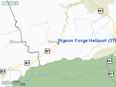
| From nearest city: | 8 nautical miles SW of Pigeon Forge, TN |
| Location: | Shelby County, TN |
| Magnetic Variation: | 03W (1990) |
Owner & Manager
| Ownership: | Privately owned |
| Owner: | Rainbow Hel Charter Inc |
| Address: | 3269 Wears Valley Rd
Sevierville, TN 37862 |
| Phone number: | 615-429-2929 |
| Manager: | Rob Thompson |
| Address: | 3269 Wears Valley Rd
Sevierville, TN 37862 |
| Phone number: | 615-429-2929 |
Airport Operations and Facilities
| Airport Use: | Private |
| Wind indicator: | Yes |
| Segmented Circle: | No |
| Control Tower: | No |
| Sectional chart: | Atlanta |
| Region: | ASO - Southern |
| Boundary ARTCC: | ZTL - Atlanta |
| Tie-in FSS: | BNA - Nashville |
| FSS on Airport: | No |
| FSS Toll Free: | 1-800-WX-BRIEF |
Runway Information
Helipad H1
| Dimension: | 20 x 20 ft / 6.1 x 6.1 m |
| Surface: | CONC, |
| |
Runway H1 |
Runway |
| Traffic Pattern: | Left | Left |
|
Helipad H2
| Dimension: | 20 x 20 ft / 6.1 x 6.1 m |
| Surface: | CONC, |
| |
Runway H2 |
Runway |
| Traffic Pattern: | Left | Left |
|
Radio Navigation Aids
| ID |
Type |
Name |
Ch |
Freq |
Var |
Dist |
| JXT | NDB | Jefferson | | 346.00 | 04W | 24.6 nm |
| MNV | NDB | Madisonville | | 361.00 | 04W | 37.9 nm |
| TTQ | NDB | Tomotla | | 335.00 | 01W | 39.7 nm |
| DYQ | NDB | Dulaney | | 263.00 | 04W | 44.1 nm |
| JAU | NDB | Jacksboro | | 204.00 | 03W | 44.8 nm |
| MMI | NDB | Mc Minn County | | 242.00 | 03W | 49.3 nm |
| VXV | VORTAC | Volunteer | 111X | 116.40 | 03W | 16.5 nm |
| SOT | VORTAC | Snowbird | 025X | 108.80 | 04W | 28.9 nm |
| HRS | VORTAC | Harris | 035X | 109.80 | 00E | 48.9 nm |
| TYS | VOT | Knoxville | | 112.00 | | 18.0 nm |
Remarks
- FREQ 123.25 AVBL.
- VFR, PVT USE; ALL OPNS CONDUCTED IN AREA FROM 060 DEG CLKWS TO 240 DEG; TKOF/LNDG AREA MARKED; WIND INDICATOR MAINTD.
Images and information placed above are from
http://www.airport-data.com/airport/3TN7/
We thank them for the data!
| General Info
|
| Country |
United States
|
| State |
TENNESSEE
|
| FAA ID |
3TN7
|
| Latitude |
35-43-27.323N
|
| Longitude |
083-38-21.606W
|
| Elevation |
1400 feet
|
| Near City |
PIGION FORGE
|
We don't guarantee the information is fresh and accurate. The data may
be wrong or outdated.
For more up-to-date information please refer to other sources.
|
|


