 |
|
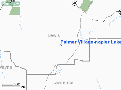
Palmer Village-napier Lake Stolport Airport |
Location & QuickFacts
| FAA Information Effective: | 2008-09-25 |
| Airport Identifier: | TN21 |
| Airport Status: | Operational |
| Longitude/Latitude: | 087-30-22.0000W/35-26-51.2740N
-87.506111/35.447576 (Estimated) |
| Elevation: | 790 ft / 240.79 m (Estimated) |
| Land: | 0 acres |
| From nearest city: | 7 nautical miles SE of Hohenwald, TN |
| Location: | Lewis County, TN |
| Magnetic Variation: | 00E (1985) |
Owner & Manager
| Ownership: | Privately owned |
| Owner: | Harold C Palmer |
| Address: | Box 867
Douglasville, GA 30133 |
| Phone number: | 404-942-4395 |
| Manager: | Harold C. Palmer |
| Address: | Box 867
Douglasville, GA 30133 |
| Phone number: | 404-942-4395 |
Airport Operations and Facilities
| Airport Use: | Private |
| Wind indicator: | Yes |
| Segmented Circle: | No |
| Control Tower: | No |
| Landing fee charge: | No |
| Sectional chart: | Atlanta |
| Region: | ASO - Southern |
| Boundary ARTCC: | ZME - Memphis |
| Tie-in FSS: | MKL - Jackson |
| FSS on Airport: | No |
| FSS Toll Free: | 1-800-WX-BRIEF |
Runway Information
Runway 08/26
| Dimension: | 800 x 80 ft / 243.8 x 24.4 m |
| Surface: | ASPH, |
| |
Runway 08 |
Runway 26 |
| Traffic Pattern: | Left | Left |
|
Radio Navigation Aids
| ID |
Type |
Name |
Ch |
Freq |
Var |
Dist |
| JHG | NDB | Hohenwald | | 257.00 | 01W | 6.1 nm |
| LRT | NDB | Lawrenceburg | | 269.00 | 00E | 17.5 nm |
| PBC | NDB | Maury County | | 365.00 | 01W | 22.5 nm |
| GZS | NDB | Giles/dcmsnd | | 375.00 | 00E | 28.3 nm |
| LUG | NDB | Verona | | 251.00 | 00W | 34.2 nm |
| HHY | NDB | Pinhook | | 346.00 | 01W | 36.1 nm |
| DMZ | NDB | Dickson | | 203.00 | 01W | 41.0 nm |
| AEY | NDB | Waverly | | 329.00 | 00E | 41.8 nm |
| JKS | VOR/DME | Jacks Creek | 031X | 109.40 | 02E | 42.7 nm |
| GHM | VORTAC | Graham | 053X | 111.60 | 03E | 23.4 nm |
| MSL | VORTAC | Muscle Shoals | 112X | 116.50 | 01E | 44.5 nm |
| HSV | VOT | Huntsville | | 111.00 | | 45.6 nm |
Remarks
Images and information placed above are from
http://www.airport-data.com/airport/TN21/
We thank them for the data!
| General Info
|
| Country |
United States
|
| State |
TENNESSEE
|
| FAA ID |
TN21
|
| Latitude |
35-26-51.274N
|
| Longitude |
087-30-22.000W
|
| Elevation |
790 feet
|
| Near City |
HOHENWALD
|
We don't guarantee the information is fresh and accurate. The data may
be wrong or outdated.
For more up-to-date information please refer to other sources.
|
|


