|
|
| Moore-Murrell Airport |
 |
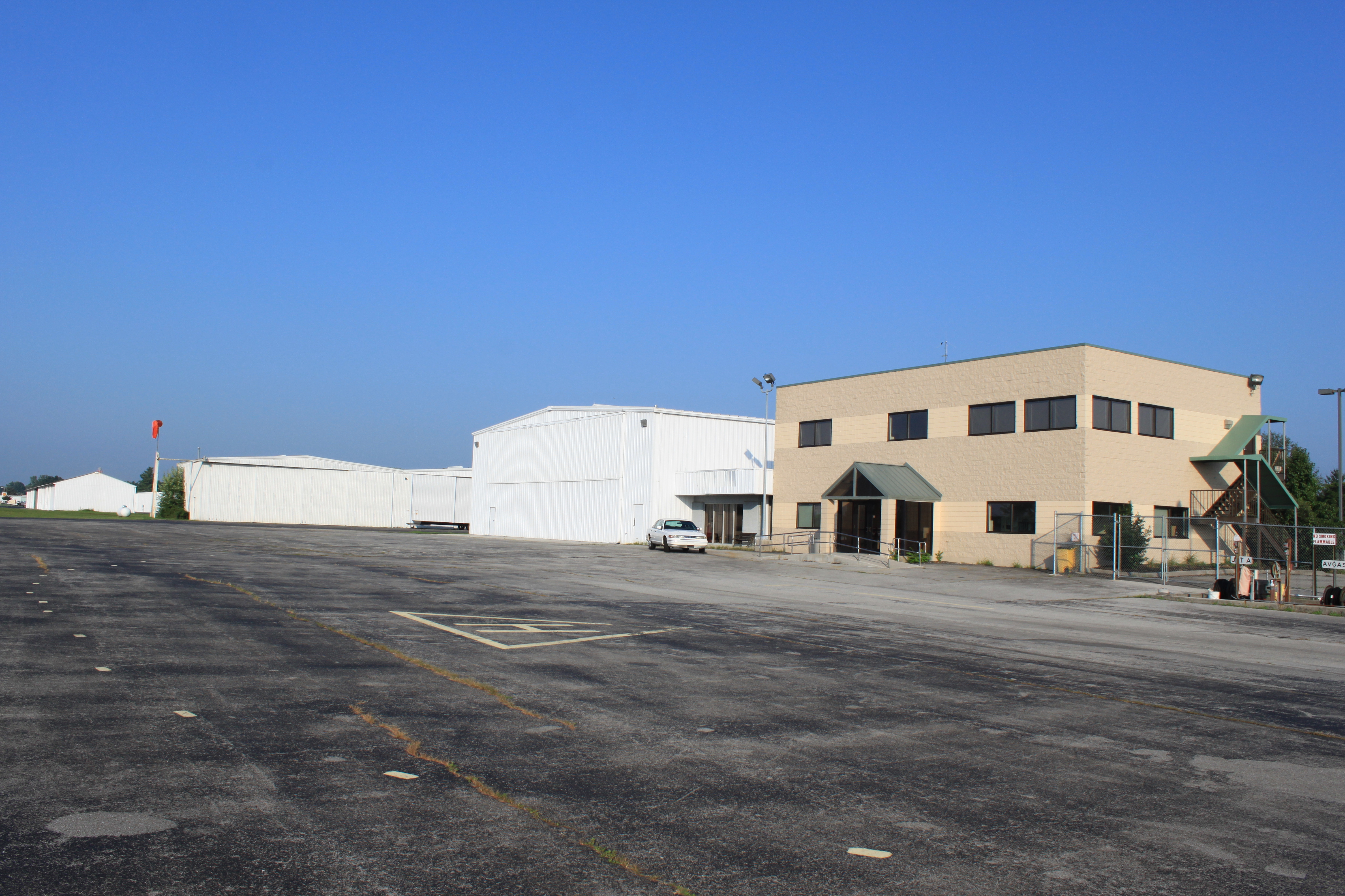
| Hangars, temporary terminal & tarmac area |
| IATA: MOR – ICAO: KMOR – FAA LID: MOR |
| Summary |
| Airport type |
Public |
| Owner |
City of Morristown |
| Serves |
Morristown, Tennessee |
| Elevation AMSL |
1,313 ft / 400 m |
| Coordinates |
36°10′46″N 083°22′32″W / 36.17944°N 83.37556°W / 36.17944; -83.37556 |
| Runways |
| Direction |
Length |
Surface |
| ft |
m |
| 5/23 |
5,701 |
1,738 |
Asphalt |
| Statistics (1998) |
| Aircraft operations |
46,000 |
| Based aircraft |
64 |
| Source: Federal Aviation Administration |
Moore-Murrell Airport (IATA: MOR, ICAO: KMOR, FAA LID: MOR) is a city-owned public-use airport located four miles (6 km) southwest of the central business district of Morristown, a city in Hamblen County, Tennessee, United States. It was opened in 1953. The manager of the airport is Evelyn Johnson. Facilities and aircraft
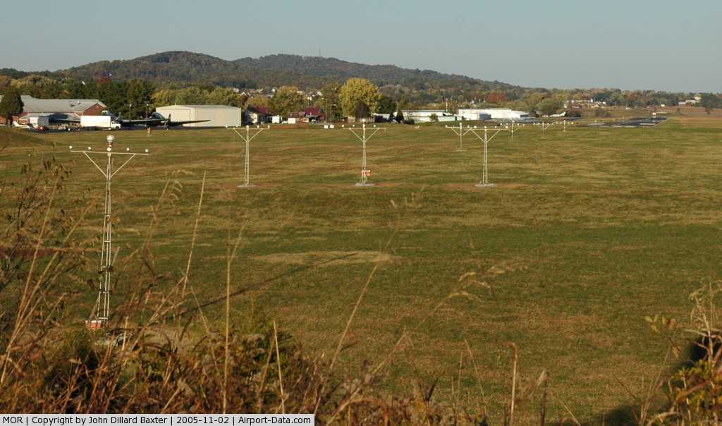
Moore-Murrell Airport covers an area of 160 acres (65 ha) and contains one runway designated 5/23 with a 5,701 x 100 ft (1,738 x 30 m) asphalt pavement. For the 12-month period ending February 24, 1998, the airport had 46,000 aircraft operations, an average of 126 per day: 95% general aviation, 4% air taxi and 1% military. At that time there were 64 aircraft based at this airport: 75% single-engine, 16% multi-engine and 9% jet.
Construction
The original airport terminal building, constructed in 1953, was demolished on April 28, 2009. Airport operations are currently run out of a temporary facility on the east end of the field. A new, more modern terminal is under construction on the site of the original facility. It is expected to open some time in 2010.
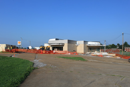 | |
New terminal under construction |
The above content comes from Wikipedia and is published under free licenses – click here to read more.
 |
(Click on the photo to enlarge) |
Location & QuickFacts
| FAA Information Effective: | 2008-09-25 |
| Airport Identifier: | MOR |
| Airport Status: | Operational |
| Longitude/Latitude: | 083-22-31.6180W/36-10-45.8270N
-83.375449/36.179396 (Estimated) |
| Elevation: | 1313 ft / 400.20 m (Surveyed) |
| Land: | 160 acres |
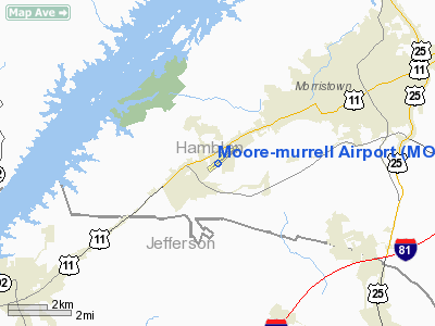
| From nearest city: | 4 nautical miles SW of Morristown, TN |
| Location: | Hamblen County, TN |
| Magnetic Variation: | 04W (1990) |
Owner & Manager
| Ownership: | Publicly owned |
| Owner: | City Of Morristown |
| Address: | City Hall Po Box 1499
Morristown, TN 37816 |
| Phone number: | 423-581-0100 |
| Manager: | Mrs. E. Johnson |
| Address: | Box 1013
Morristown, TN 37816 |
| Phone number: | 423-586-2483 |
Airport Operations and Facilities
| Airport Use: | Open to public |
| Wind indicator: | Yes |
| Segmented Circle: | Yes |
| Control Tower: | No |
| Lighting Schedule: | DUSK-DAWN
ACTVT VASI RY 05 - CTAF. |
| Beacon Color: | Clear-Green (lighted land airport) |
| Landing fee charge: | No |
| Sectional chart: | Cincinnati |
| Region: | ASO - Southern |
| Boundary ARTCC: | ZTL - Atlanta |
| Tie-in FSS: | BNA - Nashville |
| FSS on Airport: | No |
| FSS Toll Free: | 1-800-WX-BRIEF |
| NOTAMs Facility: | BNA (NOTAM-d service avaliable) |
| Federal Agreements: | NGY |
Airport Communications
| CTAF: | 122.800 |
| Unicom: | 122.800 |
Airport Services
| Fuel available: | 100LLA |
| Airframe Repair: | MAJOR |
| Power Plant Repair: | MAJOR |
| Bottled Oxygen: | NONE |
| Bulk Oxygen: | NONE |
Runway Information
Runway 05/23
| Dimension: | 5701 x 100 ft / 1737.7 x 30.5 m |
| Surface: | ASPH, Fair Condition |
| Weight Limit: | Single wheel: 25000 lbs. |
| Edge Lights: | Medium |
| |
Runway 05 |
Runway 23 |
| Longitude: | 083-22-58.0410W | 083-22-05.2250W |
| Latitude: | 36-10-27.4530N | 36-11-04.1180N |
| Elevation: | 1313.00 ft | 1275.00 ft |
| Alignment: | 49 | 127 |
| ILS Type: | SDF/DME
| |
| Traffic Pattern: | Left | Left |
| Markings: | Non-precision instrument, Fair Condition | Non-precision instrument, Fair Condition |
| Crossing Height: | 47.00 ft | 53.00 ft |
| VASI: | 4-box on left side | 2-box on left side |
| Visual Glide Angle: | 3.00° | 3.00° |
| Approach lights: | MALSF
MALSF OTS INDEFLY. | |
| Runway End Identifier: | Yes | Yes |
| Obstruction: | 54 ft pole, 1450.0 ft from runway, 450 ft left of centerline, 23:1 slope to clear | 73 ft bldg, 1900.0 ft from runway, 437 ft right of centerline, 23:1 slope to clear |
|
Radio Navigation Aids
| ID |
Type |
Name |
Ch |
Freq |
Var |
Dist |
| JXT | NDB | Jefferson | | 346.00 | 04W | 6.4 nm |
| DYQ | NDB | Dulaney | | 263.00 | 04W | 23.7 nm |
| RVN | NDB | Rogersville | | 329.00 | 04W | 29.0 nm |
| LQV | NDB | Long Hollow | | 252.00 | 03W | 34.9 nm |
| JAU | NDB | Jacksboro | | 204.00 | 03W | 39.2 nm |
| BO | NDB | Booie | | 221.00 | 04W | 44.6 nm |
| SOT | VORTAC | Snowbird | 025X | 108.80 | 04W | 28.2 nm |
| VXV | VORTAC | Volunteer | 111X | 116.40 | 03W | 30.2 nm |
| TYS | VOT | Knoxville | | 112.00 | | 37.2 nm |
Remarks
- RENTAL CAR AVBL. OUTSIDE PAY PHONE 24HRS.
- DEER ON & INVOF ARPT.
Images and information placed above are from
http://www.airport-data.com/airport/MOR/
We thank them for the data!
| General Info
|
| Country |
United States
|
| State |
TENNESSEE
|
| FAA ID |
MOR
|
| Latitude |
36-10-45.827N
|
| Longitude |
083-22-31.618W
|
| Elevation |
1313 feet
|
| Near City |
MORRISTOWN
|
We don't guarantee the information is fresh and accurate. The data may
be wrong or outdated.
For more up-to-date information please refer to other sources.
|
|