 |
|
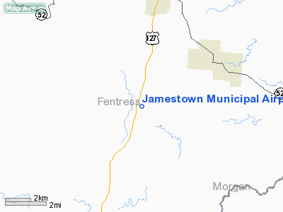
Location & QuickFacts
| FAA Information Effective: | 2008-09-25 |
| Airport Identifier: | 2A1 |
| Airport Status: | Operational |
| Longitude/Latitude: | 084-56-47.9650W/36-20-58.9350N
-84.946657/36.349704 (Estimated) |
| Elevation: | 1694 ft / 516.33 m (Surveyed) |
| Land: | 82 acres |
| From nearest city: | 5 nautical miles S of Jamestown, TN |
| Location: | Fentress County, TN |
| Magnetic Variation: | 02W (1985) |
Owner & Manager
| Ownership: | Publicly owned |
| Owner: | City Of Jamestown |
| Address: | City Hall Po Box 670
Jamestown, TN 38556 |
| Phone number: | 931-879-8815 |
| Manager: | Lonnie Hull |
| Address: | 125 Airport Rd
Jamestown, TN 38556 |
| Phone number: | 931-879-8948
931-879-9901 PAY PHONE 931-879-5685 AFTER HOURS |
Airport Operations and Facilities
| Airport Use: | Open to public |
| Wind indicator: | Yes |
| Segmented Circle: | Yes |
| Control Tower: | No |
| Lighting Schedule: | DUSK-DAWN
ACTVT HIRL RY 18/36 AND REIL RYS 18 & 36 - CTAF. RY 18/36 PAPI ON CONTINUOUSLY. |
| Beacon Color: | Clear-Green (lighted land airport) |
| Landing fee charge: | No |
| Sectional chart: | Cincinnati |
| Region: | ASO - Southern |
| Boundary ARTCC: | ZID - Indianapolis |
| Tie-in FSS: | BNA - Nashville |
| FSS on Airport: | No |
| FSS Toll Free: | 1-800-WX-BRIEF |
| NOTAMs Facility: | BNA (NOTAM-d service avaliable) |
| Federal Agreements: | NGY |
Airport Communications
| CTAF: | 122.800 |
| Unicom: | 122.800 |
Airport Services
| Fuel available: | 100LL |
| Airframe Repair: | NONE |
| Power Plant Repair: | NONE |
| Bottled Oxygen: | NONE |
| Bulk Oxygen: | NONE |
Runway Information
Runway 18/36
| Dimension: | 3498 x 75 ft / 1066.2 x 22.9 m |
| Surface: | ASPH, Good Condition |
| Weight Limit: | Single wheel: 17000 lbs.
Dual wheel: 22000 lbs. |
| Edge Lights: | High |
| |
Runway 18 |
Runway 36 |
| Longitude: | 084-56-47.8330W | 084-56-48.1010W |
| Latitude: | 36-21-16.2300N | 36-20-41.6440N |
| Elevation: | 1694.00 ft | 1678.00 ft |
| Alignment: | 127 | 0 |
| Traffic Pattern: | Left | Left |
| Markings: | Basic, Good Condition | Basic, Good Condition |
| Crossing Height: | 0.00 ft | 22.00 ft |
| VASI: | 4-light PAPI on left side | 4-light PAPI on left side |
| Visual Glide Angle: | 0.00° | 4.00° |
| Runway End Identifier: | Yes | Yes |
|
Radio Navigation Aids
| ID |
Type |
Name |
Ch |
Freq |
Var |
Dist |
| BPO | NDB | Piney Grove | | 403.00 | 05W | 25.5 nm |
| EKQ | NDB | Elk Spring | | 290.00 | 03W | 30.8 nm |
| HEM | NDB | Huchn | | 233.00 | 02W | 37.9 nm |
| JAU | NDB | Jacksboro | | 204.00 | 03W | 38.0 nm |
| CDX | NDB | Cumberland River | | 388.00 | 05E | 40.9 nm |
| SKN | NDB | Hurricane | | 256.00 | 02W | 47.2 nm |
| LVT | VORTAC | Livingston | 021X | 108.40 | 02W | 17.7 nm |
| HCH | VORTAC | Hinch Mountain | 123X | 117.60 | 02W | 34.2 nm |
Remarks
- RY 36 TREES IN PRIMARY SFC.
- PARACHUTE ACTIVITY INVOF ARPT
- VFR OPERNS ONLY.
Images and information placed above are from
http://www.airport-data.com/airport/2A1/
We thank them for the data!
| General Info
|
| Country |
United States
|
| State |
TENNESSEE
|
| FAA ID |
2A1
|
| Latitude |
36-20-58.950N
|
| Longitude |
084-56-47.921W
|
| Elevation |
1694 feet
|
| Near City |
JAMESTOWN
|
We don't guarantee the information is fresh and accurate. The data may
be wrong or outdated.
For more up-to-date information please refer to other sources.
|
|


