 |
|
Location & QuickFacts
| FAA Information Effective: | 2008-09-25 |
| Airport Identifier: | TN06 |
| Airport Status: | Operational |
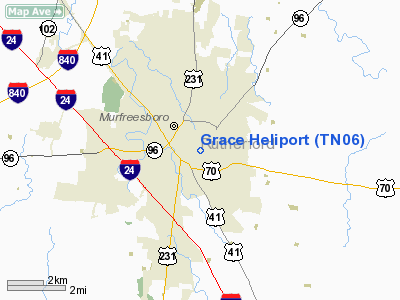
| Longitude/Latitude: | 086-22-47.0000W/35-50-48.0000N
-86.379722/35.846667 (Estimated) |
| Elevation: | 631 ft / 192.33 m (Estimated) |
| Land: | 1 acres |
| From nearest city: | 0 nautical miles N of Murfreesboro, TN |
| Location: | Rutherford County, TN |
| Magnetic Variation: | () |
Owner & Manager
| Ownership: | Privately owned |
| Owner: | City Of Murfreesboro |
| Address: | 701 East Main Street
Murfreesboro, TN 37133-4145 |
| Phone number: | 615-848-3254 |
| Manager: | City Of Murfreesboro |
| Address: | Po Box 4145
Murfreesboro, TN 37133-4145 |
| Phone number: | 615-848-3254 |
Airport Operations and Facilities
| Airport Use: | Private
MEDICAL USE. |
| Wind indicator: | Yes |
| Segmented Circle: | No |
| Control Tower: | No |
| Lighting Schedule: | RDO-CTL
ACTVT PERIMETER LIGHTS 123.05. |
| Beacon Color: | Clear-Green-Yellow (heliport) |
| Sectional chart: | Atlanta |
| Region: | ASO - Southern |
| Boundary ARTCC: | ZME - Memphis |
| Tie-in FSS: | BNA - Nashville |
| FSS Toll Free: | 1-800-WX-BRIEF |
Airport Communications
Runway Information
Helipad H1
| Dimension: | 50 x 50 ft / 15.2 x 15.2 m |
| Surface: | CONC, |
| |
Runway H1 |
Runway |
| Traffic Pattern: | Left | Left |
|
Radio Navigation Aids
| ID |
Type |
Name |
Ch |
Freq |
Var |
Dist |
| SYI | FAN MARKER | Bomar | | | 01W | 22.2 nm |
| FQW | NDB | Walter Hill | | 371.00 | 02W | 6.9 nm |
| SWZ | NDB | Sewart | | 391.00 | 02W | 7.8 nm |
| JUE | NDB | Lebanon | | 414.00 | 02W | 21.0 nm |
| ULH | NDB | Burwi | | 332.00 | 03W | 24.1 nm |
| VI | NDB | Opery | | 344.00 | 02W | 25.2 nm |
| SKN | NDB | Hurricane | | 256.00 | 02W | 29.0 nm |
| LUG | NDB | Verona | | 251.00 | 00W | 29.6 nm |
| RN | NDB | Warri | | 209.00 | 02W | 30.5 nm |
| PBC | NDB | Maury County | | 365.00 | 01W | 37.6 nm |
| HEM | NDB | Huchn | | 233.00 | 02W | 39.5 nm |
| BGF | NDB | Boiling Fork | | 263.00 | 02W | 43.0 nm |
| LFB | NDB | Lafayette | | 245.00 | 02W | 43.1 nm |
| TNY | NDB | Kelso | | 358.00 | 01W | 43.6 nm |
| UOS | NDB | Sewanee | | 275.00 | 02E | 45.3 nm |
| ON | NDB | Music | | 279.00 | 03W | 46.9 nm |
| PED | NDB | Needmore | | 221.00 | 01W | 49.0 nm |
| UXM | VOR | Tullahoma Regional | | 109.65 | 03W | 28.8 nm |
| SYI | VOR/DME | Shelbyville | 027X | 109.00 | 01W | 17.4 nm |
| BNA | VORTAC | Nashville | 088X | 114.10 | 02W | 22.9 nm |
| MQY | VOT | Smyrna | | 110.20 | | 11.5 nm |
| BNA | VOT | Nashville Metropoln | | 108.60 | | 22.3 nm |
Remarks
- SEE AIRSPACE CASE 00-ASO-1155-NRA.
Images and information placed above are from
http://www.airport-data.com/airport/TN06/
We thank them for the data!
|
|


