|
|
| Fayette County Airport |
| IATA: none – ICAO: KFYE – FAA LID: FYE |
| Summary |
| Airport type |
Public |
| Owner |
Fayette County |
| Serves |
Somerville, Tennessee |
| Elevation AMSL |
436 ft / 133 m |
| Coordinates |
35°12′28″N 089°23′40″W / 35.20778°N 89.39444°W / 35.20778; -89.39444 |
| Runways |
| Direction |
Length |
Surface |
| ft |
m |
| 1/19 |
5,000 |
1,524 |
Asphalt |
| Statistics (2007) |
| Aircraft operations |
10,166 |
| Based aircraft |
40 |
| Source: Federal Aviation Administration |
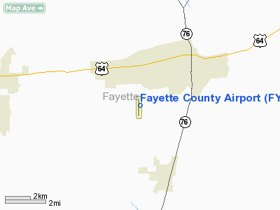
Fayette County Airport (ICAO: KFYE, FAA LID: FYE) is a county-owned, public-use airport located two nautical miles (3.7 km) southwest of the central business district of Somerville, in Fayette County, Tennessee, United States. According to the FAA's National Plan of Integrated Airport Systems for 2009–2013, it was classified as a general aviation airport.
Although most U.S. airports use the same three-letter location identifier for the FAA and IATA, this airport is assigned FYE by the FAA but has no designation from the IATA.
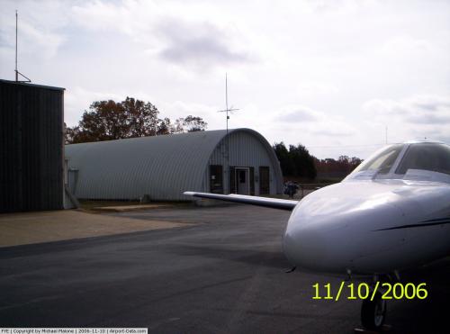
Facilities and aircraft
Fayette County Airport covers an area of 138 acres (56 ha) at an elevation of 436 feet (133 m) above mean sea level. It has one runway designated 1/19 with an asphalt surface measuring 5,000 by 75 feet (1,524 x 23 m).
For the 12-month period ending August 4, 2007, the airport had 10,166 aircraft operations, an average of 27 per day: 99% general aviation, 1% air taxi, and <1% military. At that time there were 40 aircraft based at this airport: 95% single-engine and 5% multi-engine.
The above content comes from Wikipedia and is published under free licenses – click here to read more.
 |
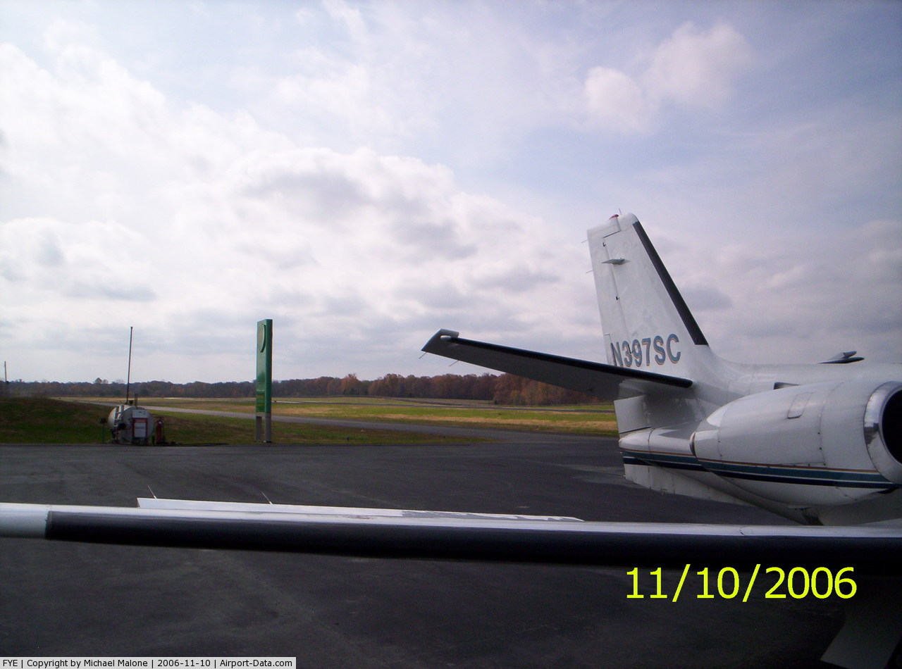
(Click on the photo to enlarge) |
 |
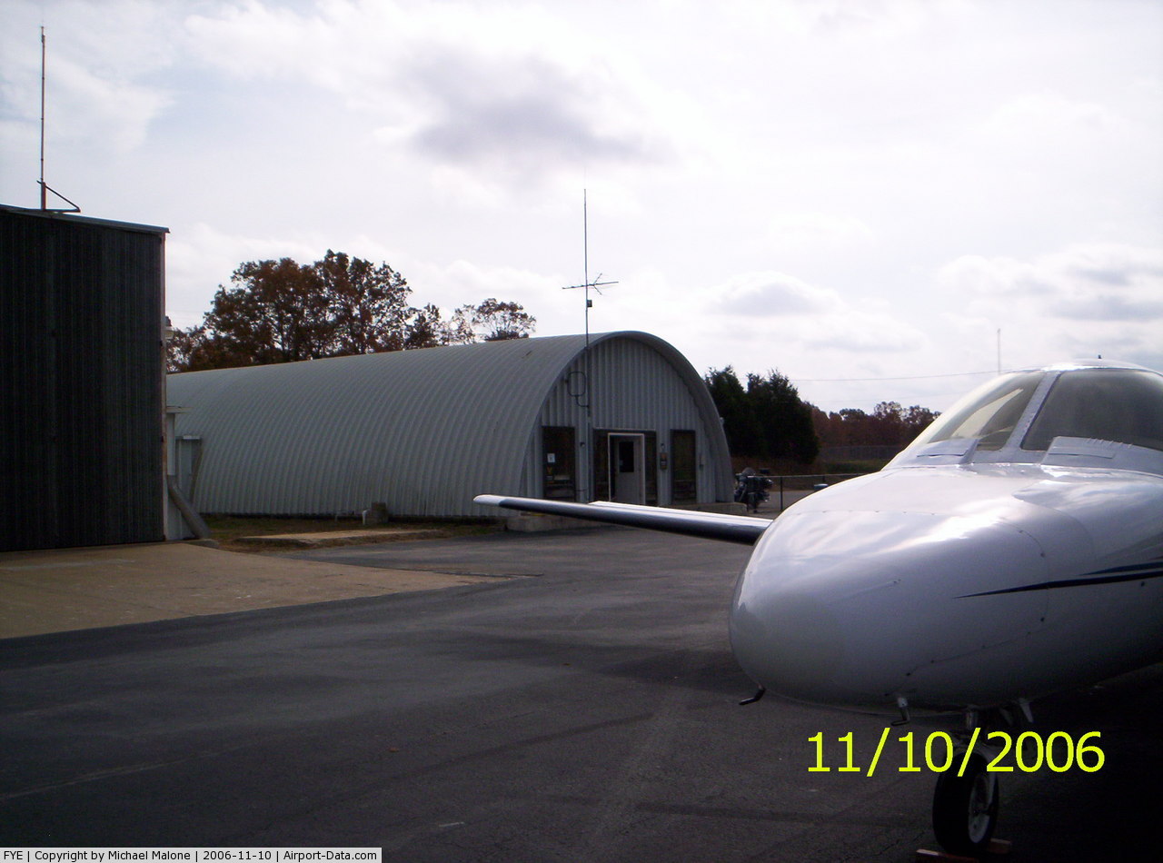
(Click on the photo to enlarge) |
Location & QuickFacts
| FAA Information Effective: | 2008-09-25 |
| Airport Identifier: | FYE |
| Airport Status: | Operational |
| Longitude/Latitude: | 089-23-40.0490W/35-12-27.7400N
-89.394458/35.207706 (Estimated) |
| Elevation: | 436 ft / 132.89 m (Estimated) |
| Land: | 138 acres |
| From nearest city: | 2 nautical miles SW of Somerville, TN |
| Location: | Fayette County, TN |
| Magnetic Variation: | 00E (2000) |
Owner & Manager
| Ownership: | Publicly owned |
| Owner: | Fayette County |
| Address: | County Courthouse/room 204
Somerville, TN 38068 |
| Phone number: | 901-465-5202 |
| Manager: | Mark Fidler |
| Address: | 1075 Airport Road
Somerville, TN 38068 |
| Phone number: | 901-466-7007
ALTERNATE AMGR PHONE NUMBERS 901-299-1777 OR 901-465-9041. |
Airport Operations and Facilities
| Airport Use: | Open to public |
| Wind indicator: | Yes |
| Segmented Circle: | Yes |
| Control Tower: | No |
| Lighting Schedule: | DUSK-DAWN |
| Beacon Color: | Clear-Green (lighted land airport) |
| Sectional chart: | Memphis |
| Region: | ASO - Southern |
| Boundary ARTCC: | ZME - Memphis |
| Tie-in FSS: | MKL - Jackson |
| FSS on Airport: | No |
| FSS Toll Free: | 1-800-WX-BRIEF |
| NOTAMs Facility: | MKL (NOTAM-d service avaliable) |
| Federal Agreements: | NGY |
Airport Communications
Airport Services
| Fuel available: | 100LL |
| Airframe Repair: | MINOR
AIRFRAME REPAIRS AVBL ON CALL ONLY - CALL AHEAD PHONE 901-466-7007. |
| Power Plant Repair: | MINOR
PWR PLANT REPAIRS AVBL ON CALL ONLY - CALL AHEAD PHONE 901-466-7007. |
| Bulk Oxygen: | NONE |
Runway Information
Runway 01/19
| Dimension: | 5000 x 75 ft / 1524.0 x 22.9 m |
| Surface: | ASPH, Good Condition |
| Weight Limit: | Single wheel: 30000 lbs. |
| Edge Lights: | Medium |
| |
Runway 01 |
Runway 19 |
| Longitude: | 089-23-44.1362W | 089-23-35.9620W |
| Latitude: | 35-12-03.2422N | 35-12-52.2365N |
| Elevation: | 436.00 ft | 423.00 ft |
| Alignment: | 8 | 127 |
| Traffic Pattern: | Left | Left |
| Markings: | Non-precision instrument, Good Condition | Non-precision instrument, Good Condition |
| Crossing Height: | 20.00 ft | 31.00 ft |
| VASI: | 2-light PAPI on left side | 2-light PAPI on left side |
| Visual Glide Angle: | 3.00° | 3.07° |
| Runway End Identifier: | Yes | Yes |
| Obstruction: | 34 ft trees, 627.0 ft from runway, 95 ft right of centerline, 13:1 slope to clear | 81 ft trees, 2304.0 ft from runway, 224 ft left of centerline, 26:1 slope to clear |
|
Radio Navigation Aids
| ID |
Type |
Name |
Ch |
Freq |
Var |
Dist |
| FYE | NDB | Somerville | | 255.00 | 00E | 0.1 nm |
| BAV | NDB | Hardeman | | 404.00 | 01E | 17.3 nm |
| OLV | NDB | Olive Branch | | 275.00 | 01E | 23.7 nm |
| COO | NDB | Covington | | 326.00 | 02E | 24.8 nm |
| MIG | NDB | Millington | | 232.00 | 04E | 26.8 nm |
| SPQ | NDB | Spain | | 414.00 | 04E | 32.3 nm |
| ME | NDB | Elvis | | 287.00 | 01E | 34.4 nm |
| AWM | NDB | West Memphis | | 362.00 | 01E | 41.4 nm |
| BPW | NDB | Osceola | | 239.00 | 02E | 42.0 nm |
| SZY | NDB | Sibley | | 386.00 | 01E | 43.2 nm |
| DNT | NDB | Nally Dunston | | 343.00 | 01W | 47.3 nm |
| IUI | NDB | Hicks | | 350.00 | 01E | 48.9 nm |
| MKL | VOR/DME | Mc Kellar | 057X | 112.00 | 02E | 33.6 nm |
| HLI | VORTAC | Holly Springs | 071X | 112.40 | 03E | 26.8 nm |
| MEM | VORTAC | Memphis | 122X | 117.50 | 01E | 31.2 nm |
| DYR | VORTAC | Dyersburg | 115X | 116.80 | 03E | 48.9 nm |
| MEM | VOT | Memphis Metropolitn | | 111.00 | | 30.3 nm |
Remarks
- AEROBATIC ACTIVITY INVOF ARPT. IF SURFACE WINDS FAVOR RY 01, RIGHT TRAFFIC FOR THAT RUNWAY IS IN EFFECT WHEN AEROBATIC AREA IS ACTIVE.
- VFR ONLY.
Images and information placed above are from
http://www.airport-data.com/airport/FYE/
We thank them for the data!
| General Info
|
| Country |
United States
|
| State |
TENNESSEE
|
| FAA ID |
FYE
|
| Latitude |
35-12-21.312N
|
| Longitude |
089-23-39.900W
|
| Elevation |
436 feet
|
| Near City |
SOMERVILLE
|
We don't guarantee the information is fresh and accurate. The data may
be wrong or outdated.
For more up-to-date information please refer to other sources.
|
|