 |
|
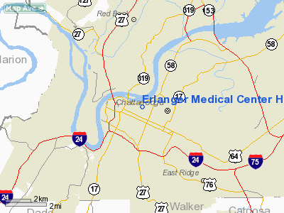
Erlanger Medical Center Heliport |
Location & QuickFacts
| FAA Information Effective: | 2008-09-25 |
| Airport Identifier: | 0TN8 |
| Airport Status: | Operational |
| Longitude/Latitude: | 085-17-25.8460W/35-02-57.2650N
-85.290513/35.049240 (Estimated) |
| Elevation: | 745 ft / 227.08 m (Estimated) |
| Land: | 0 acres |
| From nearest city: | 0 nautical miles E of Chattanooga, TN |
| Location: | Hamilton County, TN |
| Magnetic Variation: | 02W (1980) |
Owner & Manager
| Ownership: | Privately owned |
| Owner: | Chat/ham County Hospital Auth |
| Address: | 975 E 3rd St
Chattanooga, TN 37403 |
| Phone number: | 423-778-5433 |
| Manager: | Steve Straughen |
| Address: | 975 E 3rd St
Chattanooga, TN 37403 |
| Phone number: | 423-778-5423 |
Airport Operations and Facilities
| Airport Use: | Private
MEDICAL. |
| Wind indicator: | Yes |
| Segmented Circle: | No |
| Control Tower: | No |
| Lighting Schedule: | PHONE REQ
FOR ROTG BCN; PERIMETER & FLOOD LGTS AND PVASI CALL 615-778-5433. |
| Beacon Color: | Clear-Green (lighted land airport) |
| Sectional chart: | Atlanta |
| Region: | ASO - Southern |
| Boundary ARTCC: | ZTL - Atlanta |
| Tie-in FSS: | BNA - Nashville |
| FSS on Airport: | No |
| FSS Toll Free: | 1-800-WX-BRIEF |
Runway Information
Helipad H1
| Dimension: | 75 x 75 ft / 22.9 x 22.9 m |
| Surface: | CONC, Good Condition |
| |
Runway H1 |
Runway |
| Traffic Pattern: | Left | Left |
|
Radio Navigation Aids
| ID |
Type |
Name |
Ch |
Freq |
Var |
Dist |
| CQN | NDB | Daisy | | 341.00 | 02W | 9.6 nm |
| APT | NDB | Jasper | | 382.00 | 02W | 14.5 nm |
| HDI | NDB | Hardwick | | 369.00 | 01W | 19.9 nm |
| UWI | NDB | Whitfield | | 400.00 | 03W | 23.1 nm |
| UOS | NDB | Sewanee | | 275.00 | 02E | 31.2 nm |
| DTE | NDB | Mark Anton | | 394.00 | 02W | 31.4 nm |
| FTP | NDB | Fort Payne | | 426.00 | 01W | 36.9 nm |
| BGF | NDB | Boiling Fork | | 263.00 | 02W | 39.0 nm |
| MMI | NDB | Mc Minn County | | 242.00 | 03W | 41.4 nm |
| OUK | NDB | Calhoun | | 323.00 | 02W | 42.9 nm |
| OYD | NDB | Floyd | | 388.00 | 02W | 45.5 nm |
| RN | NDB | Warri | | 209.00 | 02W | 48.2 nm |
| GQO | VORTAC | Choo Choo | 105X | 115.80 | 01E | 8.6 nm |
| HCH | VORTAC | Hinch Mountain | 123X | 117.60 | 02W | 46.6 nm |
Remarks
- PRVDD VFR PVT USE ONLY. APCH/DEP ROUTES APPROVED FOR IFR OPS 355-040.
Images and information placed above are from
http://www.airport-data.com/airport/0TN8/
We thank them for the data!
| General Info
|
| Country |
United States
|
| State |
TENNESSEE
|
| FAA ID |
0TN8
|
| Latitude |
35-02-57.265N
|
| Longitude |
085-17-25.846W
|
| Elevation |
745 feet
|
| Near City |
CHATTANOOGA
|
We don't guarantee the information is fresh and accurate. The data may
be wrong or outdated.
For more up-to-date information please refer to other sources.
|
|


