 |
|
Location & QuickFacts
| FAA Information Effective: | 2008-09-25 |
| Airport Identifier: | 9SD9 |
| Airport Status: | Operational |
| Longitude/Latitude: | 096-42-32.1790W/43-48-23.9040N
-96.708939/43.806640 (Estimated) |
| Elevation: | 1553 ft / 473.35 m (Estimated) |
| Land: | 19 acres |
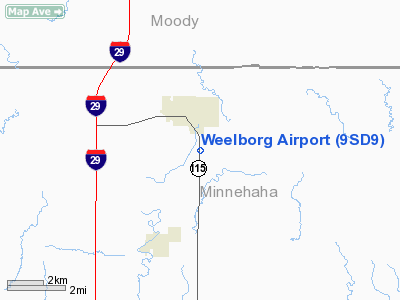
| From nearest city: | 2 nautical miles S of Dell Rapids, SD |
| Location: | Minnehaha County, SD |
| Magnetic Variation: | 06E (1985) |
Owner & Manager
| Ownership: | Privately owned |
| Owner: | Jean Weelborg |
| Address: | 613 N. Clark Ave
Dell Rapids, SD 57022-1647 |
| Phone number: | 605-428-3469 |
| Manager: | Jean Weelborg |
| Address: | 613 N. Clark Ave
Dell Rapids, SD 57022-1647 |
| Phone number: | 605-428-3469 |
Airport Operations and Facilities
| Airport Use: | Private |
| Wind indicator: | Yes |
| Segmented Circle: | No |
| Control Tower: | No |
| Landing fee charge: | No |
| Sectional chart: | Omaha |
| Region: | AGL - Great Lakes |
| Boundary ARTCC: | ZMP - Minneapolis |
| Tie-in FSS: | HON - Huron |
| FSS on Airport: | No |
| FSS Toll Free: | 1-800-WX-BRIEF |
Airport Communications
Airport Services
| Airframe Repair: | MAJOR |
| Power Plant Repair: | MAJOR |
| Bottled Oxygen: | NONE |
| Bulk Oxygen: | NONE |
Runway Information
Runway 17/35
| Dimension: | 3500 x 70 ft / 1066.8 x 21.3 m
APRXLY 400'EMERG DIRT OVRN ON SOUTH END OF RWY. |
| Surface: | ASPH, |
| Weight Limit: | Single wheel: 5000 lbs. |
| |
Runway 17 |
Runway 35 |
| Traffic Pattern: | Left | Left |
| Markings: | None, | None, |
| Touchdown Lights: | No | No |
|
Radio Navigation Aids
| ID |
Type |
Name |
Ch |
Freq |
Var |
Dist |
| FS | NDB | Rokky | | 245.00 | 06E | 19.5 nm |
| MDS | NDB | Wentworth | | 400.00 | 05E | 20.6 nm |
| SOY | NDB | Sioux Center | | 368.00 | 06E | 46.4 nm |
| ISB | NDB | Sibley | | 269.00 | 05E | 49.3 nm |
| PQN | NDB/DME | Pipestone | 028X | 284.00 | 06E | 20.9 nm |
| BKX | VOR/DME | Brookings | 025X | 108.80 | 06E | 30.2 nm |
| OTG | VOR/DME | Worthington | 043X | 110.60 | 08E | 49.9 nm |
| FSD | VORTAC | Sioux Falls | 097X | 115.00 | 09E | 10.0 nm |
Remarks
- CAUTION: NMRS OBSTNS PENT 7:1 TRSN SFC ON WEST EDGE OF RWY 17/35.
- EXISTED PRIOR TO 1959.
Images and information placed above are from
http://www.airport-data.com/airport/9SD9/
We thank them for the data!
| General Info
|
| Country |
United States
|
| State |
SOUTH DAKOTA
|
| FAA ID |
9SD9
|
| Latitude |
43-48-23.904N
|
| Longitude |
096-42-32.179W
|
| Elevation |
1553 feet
|
| Near City |
DELL RAPIDS
|
We don't guarantee the information is fresh and accurate. The data may
be wrong or outdated.
For more up-to-date information please refer to other sources.
|
|


