 |
|
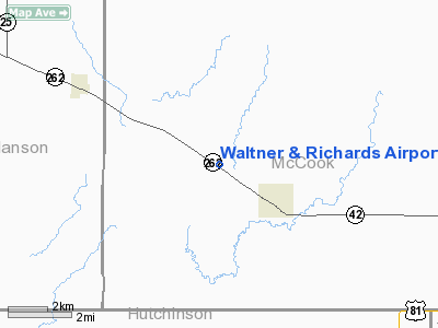
Waltner & Richards Airport |
Location & QuickFacts
| FAA Information Effective: | 2008-09-25 |
| Airport Identifier: | SD42 |
| Airport Status: | Operational |
| Longitude/Latitude: | 097-32-01.2380W/43-33-59.9340N
-97.533677/43.566648 (Estimated) |
| Elevation: | 1403 ft / 427.63 m (Surveyed) |
| Land: | 0 acres |
| From nearest city: | 2 nautical miles NW of Bridgewater, SD |
| Location: | Mc Cook County, SD |
| Magnetic Variation: | 07E (1985) |
Owner & Manager
| Ownership: | Privately owned |
| Owner: | Lonnie L. Waltner |
| Address: | Box 306
Bridgewater, SD 57319 |
| Phone number: | 605-729-2332 |
| Address: |
|
Airport Operations and Facilities
| Airport Use: | Private |
| Wind indicator: | Yes |
| Segmented Circle: | No |
| Control Tower: | No |
| Lighting Schedule: | PHONE REQ
FOR RWY LGTS & LGTD WIND-T CALL 605-729-2332. |
| Landing fee charge: | No |
| Sectional chart: | Omaha |
| Region: | AGL - Great Lakes |
| Boundary ARTCC: | ZMP - Minneapolis |
| Tie-in FSS: | HON - Huron |
| FSS on Airport: | No |
| FSS Toll Free: | 1-800-WX-BRIEF |
Airport Services
| Airframe Repair: | NONE |
| Power Plant Repair: | NONE |
Runway Information
Runway NW/SE
| Dimension: | 2500 x 110 ft / 762.0 x 33.5 m |
| Surface: | TURF, |
| Edge Lights: | Medium |
| |
Runway NW |
Runway SE |
| Traffic Pattern: | Left | Left |
| Obstruction: | 40 ft poles | |
|
Radio Navigation Aids
| ID |
Type |
Name |
Ch |
Freq |
Var |
Dist |
| FS | NDB | Rokky | | 245.00 | 06E | 31.0 nm |
| MDS | NDB | Wentworth | | 400.00 | 05E | 33.1 nm |
| AGZ | NDB | Wagner | | 392.00 | 08E | 44.9 nm |
| MHE | VOR/DME | Mitchell | 029X | 109.20 | 07E | 25.3 nm |
| YKN | VOR/DME | Yankton | 051X | 111.40 | 07E | 39.5 nm |
| FSD | VORTAC | Sioux Falls | 097X | 115.00 | 09E | 33.1 nm |
Remarks
- FILED FOR RECORD PURPOSES ONLY.
Images and information placed above are from
http://www.airport-data.com/airport/SD42/
We thank them for the data!
| General Info
|
| Country |
United States
|
| State |
SOUTH DAKOTA
|
| FAA ID |
SD42
|
| Latitude |
43-33-59.934N
|
| Longitude |
097-32-01.238W
|
| Elevation |
1403 feet
|
| Near City |
BRIDGEWATER
|
We don't guarantee the information is fresh and accurate. The data may
be wrong or outdated.
For more up-to-date information please refer to other sources.
|
|


