 |
|
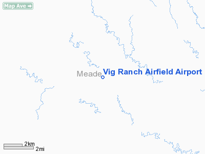
Vig Ranch Airfield Airport |
Location & QuickFacts
| FAA Information Effective: | 2008-09-25 |
| Airport Identifier: | SD72 |
| Airport Status: | Operational |
| Longitude/Latitude: | 102-35-01.5960W/44-50-59.9580N
-102.583777/44.849988 (Estimated) |
| Elevation: | 2600 ft / 792.48 m (Estimated) |
| Land: | 0 acres |
| From nearest city: | 4 nautical miles SW of Opal, SD |
| Location: | Meade County, SD |
| Magnetic Variation: | 11E (1985) |
Owner & Manager
| Ownership: | Privately owned |
| Owner: | Cecil Vig |
| Address: |
Mud Butte, SD 57758 |
| Phone number: | 605-967-2357 |
| Manager: | Merle E. Vig |
| Address: |
Faith, SD 57626 |
| Phone number: | 605-967-2357 |
Airport Operations and Facilities
| Airport Use: | Private |
| Wind indicator: | Yes |
| Segmented Circle: | No |
| Control Tower: | No |
| Lighting Schedule: | PHONE REQ
FOR LIRL RWYS 13/31 & 18/36 CALL 605-967-2357. |
| Landing fee charge: | No |
| Sectional chart: | Billings |
| Region: | AGL - Great Lakes |
| Boundary ARTCC: | ZDV - Denver |
| Tie-in FSS: | HON - Huron |
| FSS on Airport: | No |
| FSS Toll Free: | 1-800-WX-BRIEF |
Airport Services
| Fuel available: | 80 |
| Airframe Repair: | NONE |
| Power Plant Repair: | NONE |
Runway Information
Runway 13/31
| Dimension: | 800 x 50 ft / 243.8 x 15.2 m |
| Surface: | TURF, |
| Edge Lights: | Low |
| |
Runway 13 |
Runway 31 |
| Traffic Pattern: | Left | Left |
|
Runway 18/36
| Dimension: | 1300 x 50 ft / 396.2 x 15.2 m |
| Surface: | TURF, |
| Edge Lights: | Low |
| |
Runway 18 |
Runway 36 |
| Traffic Pattern: | Left | Left |
|
Radio Navigation Aids
| ID |
Type |
Name |
Ch |
Freq |
Var |
Dist |
| RCA | TACAN | Ellsworth | 025X | | 11E | 48.2 nm |
| DPR | VORTAC | Dupree | 115X | 116.80 | 10E | 39.4 nm |
Remarks
- 1/4 MILE FROM RANCH BLDGS. 1 HGR AVBL AT FLD.
- EXISTED PRIOR TO 1959.
Images and information placed above are from
http://www.airport-data.com/airport/SD72/
We thank them for the data!
| General Info
|
| Country |
United States
|
| State |
SOUTH DAKOTA
|
| FAA ID |
SD72
|
| Latitude |
44-50-59.958N
|
| Longitude |
102-35-01.596W
|
| Elevation |
2600 feet
|
| Near City |
OPAL
|
We don't guarantee the information is fresh and accurate. The data may
be wrong or outdated.
For more up-to-date information please refer to other sources.
|
|


