 |
|
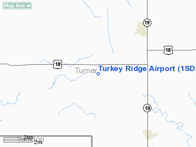
Location & QuickFacts
| FAA Information Effective: | 2008-09-25 |
| Airport Identifier: | 1SD3 |
| Airport Status: | Operational |
| Longitude/Latitude: | 097-09-01.1950W/43-13-59.9520N
-97.150332/43.233320 (Estimated) |
| Elevation: | 1325 ft / 403.86 m (Estimated) |
| Land: | 25 acres |
| From nearest city: | 5 nautical miles SW of Hurley, SD |
| Location: | Turner County, SD |
| Magnetic Variation: | 06E (1985) |
Owner & Manager
| Ownership: | Privately owned |
| Owner: | James And Daniel Mettler |
| Address: | Turkey Ridge Ag-service
Hurley, SD 57036 |
| Phone number: | 605-327-3261 |
| Manager: | James And Daniel Mettler |
| Address: | Turkey Ridge Ag-service
Hurley, SD 57036 |
| Phone number: | 605-327-3261 |
Airport Operations and Facilities
| Airport Use: | Private |
| Wind indicator: | Yes |
| Segmented Circle: | No |
| Control Tower: | No |
| Landing fee charge: | No |
| Sectional chart: | Omaha |
| Region: | AGL - Great Lakes |
| Boundary ARTCC: | ZMP - Minneapolis |
| Tie-in FSS: | HON - Huron |
| FSS on Airport: | No |
| FSS Toll Free: | 1-800-WX-BRIEF |
Airport Services
Runway Information
Runway 08/26
| Dimension: | 5300 x 150 ft / 1615.4 x 45.7 m |
| Surface: | TURF, |
| |
Runway 08 |
Runway 26 |
| Traffic Pattern: | Left | Left |
| Obstruction: | | 30 ft pline, 0.0 ft from runway |
|
Radio Navigation Aids
| ID |
Type |
Name |
Ch |
Freq |
Var |
Dist |
| FS | NDB | Rokky | | 245.00 | 06E | 21.1 nm |
| VMR | NDB | Vermillion | | 375.00 | 06E | 29.8 nm |
| SOY | NDB | Sioux Center | | 368.00 | 06E | 42.5 nm |
| MDS | NDB | Wentworth | | 400.00 | 05E | 47.0 nm |
| ORC | NDB | Orange City | | 521.00 | 05E | 50.0 nm |
| YKN | VOR/DME | Yankton | 051X | 111.40 | 07E | 21.6 nm |
| FSD | VORTAC | Sioux Falls | 097X | 115.00 | 09E | 29.8 nm |
Remarks
- FILED FOR RECORD PURPOSES ONLY.
Images and information placed above are from
http://www.airport-data.com/airport/1SD3/
We thank them for the data!
| General Info
|
| Country |
United States
|
| State |
SOUTH DAKOTA
|
| FAA ID |
1SD3
|
| Latitude |
43-13-59.952N
|
| Longitude |
097-09-01.195W
|
| Elevation |
1325 feet
|
| Near City |
HURLEY
|
We don't guarantee the information is fresh and accurate. The data may
be wrong or outdated.
For more up-to-date information please refer to other sources.
|
|


