 |
|
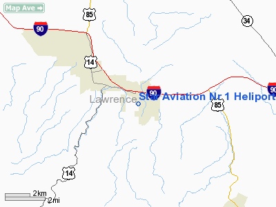
Star Aviation Nr 1 Heliport |
Location & QuickFacts
| FAA Information Effective: | 2008-09-25 |
| Airport Identifier: | SD91 |
| Airport Status: | Operational |
| Longitude/Latitude: | 103-48-41.6400W/44-28-06.1000N
-103.811567/44.468361 (Estimated) |
| Elevation: | 4025 ft / 1226.82 m (Estimated) |
| Land: | 0 acres |
| From nearest city: | 2 nautical miles E of Spearfish, SD |
| Location: | Lawrence County, SD |
| Magnetic Variation: | 11E (1995) |
Owner & Manager
| Ownership: | Privately owned |
| Owner: | Star Aviation |
| Address: | Rr2 Box 396a
Spearfish, SD |
| Phone number: | 605-642-4112 |
| Manager: | Star Aviation |
| Address: | Rr2 Box 396a
Spearfish, SD |
| Phone number: | 605-642-4112 |
Airport Operations and Facilities
| Airport Use: | Private |
| Segmented Circle: | No |
| Control Tower: | No |
| Sectional chart: | Cheyenne |
| Region: | AGL - Great Lakes |
| Boundary ARTCC: | ZDV - Denver |
| Tie-in FSS: | HON - Huron |
| FSS on Airport: | No |
| FSS Toll Free: | 1-800-WX-BRIEF |
Runway Information
Helipad H1
| Dimension: | 20 x 20 ft / 6.1 x 6.1 m |
| Surface: | TURF, |
| |
Runway H1 |
Runway |
| Traffic Pattern: | Left | Left |
|
Radio Navigation Aids
| ID |
Type |
Name |
Ch |
Freq |
Var |
Dist |
| SPF | NDB | Black Hills | | 300.00 | 11E | 1.5 nm |
| EFC | NDB | Belle Fourche | | 269.00 | 11E | 16.2 nm |
| RA | NDB | Ranch | | 254.00 | 11E | 46.3 nm |
| RCA | TACAN | Ellsworth | 025X | | 11E | 36.4 nm |
| ECS | VOR | Newcastle | | 108.20 | 11E | 41.3 nm |
| RAP | VORTAC | Rapid City | 070X | 112.30 | 13E | 45.4 nm |
Remarks
- BLACK HILLS AIRPORT NOTIFIED OF HELI OPNS FLOWN WITHIN THE CONFINES OF BLACK HILLS ARPT TFC PATTERN AIRSPACE; APCH/DEP CONDUCTED 270 CLKWS 200; AREA MKD WIND INDICATOR MAINTAINED; COMPLY WITH PART 91.126 (B)(2) IN ARR/DEP ARPT.
Images and information placed above are from
http://www.airport-data.com/airport/SD91/
We thank them for the data!
| General Info
|
| Country |
United States
|
| State |
SOUTH DAKOTA
|
| FAA ID |
SD91
|
| Latitude |
44-28-06.100N
|
| Longitude |
103-48-41.640W
|
| Elevation |
4025 feet
|
| Near City |
SPEARFISH
|
We don't guarantee the information is fresh and accurate. The data may
be wrong or outdated.
For more up-to-date information please refer to other sources.
|
|


