 |
|
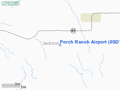
Location & QuickFacts
| FAA Information Effective: | 2008-09-25 |
| Airport Identifier: | 0SD7 |
| Airport Status: | Operational |
| Longitude/Latitude: | 101-44-01.5280W/43-31-27.9970N
-101.733758/43.524444 (Estimated) |
| Elevation: | 2775 ft / 845.82 m (Estimated) |
| Land: | 0 acres |
| From nearest city: | 3 nautical miles NE of Wanblee, SD |
| Location: | Washabaugh County, SD |
| Magnetic Variation: | 10E (1985) |
Owner & Manager
| Ownership: | Privately owned |
| Owner: | Stanley C Porch |
| Address: |
Wanblee, SD 57577 |
| Phone number: | 605-462-6356 |
| Manager: | Stanley C Porch |
| Address: |
Wanblee, SD 57577 |
| Phone number: | 605-462-6356 |
Airport Operations and Facilities
| Airport Use: | Private |
| Wind indicator: | Yes |
| Segmented Circle: | No |
| Control Tower: | No |
| Landing fee charge: | No |
| Sectional chart: | Cheyenne |
| Region: | AGL - Great Lakes |
| Boundary ARTCC: | ZDV - Denver |
| Tie-in FSS: | HON - Huron |
| FSS on Airport: | No |
| FSS Toll Free: | 1-800-WX-BRIEF |
Runway Information
Runway NW/SE
| Dimension: | 2000 x 50 ft / 609.6 x 15.2 m |
| Surface: | TURF, |
| |
Runway NW |
Runway SE |
| Traffic Pattern: | Left | Left |
|
Radio Navigation Aids
| ID |
Type |
Name |
Ch |
Freq |
Var |
Dist |
| GRN | NDB | Gordon | | 414.00 | 09E | 47.7 nm |
| PHP | VOR/DME | Philip | 021X | 108.40 | 12E | 32.2 nm |
Remarks
- FILED FOR RECORD PURPOSES ONLY.
Images and information placed above are from
http://www.airport-data.com/airport/0SD7/
We thank them for the data!
| General Info
|
| Country |
United States
|
| State |
SOUTH DAKOTA
|
| FAA ID |
0SD7
|
| Latitude |
43-31-27.997N
|
| Longitude |
101-44-01.528W
|
| Elevation |
2775 feet
|
| Near City |
WANBLEE
|
We don't guarantee the information is fresh and accurate. The data may
be wrong or outdated.
For more up-to-date information please refer to other sources.
|
|


