 |
|
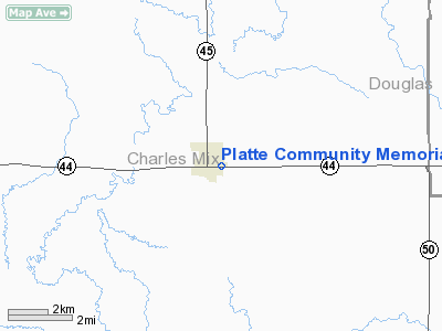
Platte Community Memorial Hospital Heliport |
Location & QuickFacts
| FAA Information Effective: | 2008-09-25 |
| Airport Identifier: | SD87 |
| Airport Status: | Operational |
| Longitude/Latitude: | 098-50-08.3100W/43-23-03.9800N
-98.835642/43.384439 (Estimated) |
| Elevation: | 1618 ft / 493.17 m (Estimated) |
| Land: | 0 acres |
| From nearest city: | 0 nautical miles N of Platte, SD |
| Location: | Charles Mix County, SD |
| Magnetic Variation: | 07E (1995) |
Owner & Manager
| Ownership: | Privately owned |
| Owner: | Platte Comm Hospital Inc |
| Address: | 609 E 7th
Platte, SD 57369 |
| Phone number: | 605-337-3364 |
| Manager: | Mark Burket |
| Address: | 609 E 7th
Platte, SD 57369 |
| Phone number: | 605-337-3364 |
Airport Operations and Facilities
| Airport Use: | Private
FOR MEDICAL USE ONLY. |
| Segmented Circle: | No |
| Control Tower: | No |
| Landing fee charge: | No |
| Sectional chart: | Omaha |
| Region: | AGL - Great Lakes |
| Boundary ARTCC: | ZMP - Minneapolis |
| Tie-in FSS: | HON - Huron |
| FSS on Airport: | No |
| FSS Toll Free: | 1-800-WX-BRIEF |
Runway Information
Helipad H1
| Dimension: | 120 x 80 ft / 36.6 x 24.4 m |
| Surface: | ASPH, |
| |
Runway H1 |
Runway |
| Traffic Pattern: | Left | Left |
|
Radio Navigation Aids
| ID |
Type |
Name |
Ch |
Freq |
Var |
Dist |
| AGZ | NDB | Wagner | | 392.00 | 08E | 30.7 nm |
| ISD | VOR | Winner | | 112.80 | 08E | 40.9 nm |
| MHE | VOR/DME | Mitchell | 029X | 109.20 | 07E | 42.0 nm |
Remarks
- PRVDD APCH/DEP HELICOPTER OPNS CONDUCTED 010-020 DEGS AND 160-230 USING HELIPAD AS CNTR; TKOF/LANDING AREA APPROPRIATELY MKD & LIGHTED; SINGLE WIRE BTN LIGHT POLES ON SOUTHSIDE BE REMOVED OR BURIED; WIND INDICATOR MAINTAINED ADJACENT TO TKOF/LANDING AREA.
Images and information placed above are from
http://www.airport-data.com/airport/SD87/
We thank them for the data!
| General Info
|
| Country |
United States
|
| State |
SOUTH DAKOTA
|
| FAA ID |
SD87
|
| Latitude |
43-23-03.980N
|
| Longitude |
098-50-08.310W
|
| Elevation |
1618 feet
|
| Near City |
PLATTE
|
We don't guarantee the information is fresh and accurate. The data may
be wrong or outdated.
For more up-to-date information please refer to other sources.
|
|


